Jungholz: what to see and where to eat
Everything below comes from open data and each row says where it came from. We have not been to any of these places and we do not rank them.
Filters
Things to see
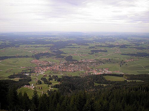 market municipality of germany
Nesselwang
market municipality in the district of Ostallgäu, Bavaria, Germany
- archaeological site
St. Lorenz Basilica
church building in Kempten, Swabia, Germany
Getting there Nearest stop or station Zentrum, about 5 min on foot OpenStreetMap
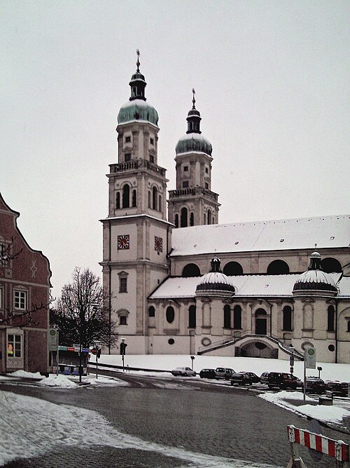
Bene16 at German Wikipedia (Original text: Bene16) / CC BY-SA 3.0
abbeyKempten Abbey
monastery
Getting there Nearest stop or station Zentrum, about 4 min on foot OpenStreetMap
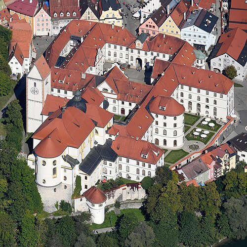 monastery
St. Mang's Abbey
monastery in Bavaria, Germany
Getting there Nearest stop or station Füssen, about 8 min on foot OpenStreetMap
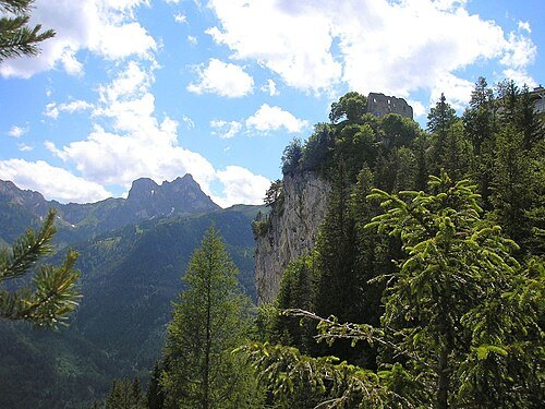 castle
Falkenstein Castle
building in Pfronten, Swabia, Germany
Getting there Nearest stop or station Pfronten-Steinach, about 20 min on foot OpenStreetMap
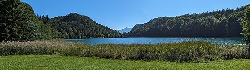
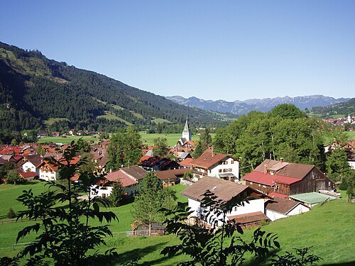
--Xocolatl 22:29, 10 September 2006 (UTC) / Public domain
spa townBad Hindelang
market municipality in the district of Oberallgäu, Bavaria, Germany
Getting there Nearest stop or station Hornbahn Talstation, about 9 min on foot OpenStreetMap
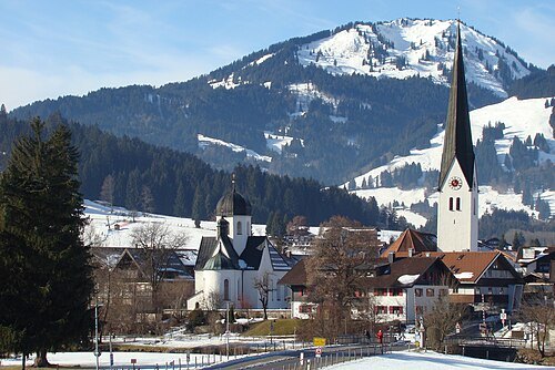
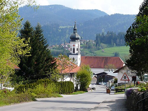 market municipality of germany
Wertach
market municipality in the district of Oberallgäu, Bavaria, Germany
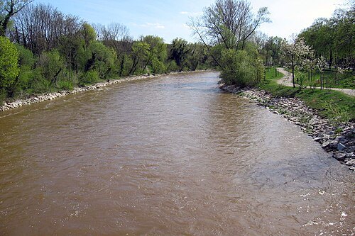
User:Omnidoom 999 / CC BY-SA 3.0
riverWertach
tributary of Lech in Bavaria, Germany
Getting there Nearest stop or station Grenzwiesbahn, about 17 min on foot OpenStreetMap
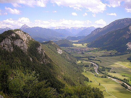
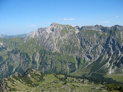
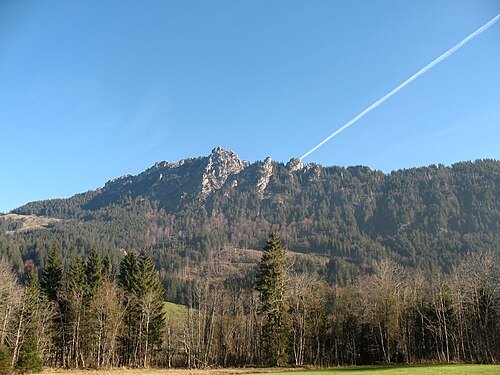 double summit
Sorgschrofen
mountain of the Allgäu Alps at the border of Bavaria, Germany, and Tyrol, Austria
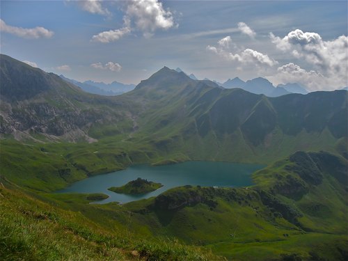
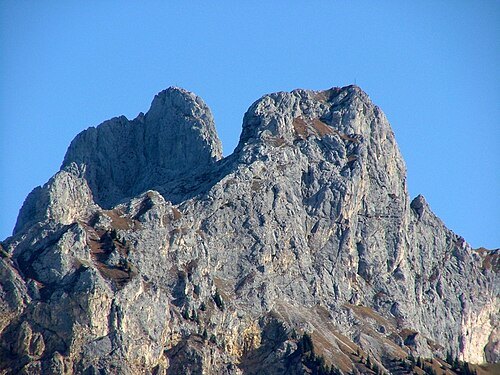
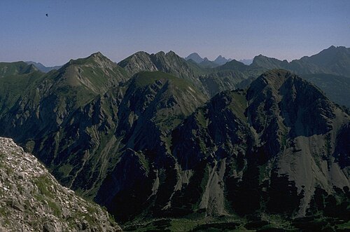
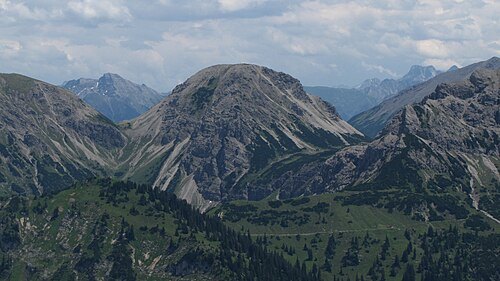 mountain
Schänzlekopf
mountain of the Allgäu Alps at the border of Bavaria, Germany, and Tyrol, Austria
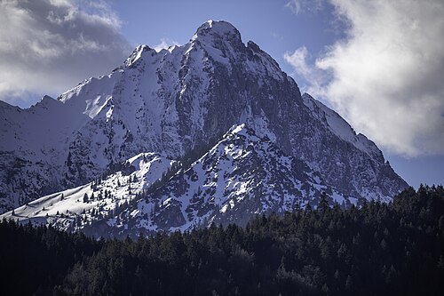
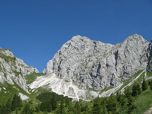
Springginggelar / Public domain
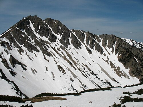
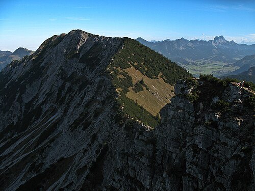
mountainSchänzlespitz
mountain of the Allgäu Alps at the border of Bavaria, Germany, and Tyrol, Austria
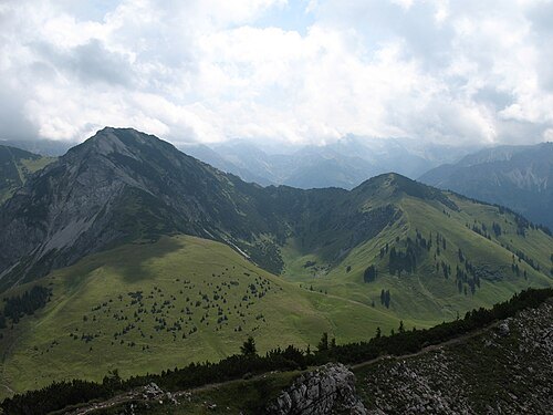
 mountain
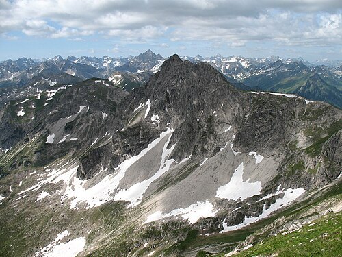
Kühgundkopf
mountain of the Allgäu Alps at the border of Bavaria, Germany, and Tyrol, Austria
Getting there Nearest stop or station Wannenjochbahn, about 15 min on foot OpenStreetMap
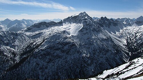
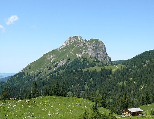
 mountain
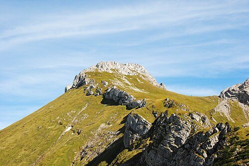
Glasfelderkopf
mountain of the Allgäu Alps at the border of Bavaria, Germany, and Tyrol, Austria
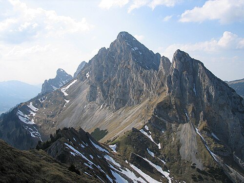
 mountain
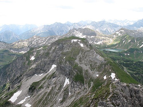
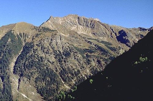
Aggenstein
mountain of the Allgäu Alps at the border of Bavaria, Germany and Tyrol, Austria
Getting there Nearest stop or station Hochalpbahn Bergstation, about 16 min on foot OpenStreetMap
Springginggelar / Public domain
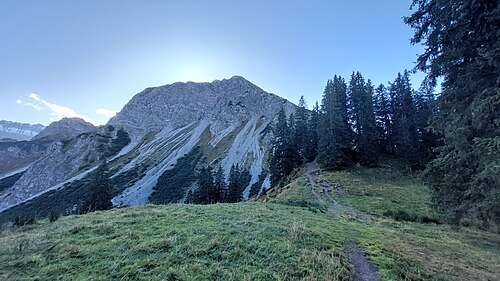
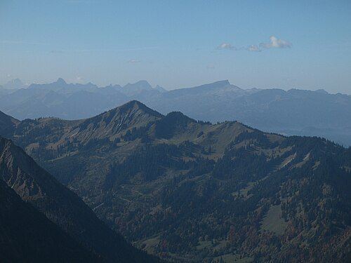
minor summitGundkopf
ridge prominence of Wengenköpfe in the Allgäu Alps in Bavaria, Germany
Getting there Nearest stop or station Gipfelstation, about 12 min on foot OpenStreetMap
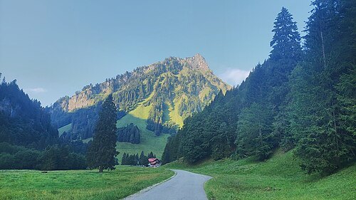
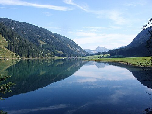
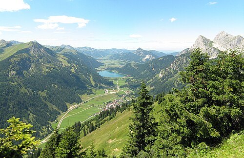
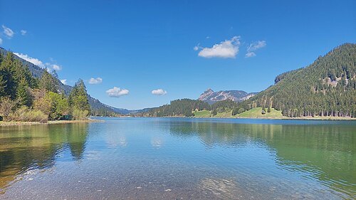 lake
Haldensee
lake in the municipalities of Grän and Nesselwängle, Tyrol, Austria
Getting there Nearest stop or station Schachenlift I, about 17 min on foot OpenStreetMap
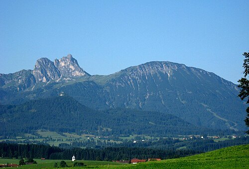 mountain
Breitenberg
mountain of the Tannheim Mountains of the Allgäu Alps in Bavaria, Germany
Getting there Nearest stop or station Hochalpbahn Bergstation, about 10 min on foot OpenStreetMap
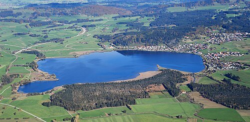
 mountain
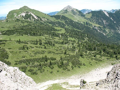
Litnisschrofen
mountain of the Allgäu Alps in Tyrol, Austria
 mountain
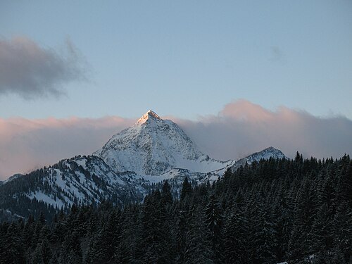
Schochenspitze
mountain of the Allgäu Alps in Tyrol, Austria
 mountain
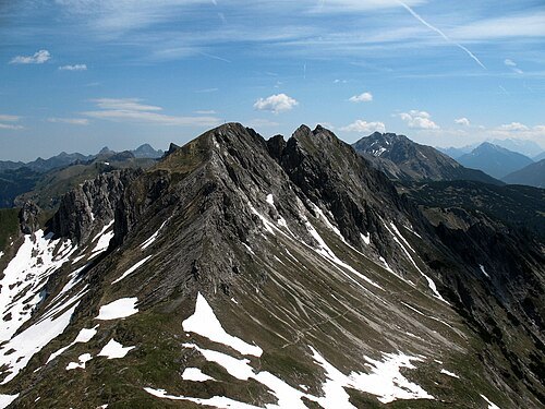
Gaishorn
mountain of the Allgäu Alps in Tyrol, Austria
 main peak
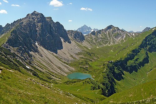
Kälbelesspitze
main peak of Kastenköpfe of the Allgäu Alps at the border of Bavaria, Germany, and Tyrol, Austria
 mountain
Lachenspitze
mountain of the Allgäu Alps in Tyrol, Austria
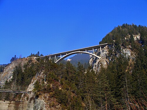 mountain pass
Gaicht Pass
mountain pass in the Allgäu Alps in Tyrol, Austria
Getting there Nearest stop or station Moosberg, about 10 min on foot OpenStreetMap
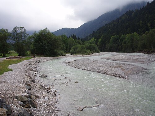
--Xocolatl 11:44, 11 September 2006 (UTC) / Public domain
mountain riverOstrach
right tributary of Iller in Bavaria, Germany
Getting there Nearest stop or station Blaichach (Allgäu), about 20 min on foot OpenStreetMap
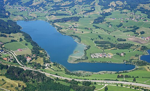 lake
Niedersonthofen Lake
lake in the municipality of Waltenhofen, Bavaria, Germany
Getting there Nearest stop or station Martinszell (Allgäu), about 14 min on foot OpenStreetMap
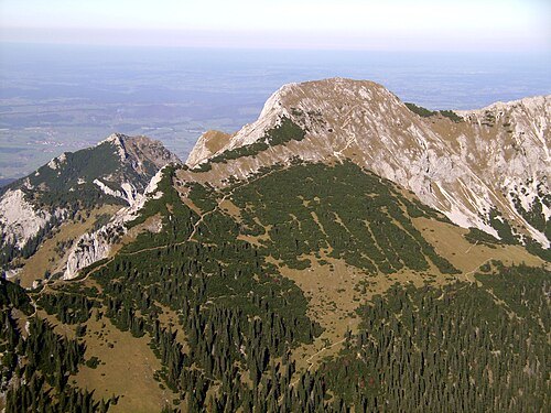 main peak
Große Schlicke
massif of the Allgäu Alps in Tyrol, Austria
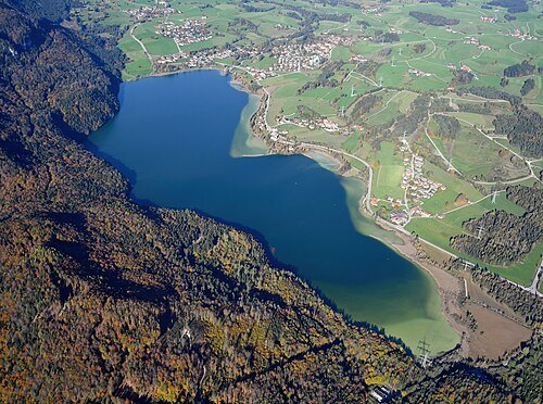 lake
Weißensee
lake in the foothills of the Allgäu Alps in the municipality of Füssen, Bavaria, Germany
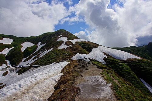 minor summit
Zeiger
ridge prominence of Wengenköpfe in the Allgäu Alps in Bavaria, Germany
Getting there Nearest stop or station Sonngehrenbahn, about 7 min on foot OpenStreetMap
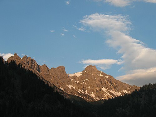 mountain shoulder
Kleiner Daumen
mountain shoulder of Großer Daumen in the Allgäu Alps in Bavaria, Germany
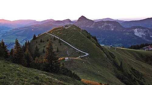 minor summit
Neunerkopf
ridge prominence in the northern ridge of Sulzspitze in the Allgäu Alps in Tyrol, Austria
Getting there Nearest stop or station Gundlift II, about 2 min on foot OpenStreetMap
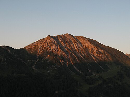 mountain
Krinnenspitze
mountain of the Allgäu Alps in Tyrol, Austria
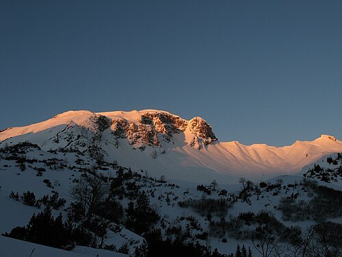 mountain
Sulzspitze
mountain of the Allgäu Alps in Tyrol, Austria
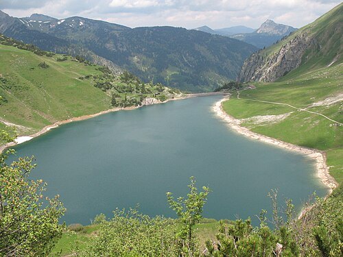
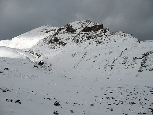 mountain
Rote Spitze
mountain of the Allgäu Alps in Tyrol, Austria
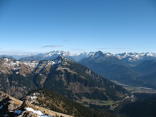 main peak
Gaichtspitze
massif of the Allgäu Alps in Tyrol, Austria
Getting there Nearest stop or station Hahnenkammbahn Höfen, about 17 min on foot OpenStreetMap
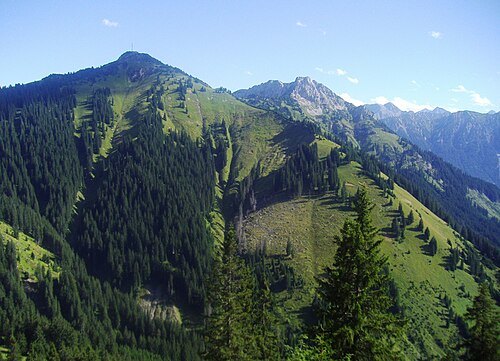 mountain
Hahnenkamm
mountain of the Allgäu Alps in Tyrol, Austria


Places to eat
No eating place in this city lists its cuisine and opening hours yet.
Nothing here matches that. Clear a filter and try again.
Opening hours and tickets: OpenStreetMap contributors. Each one shows the day a volunteer last wrote it down, so check the official site before you set out.