Innsbruck: what to see and where to eat
Everything below comes from open data and each row says where it came from. We have not been to any of these places and we do not rank them.
Filters
Things to see
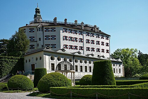
 museum
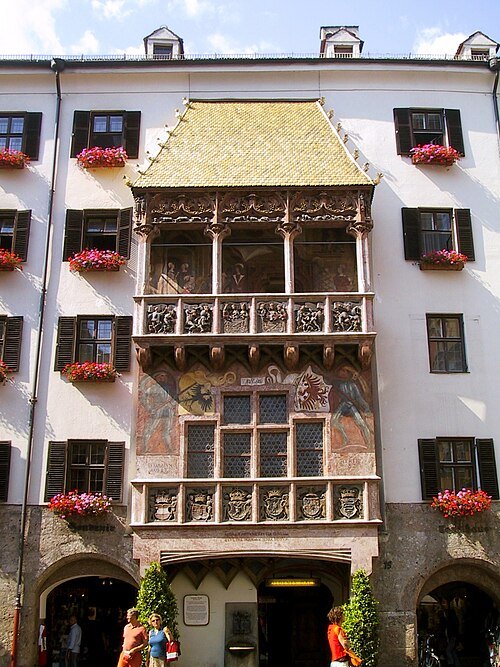
Golden Roof
building in Innsbruck, Austria
Getting there Nearest stop or station Hauptbahnhof, about 12 min on foot OpenStreetMap
Simon Legner (User:simon04) / CC BY-SA 4.0
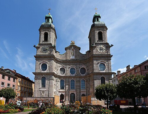
parish churchInnsbruck Cathedral
church building in Innsbruck, Austria
Getting there Nearest stop or station Hauptbahnhof, about 13 min on foot OpenStreetMap
 museum
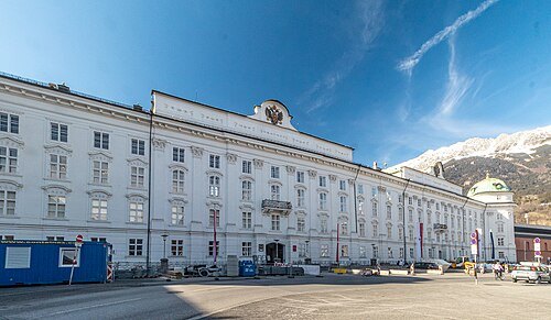
Hofburg, Innsbruck
Habsburg palace in Innsbruck, Austria, and considered one of the three most significant cultural buildings in the country, along with the Hofburg Palace and Schönbrunn Palace in Vienna
Getting there Nearest stop or station Hauptbahnhof, about 12 min on foot OpenStreetMap
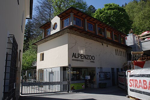 zoo
Alpenzoo Innsbruck
zoo in Austria
Getting there Nearest stop or station Hungerburg, about 10 min on foot OpenStreetMap
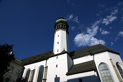 castle church
Hofkirche
church in Innsbruck, Austria
Getting there Nearest stop or station Hauptbahnhof, about 11 min on foot OpenStreetMap
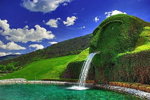 museum
Swarovski Crystal Worlds
museum in Austria
Getting there Nearest stop or station Fritzens-Wattens, about 20 min on foot OpenStreetMap
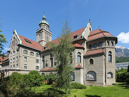
Simon Legner (User:simon04) / CC BY-SA 4.0
church buildingCollegium Canisianum
seminary
Getting there Nearest stop or station Innsbruck Hauptbahnhof, about 19 min on foot OpenStreetMap
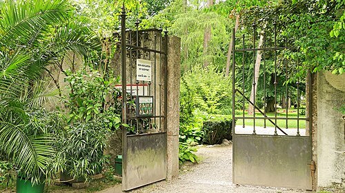 park
Hofgarten
protected park in Innsbruck, Austria
Getting there Nearest stop or station Innsbruck Hauptbahnhof, about 15 min on foot OpenStreetMap
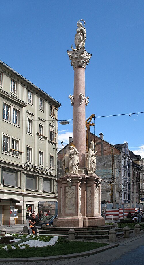 victory column
St. Anne's Column
victory column in Innsbruck
Getting there Nearest stop or station Hauptbahnhof, about 8 min on foot OpenStreetMap
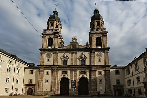
Simon Legner (User:simon04) / CC BY-SA 4.0
church buildingJesuitenkirche Innsbruck
Jesuit church in Innsbruck that was built from 1627 to 1646
Getting there Nearest stop or station Innsbruck Hauptbahnhof, about 10 min on foot OpenStreetMap
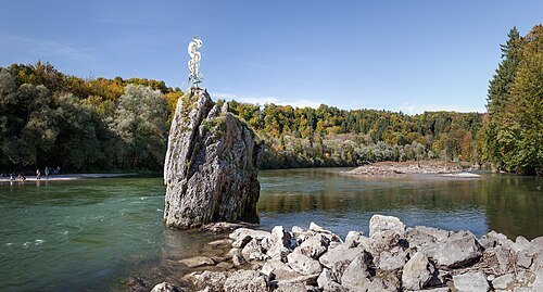
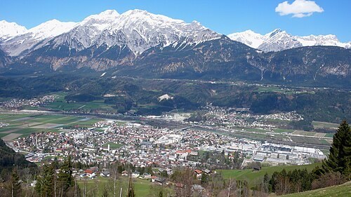
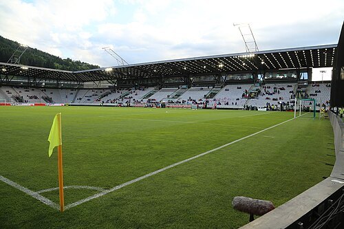 association football venue
Tivoli Stadion Tirol
sports venue in Innsbruck, Austria
Getting there Nearest stop or station Innsbruck Stubaitalbf, about 16 min on foot OpenStreetMap
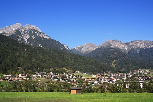
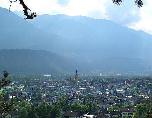
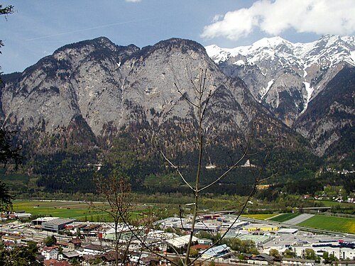
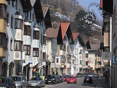
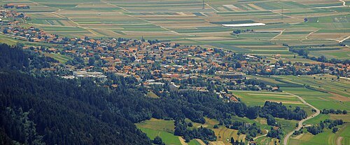
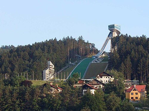 ski jumping hill
Bergiselschanze
ski jump hill at Innsbruck, Austria
Getting there Nearest stop or station Innsbruck Sonnenburgerhof, about 8 min on foot OpenStreetMap
- cave
Spannagel Cave
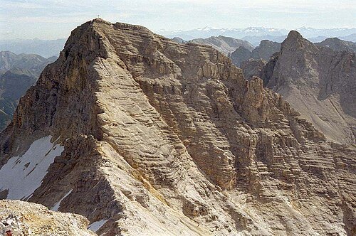
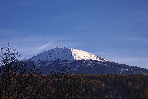
No machine-readable author provided. Veitmueller assumed (based on copyright claims). / CC BY-SA 2.5
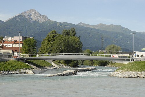
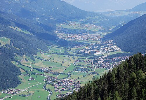
- arena
Olympiahalle
arena in Innsbruck, Tyrol, Austria
Getting there Nearest stop or station Innsbruck Hauptbahnhof, about 14 min on foot OpenStreetMap
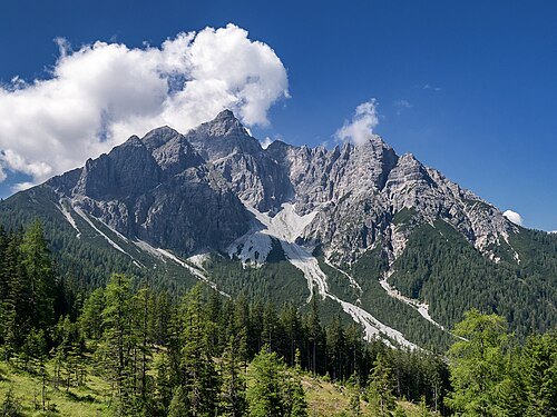
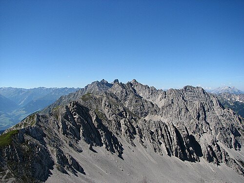
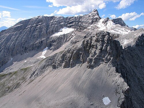
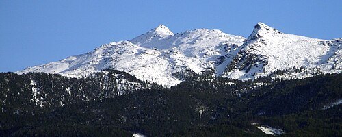
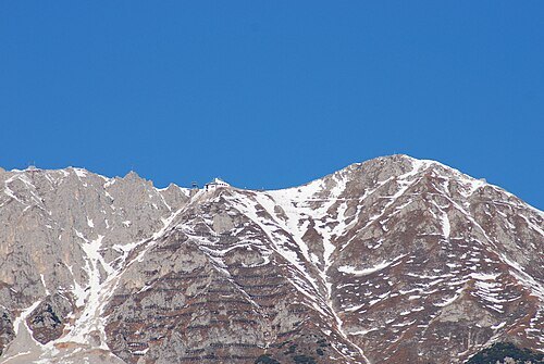
No machine-readable author provided. Veitmueller assumed (based on copyright claims). / CC BY-SA 2.5
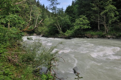 river
Ruetz
river in Austria
Getting there Nearest stop or station Mutters Feldeler, about 17 min on foot OpenStreetMap
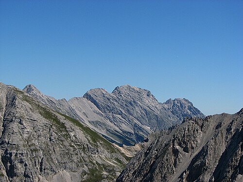
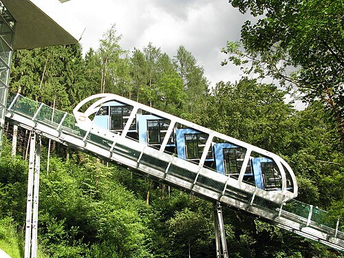
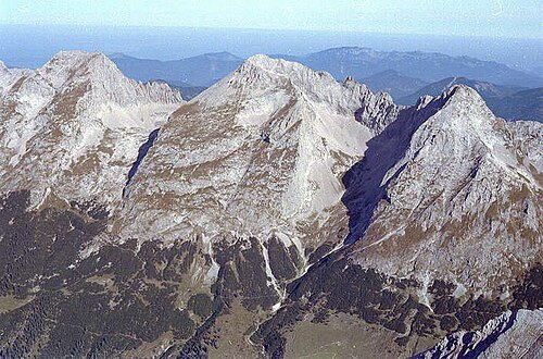
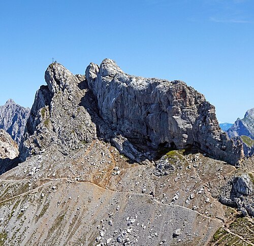 mountain
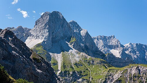
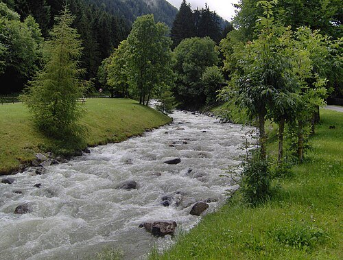
Westliche Karwendelspitze
mountain in the Karwendel at the border Tyrol / Bavaria
Getting there Nearest stop or station Karwendelbahn Bergstation, about 4 min on foot OpenStreetMap
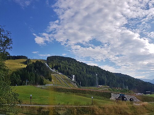
Simon Legner (User:simon04) / CC BY-SA 4.0
ski jumping complexToni-Seelos-Olympiaschanze
ski jumping hill in Austria
Getting there Nearest stop or station Gschwandtkopf, about 7 min on foot OpenStreetMap
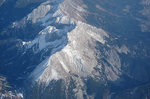
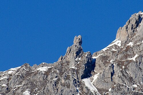
No machine-readable author provided. Veitmueller assumed (based on copyright claims). / CC BY-SA 2.5
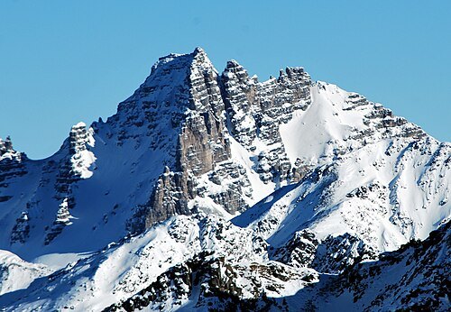
No machine-readable author provided. Luidger assumed (based on copyright claims). / CC BY-SA 3.0
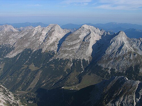
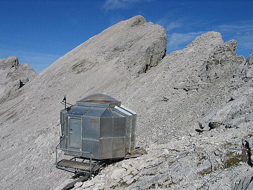
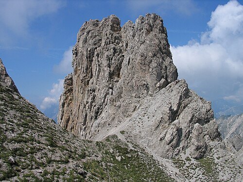
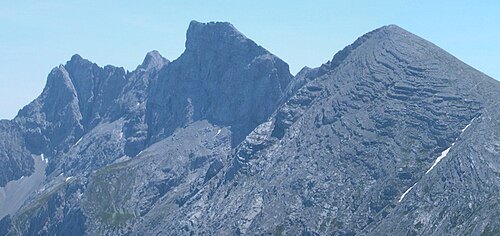
mountainLaliderer Spitze
mountain
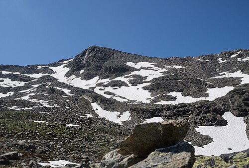
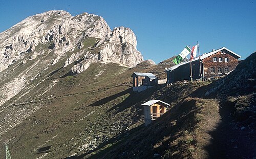 mountain
Reither Spitze
mountain in the Karwendel in Tyrol
Getting there Nearest stop or station Härmelekopfbahn, about 15 min on foot OpenStreetMap
 mountain
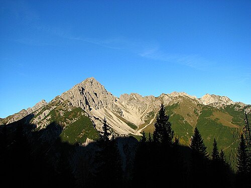
Saile
mountain in Austria
Getting there Nearest stop or station Birgitzköpfl, about 11 min on foot OpenStreetMap
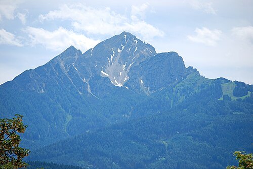
- mountain
Grosser Lafatscher
mountain
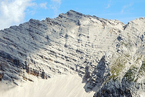
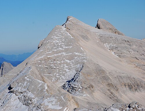 mountain
Mittlere Ödkarspitze
mountain in the Karwendel in Tyrol
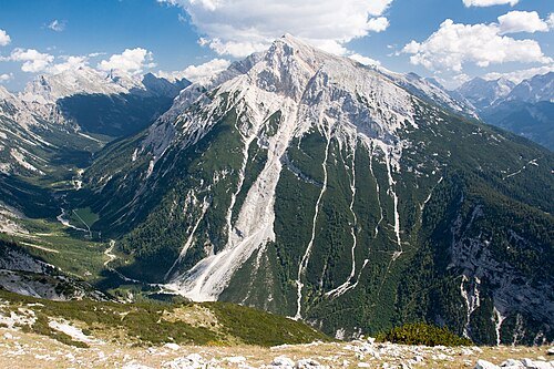
2015 Michael 2015 / CC BY-SA 4.0
mountainPleisenspitze
mountain
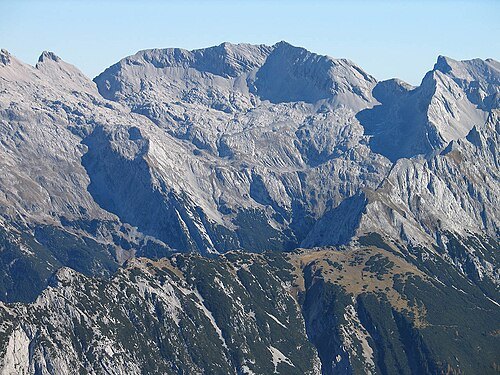 mountain
Grubenkarspitze
mountain
- mountain
Große Seekarspitze
mountain


Places to eat
Nothing here matches that. Clear a filter and try again.
Opening hours and tickets: OpenStreetMap contributors. Each one shows the day a volunteer last wrote it down, so check the official site before you set out.