Feldkirch: what to see and where to eat
Everything below comes from open data and each row says where it came from. We have not been to any of these places and we do not rank them.
Filters
Things to see
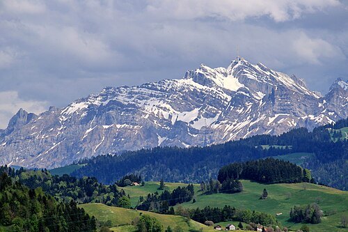
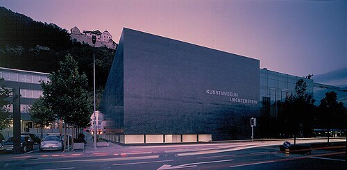
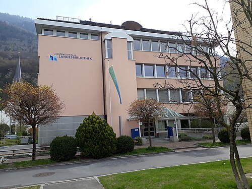
- cathedral
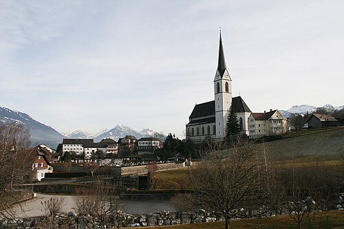
Saint Nicholas church Feldkirch
parish church in Feldkirch, Austria
Getting there Nearest stop or station Busplatz, about 3 min on foot OpenStreetMap
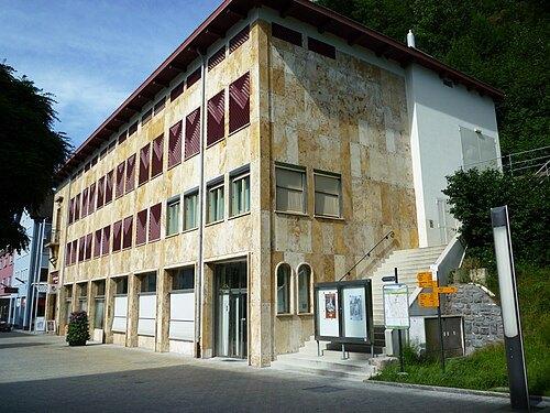
Clemens M. Brandstetter, Buers / CC BY-SA 3.0
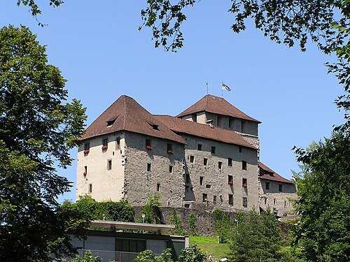
museumSchattenburg
building in Vorarlberg, Austria
Getting there Nearest stop or station Busplatz, about 5 min on foot OpenStreetMap
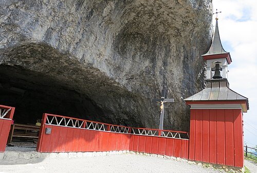 archaeological site
Wildkirchli
Swiss cultural property of national significance in Schwende
Getting there Nearest stop or station Wasserauen, about 16 min on foot OpenStreetMap
- museum building
Jewish Museum of Hohenems
museum in Hohenems, Austria dedicated to Jewish history and culture
- castle
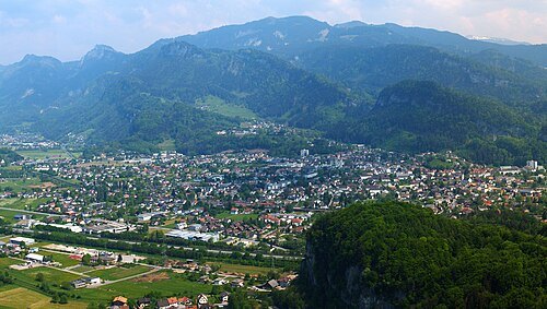
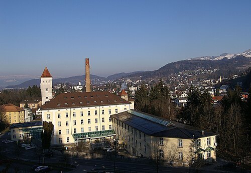
Werdenberg Castle
castle in the tiny town of the same name in the canton of St. Gallen, Switzerland
Getting there Nearest stop or station Buchs SG, about 20 min on foot OpenStreetMap
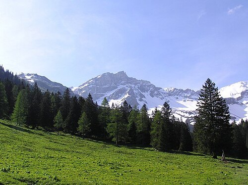
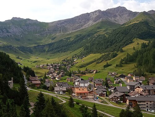
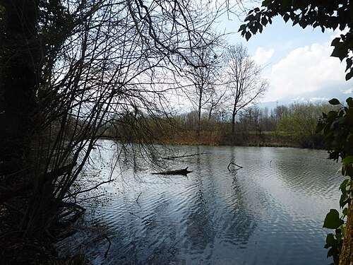
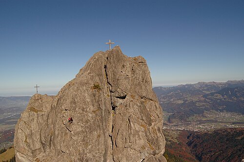
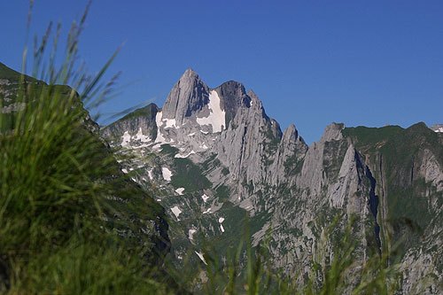
Roland Zumbühl (Picswiss), Arlesheim (Commons:Picswiss project) / CC BY-SA 3.0
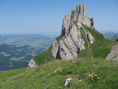
mountainAltmann
mountain in the Appenzell Alps
Getting there Nearest stop or station Rotsteinpass, about 10 min on foot OpenStreetMap
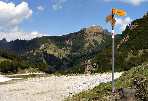
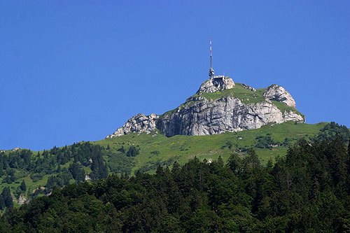
Roland Zumbühl (Picswiss), Arlesheim (Commons:Picswiss project) / CC BY-SA 3.0
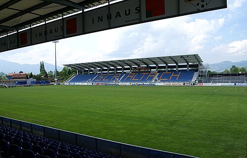
- association football venue
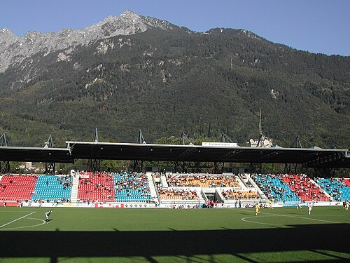
Sportpark Eschen-Mauren
multi-sport complex in Liechtenstein
Getting there Nearest stop or station Nendeln, about 11 min on foot OpenStreetMap
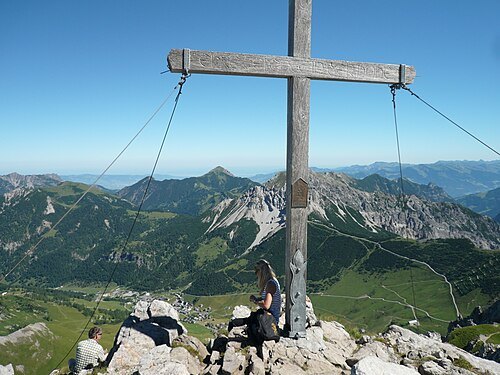 mountain
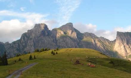
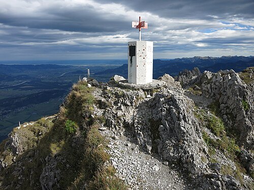
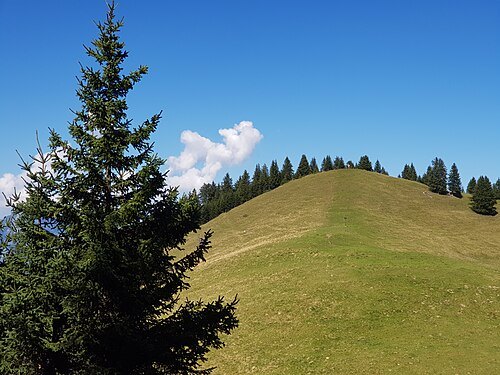
Augstenberg
mountain in Liechtenstein
Getting there Nearest stop or station Täli, about 17 min on foot OpenStreetMap
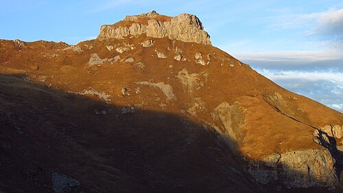
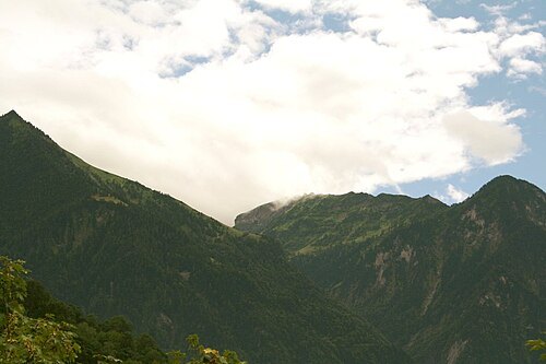
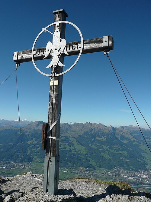
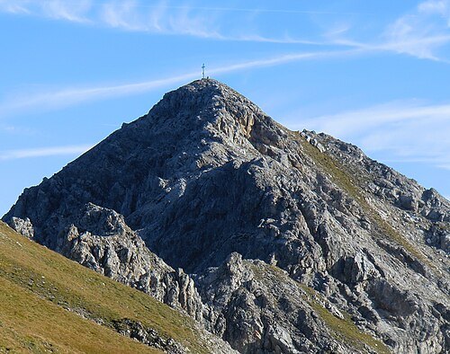
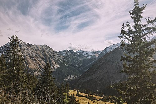
Simon Waelti simonwaelti / CC0
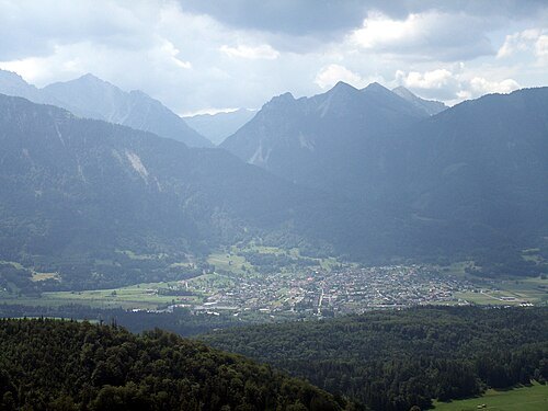
valleyBrandnertal
valley in Vorarlberg, Austria
Getting there Nearest stop or station Dorfbahn - Talstation, about 12 min on foot OpenStreetMap
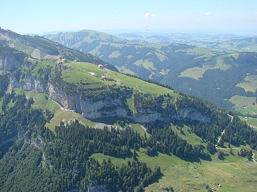
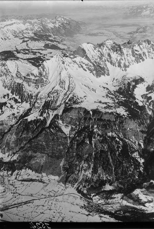
- mountain
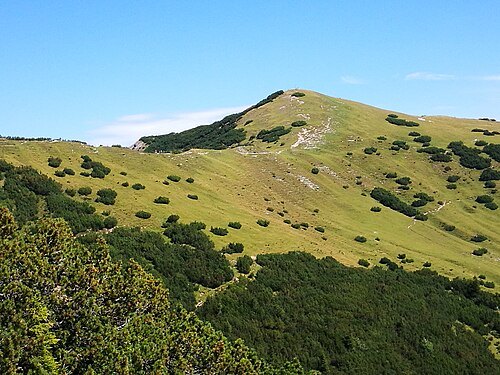
Gamsgrat
mountain in Austria
Getting there Nearest stop or station Sareis, about 13 min on foot OpenStreetMap
 mountain
Altenalp Türm
mountain
Getting there Nearest stop or station Transportbahn Mesmer, about 16 min on foot OpenStreetMap
Roland Zumbühl (Picswiss), Arlesheim (Commons:Picswiss project) / CC BY-SA 3.0
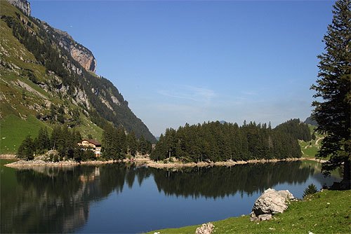
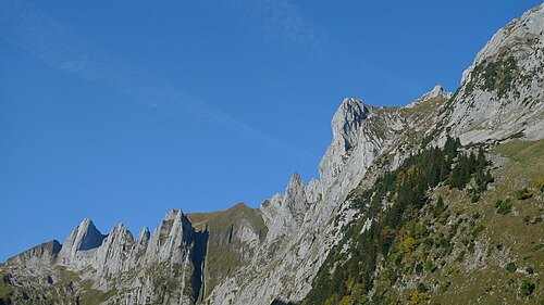
lakeSeealpsee
lake in Appenzell Innerrhoden, Switzerland
Getting there Nearest stop or station Transportbahn Meglisalp, about 17 min on foot OpenStreetMap
- mountain
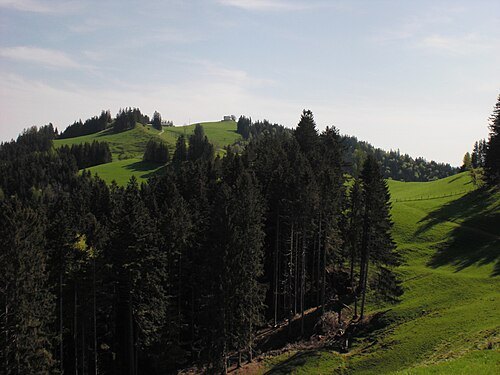
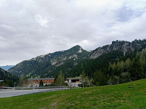
Rauher Berg
mountain in the Rätikon at the border Vorarlberg / Liechtenstein
Getting there Nearest stop or station Sareis, about 13 min on foot OpenStreetMap
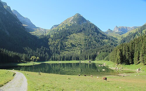
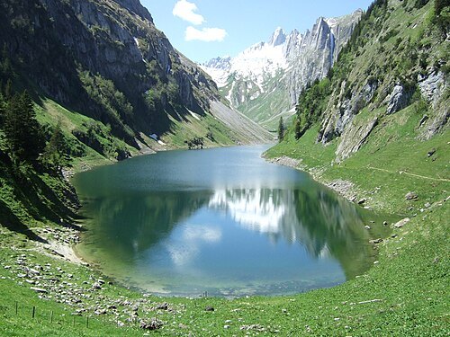 lake
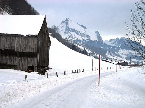
Fälensee
mountain lake in the Alpstein region in the municipality of Brülisau in the canton of Appenzell Innerrhoden, Switzerland


Places to eat
- restaurant
Gasthaus Weinstube & Bierstadel
Food: regional
- restaurant
Pizzeria Trattoria Basilico
Food: pizza, pasta
- restaurant
kantine
Food: pizza
- restaurant
Ay Restaurant
Food: indian, chinese
- cafe
Café Oase
Food: coffee shop
- cafe
Magma
Food: regional
- restaurant
Pancho's Cantina
Food: mexican
Nothing here matches that. Clear a filter and try again.
Opening hours and tickets: OpenStreetMap contributors. Each one shows the day a volunteer last wrote it down, so check the official site before you set out.