Sydney: what to see and where to eat
Everything below comes from open data and each row says where it came from. We have not been to any of these places and we do not rank them.
Filters
Things to see
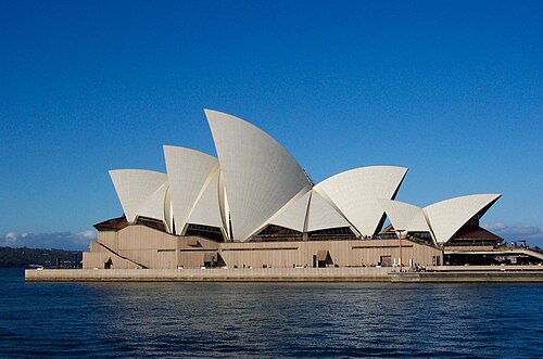 historical cultural heritage site
Sydney Opera House
multi-venue performing arts centre in Sydney, New South Wales, Australia
Getting there Nearest stop or station Circular Quay, about 10 min on foot OpenStreetMap
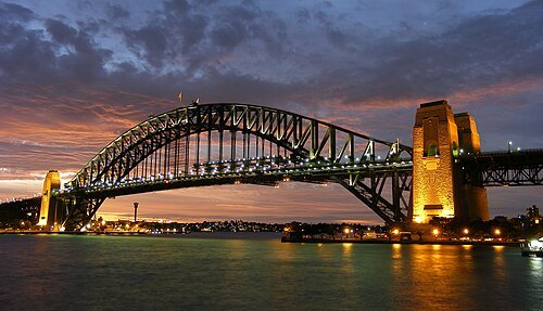 historical cultural heritage site
Sydney Harbour Bridge
bridge crossing Sydney Harbour in Australia
Getting there Nearest stop or station Milsons Point Wharf, about 5 min on foot OpenStreetMap
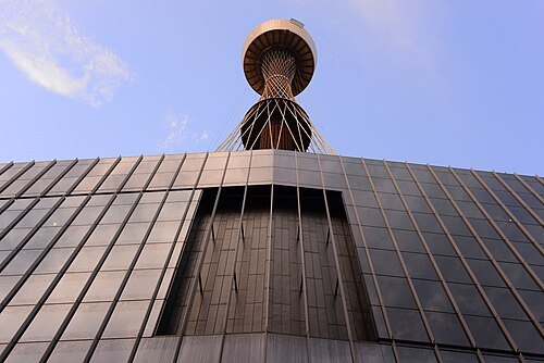 hyperboloid structure
Sydney Tower
tall architectural structure in Sydney, Australia
Getting there Nearest stop or station QVB, about 4 min on foot OpenStreetMap
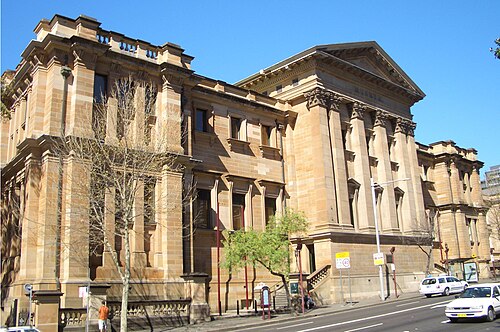
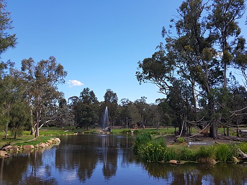
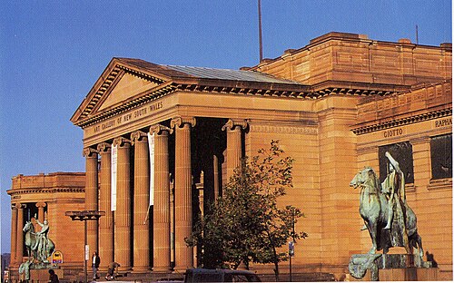
Siegfried Nugent (talk) / CC BY-SA 3.0
art museumArt Gallery of New South Wales
public art gallery and museum in Sydney, Australia
Getting there Nearest stop or station St James, about 9 min on foot OpenStreetMap
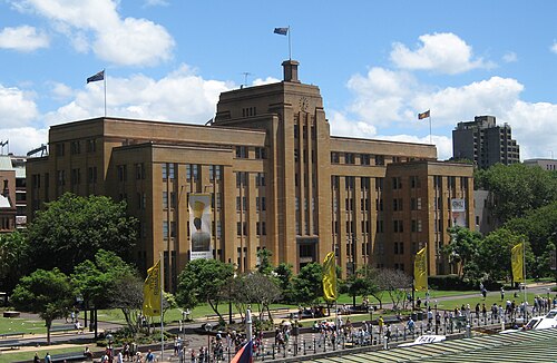
Photograph by Greg O'Beirne / CC BY 2.5
art museumMuseum of Contemporary Art Australia
art museum in Sydney, Australia
Getting there Nearest stop or station Circular Quay, about 3 min on foot OpenStreetMap
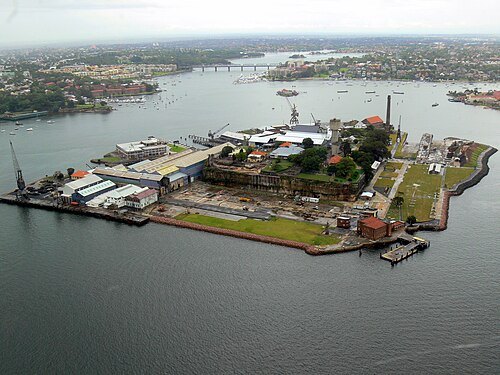
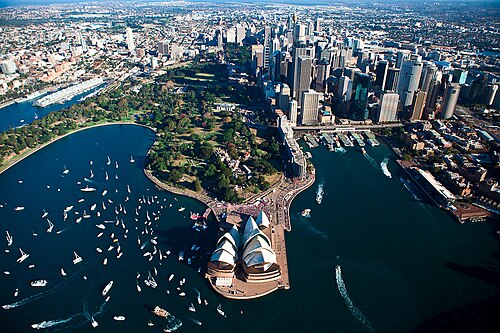
Pavel from Sydney, AU / CC BY 2.0
botanical gardenRoyal Botanic Gardens, Sydney
botanic gardens in Sydney, New South Wales, Australia
Getting there Nearest stop or station Andrew Boy Charlton Pool (441 Terminus), about 6 min on foot OpenStreetMap
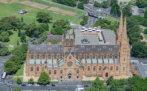 minor basilica
St Mary’s Cathedral
cathedral in Sydney, New South Wales, Australia
Getting there Nearest stop or station St James, about 2 min on foot OpenStreetMap
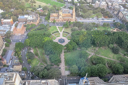
Jorge Láscar from Melbourne, Australia / CC BY 2.0
parkHyde Park
park in Sydney, New South Wales, Australia
Getting there Nearest stop or station Gadigal, about 4 min on foot OpenStreetMap
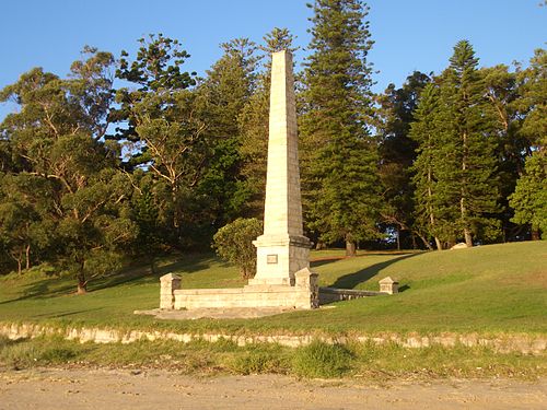
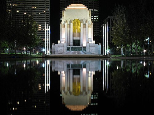
Digital fuel (talk) / Public domain
military museumAnzac Memorial
memorial and museum in Sydney, Australia
Getting there Nearest stop or station Museum, about 1 min on foot OpenStreetMap
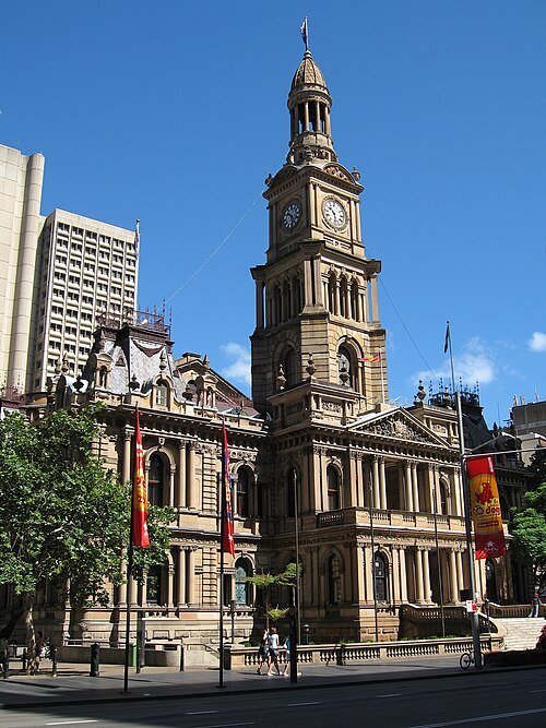
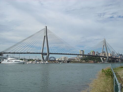
Gregwmay at English Wikipedia / Public domain
road bridgeANZAC Bridge
cable-stayed bridge in Sydney, Australia
Getting there Nearest stop or station Blackwattle Bay Wharf, about 4 min on foot OpenStreetMap
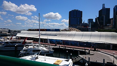 public aquarium
Sea Life Sydney Aquarium
aquarium in Sydney, Australia
Getting there Nearest stop or station Darling Harbour Wharf 9, about 1 min on foot OpenStreetMap
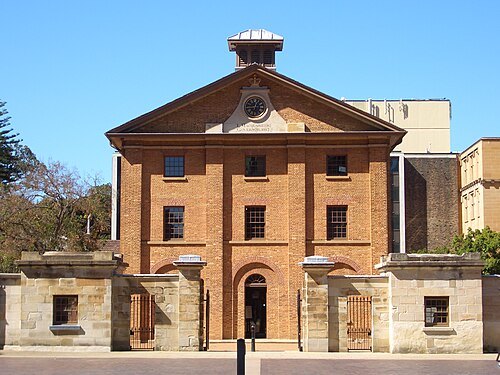
The original uploader was J Bar at English Wikipedia. / CC BY-SA 3.0
historical cultural heritage siteHyde Park Barracks
barracks in Sydney, New South Wales, Australia
Getting there Nearest stop or station St James, about 3 min on foot OpenStreetMap
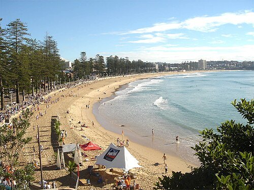 beach
Manly Beach
beach situated in Sydney's Northern Beaches, Australia
Getting there Nearest stop or station Manly Wharf 3, about 20 min on foot OpenStreetMap
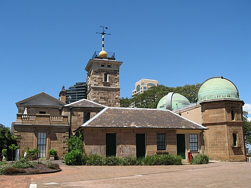
Photograph by Greg O'Beirne / CC BY 2.5
astronomical observatorySydney Observatory
astronomical observatory in Sydney, New South Wales, Australia
Getting there Nearest stop or station Barangaroo, about 3 min on foot OpenStreetMap
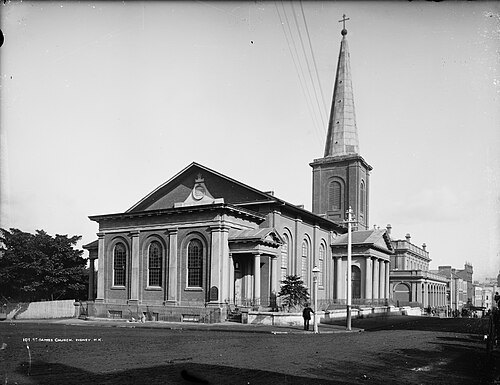
Henry King (1855-1923) / Public domain
church buildingSt James’ Church, Sydney
Anglican parish church in inner city Sydney, Australia
Getting there Nearest stop or station Martin Place, about 3 min on foot OpenStreetMap
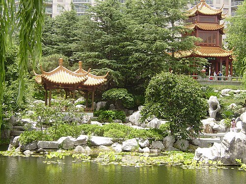 chinese garden
Chinese Garden of Friendship
Chinese garden in Chinatown, Sydney, Australia
Getting there Nearest stop or station Paddy's Markets, about 5 min on foot OpenStreetMap
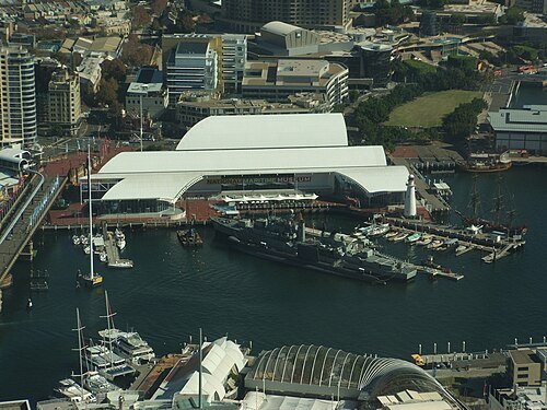 national museum
Australian National Maritime Museum
maritime museum in Sydney, New South Wales, Australia
Getting there Nearest stop or station Maritime Museum (389 terminus), about 1 min on foot OpenStreetMap
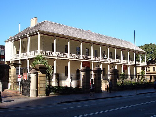
J Bar at English Wikipedia / CC BY-SA 3.0
museumSydney Mint
building in Sydney
Getting there Nearest stop or station Martin Place, about 3 min on foot OpenStreetMap
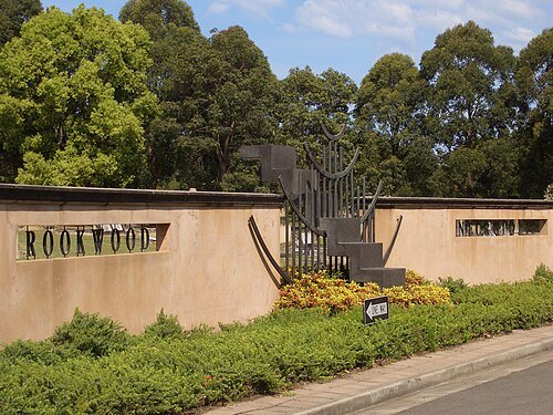 cemetery
Rookwood Necropolis
cemetery in Sydney, Australia
Getting there Nearest stop or station Cemetery Station No. 2, about 4 min on foot OpenStreetMap
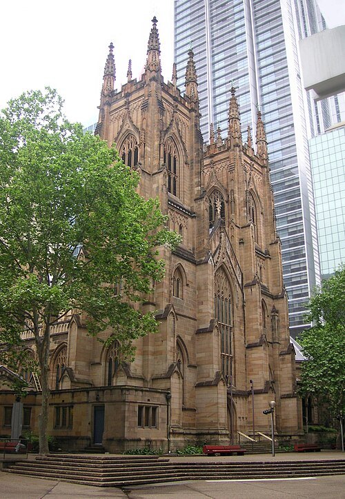 anglican or episcopal cathedral
St Andrew's Cathedral
cathedral church of the Anglican Diocese of Sydney, Australia
Getting there Nearest stop or station Town Hall, about 1 min on foot OpenStreetMap
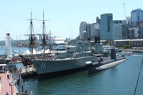 preserved watercraft
HMAS Vampire
1956 Daring-class destroyer
Getting there Nearest stop or station Darling Harbour Wharf 9, about 2 min on foot OpenStreetMap
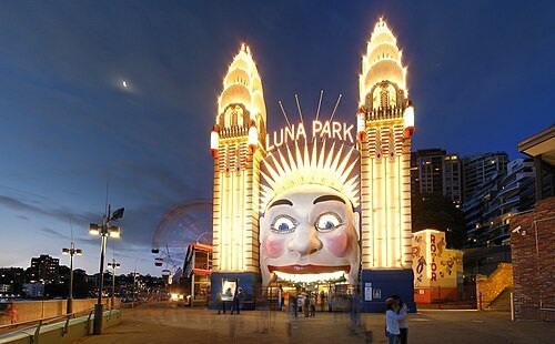 amusement park
Luna Park
amusement park in Sydney
Getting there Nearest stop or station Milsons Point Wharf, about 4 min on foot OpenStreetMap
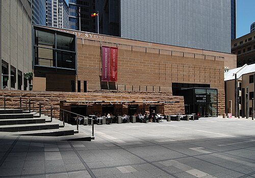 museum
Museum of Sydney
museum in Sydney, Australia
Getting there Nearest stop or station Circular Quay, about 4 min on foot OpenStreetMap
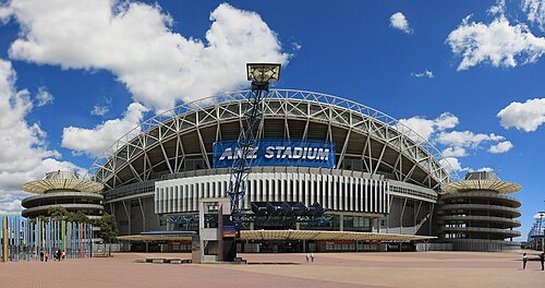 multi-purpose stadium
Accor Stadium
stadium in Sydney, New South Wales, Australia
Getting there Nearest stop or station Olympic Park, about 9 min on foot OpenStreetMap
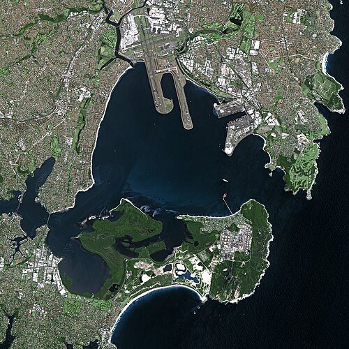
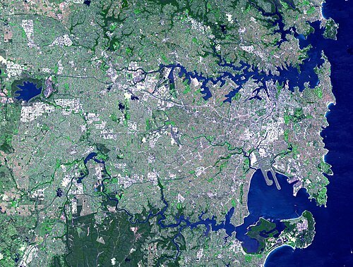 bay
Port Jackson
natural harbour of Sydney, New South Wales, Australia
Getting there Nearest stop or station Andrew Boy Charlton Pool (441 Terminus), about 19 min on foot OpenStreetMap
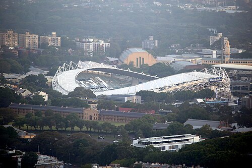 defunct sports venue
Sydney Football Stadium
former sports venue in Sydney, Australia
Getting there Nearest stop or station Moore Park, about 9 min on foot OpenStreetMap
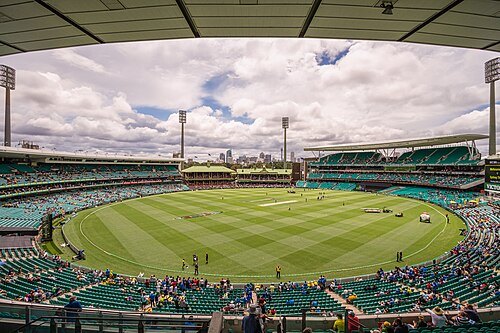
Marc Dalmulder from Hamlyn Terrace, Australia / CC BY 2.0
rugby union venueSydney Cricket Ground
Cricket stadium in Sydney, New South Wales, Australia
Getting there Nearest stop or station Moore Park, about 5 min on foot OpenStreetMap
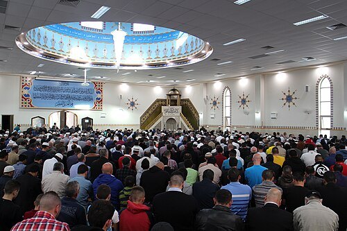
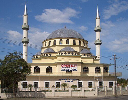 mosque
Auburn Gallipoli Mosque
mosque in Australia
Getting there Nearest stop or station Berala, about 17 min on foot OpenStreetMap
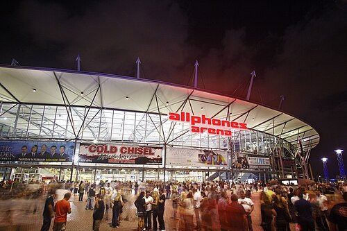 stadium
Sydney SuperDome
large multipurpose arena located in Sydney
Getting there Nearest stop or station Olympic Park, about 11 min on foot OpenStreetMap
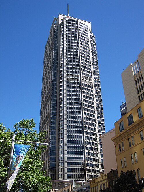 tower block
Citigroup Centre
skyscraper in Sydney, New South Wales, Australia
Getting there Nearest stop or station Town Hall, about 2 min on foot OpenStreetMap
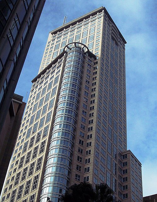 tower block
Chifley Tower
skyscraper in Sydney, New South Wales, Australia
Getting there Nearest stop or station Martin Place, about 3 min on foot OpenStreetMap
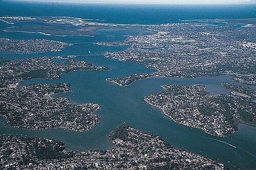
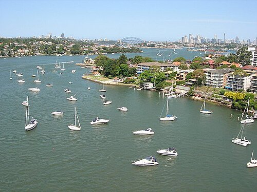 river
Parramatta River
river in Australia
Getting there Nearest stop or station Cockatoo Island, about 13 min on foot OpenStreetMap
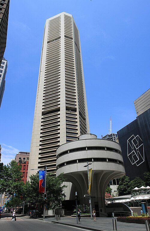 skyscraper
MLC Centre
skyscraper
Getting there Nearest stop or station Martin Place, about 3 min on foot OpenStreetMap
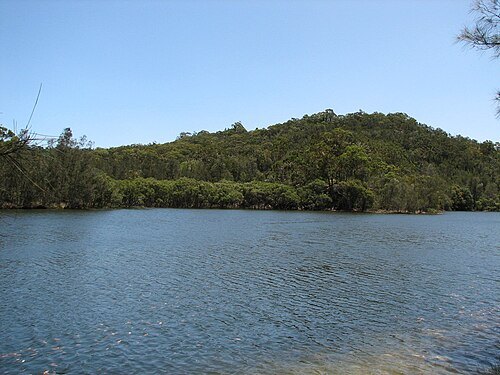
- national park of australia
Lane Cove National Park
National Park in New South Wales, Australia
Getting there Nearest stop or station Macquarie Park, about 16 min on foot OpenStreetMap
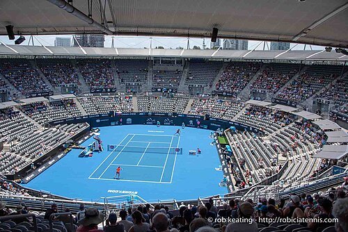
Rob Keating from Canberra, Australia, Australia / CC BY-SA 2.0
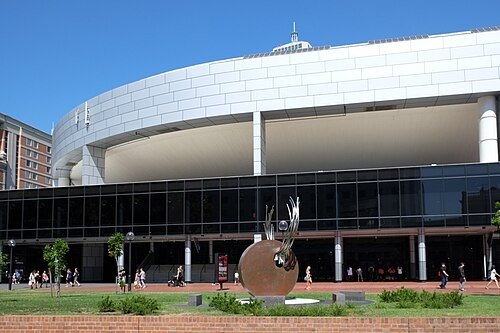
Ben Garrett from London, U.K. / CC BY 2.0
stadiumSydney Entertainment Centre
multi-purpose venue, located in Haymarket, Sydney, Australia
Getting there Nearest stop or station Paddy's Markets, about 2 min on foot OpenStreetMap
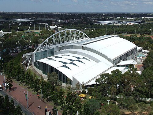
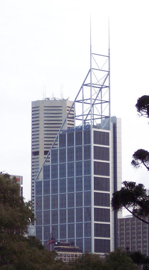 skyscraper
Deutsche Bank Place
skyscraper in Sydney, New South Wales, Australia
Getting there Nearest stop or station Martin Place, about 2 min on foot OpenStreetMap
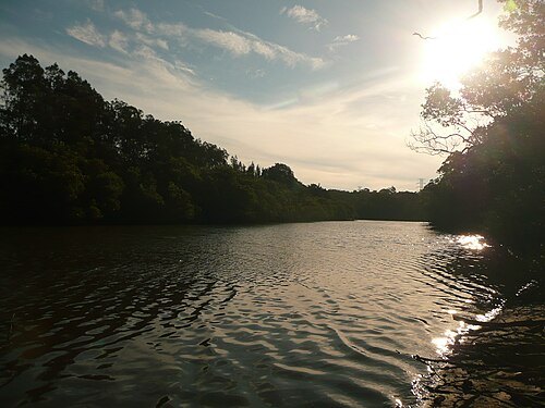
Sardaka (talk) 09:18, 8 November 2010 (UTC) / CC BY 3.0
riverLane Cove River
river in Australia
Getting there Nearest stop or station Clarke Road Wharf, about 4 min on foot OpenStreetMap
- fountain
Archibald Fountain
fountain with sculptures in Hyde Park, Sydney
Getting there Nearest stop or station St James, about 1 min on foot OpenStreetMap
No machine-readable author provided. Eug assumed (based on copyright claims). / CC BY-SA 3.0
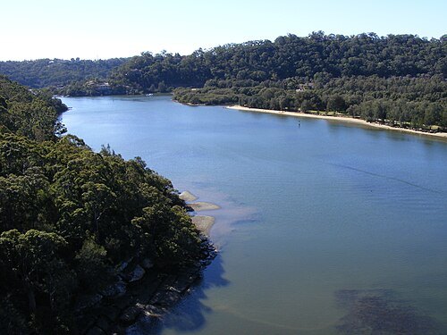 river
Woronora River
river in New South Wales, Australia
Getting there Nearest stop or station Como, about 17 min on foot OpenStreetMap
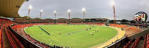
Philip Terry Graham / CC BY 2.0
stadiumSydney Showground Stadium
stadium in Sydney, New South Wales, Australia
Getting there Nearest stop or station Olympic Park, about 7 min on foot OpenStreetMap
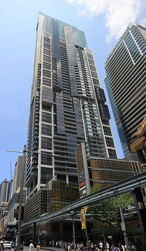 tower block
World Tower
Residential skyscrapter in Sydney, Australia
Getting there Nearest stop or station Chinatown, about 4 min on foot OpenStreetMap
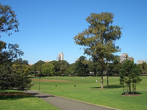 park
The Domain
park in Sydney, Australia
Getting there Nearest stop or station Martin Place, about 6 min on foot OpenStreetMap
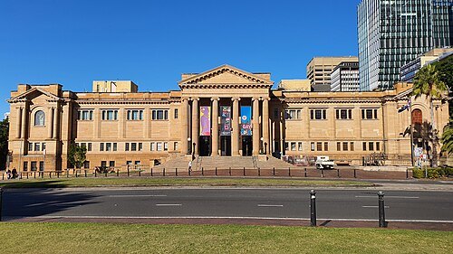 state library
State Library of New South Wales
central library for the state of New South Wales, Australia
Getting there Nearest stop or station Martin Place, about 4 min on foot OpenStreetMap
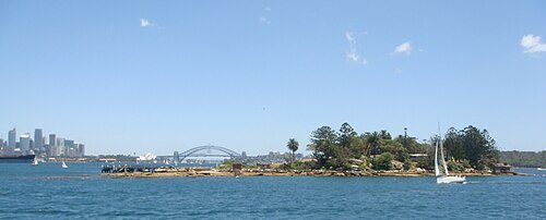
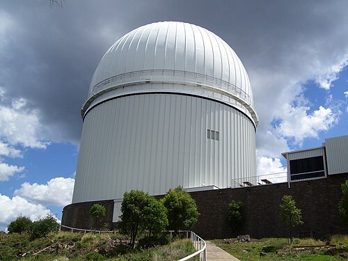
Diceman Stephen West / CC BY-SA 3.0
astronomical observatoryAustralian Astronomical Observatory
optical/near-infrared astronomy observatory with its headquarters in North Ryde in suburban Sydney, Australia
Getting there Nearest stop or station North Ryde, about 11 min on foot OpenStreetMap
- bay
Homebush Bay
bay in Australia
Getting there Nearest stop or station Rhodes, about 9 min on foot OpenStreetMap


Places to eat
- restaurant
Frank's Pizza Bar
Food: pizza
- cafe
Gather on the Green
Food: coffee shop
- cafe
Corduroy Cafe
Food: coffee
Nothing here matches that. Clear a filter and try again.
Opening hours and tickets: OpenStreetMap contributors. Each one shows the day a volunteer last wrote it down, so check the official site before you set out.