Perth: what to see and where to eat
Everything below comes from open data and each row says where it came from. We have not been to any of these places and we do not rank them.
Filters
Things to see
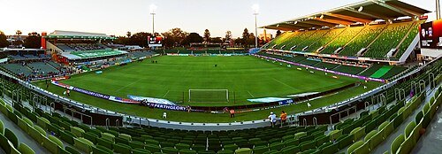 stadium
Perth Rectangular Stadium
stadium in Vincent, Western Australia
Getting there Nearest stop or station Claisebrook, about 7 min on foot OpenStreetMap
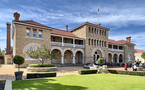
Chris Olszewski / CC BY-SA 4.0
heritage sitePerth Mint
Australia's official bullion mint, situated in Perth, Western Australia
Getting there Nearest stop or station McIver, about 10 min on foot OpenStreetMap
- historical cultural heritage site
Fremantle Prison
former prison in Fremantle, Western Australia
Getting there Nearest stop or station Fremantle Station, about 13 min on foot OpenStreetMap
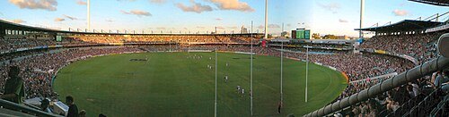
Michael Spencer from Perth, WA, Australia / CC BY 2.0
defunct sports venueSubiaco Oval
former stadium in Perth, Western Australia
Getting there Nearest stop or station West Leederville, about 6 min on foot OpenStreetMap
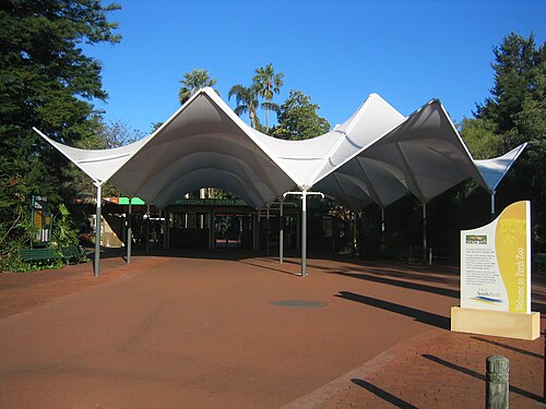 zoo
Perth Zoo
zoo in Perth, Western Australia
Getting there Nearest stop or station Mends Street Jetty, about 9 min on foot OpenStreetMap
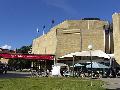
Navid Mavaddat. PharcydeNav at en.wikipedia / CC BY-SA 3.0
art museumArt Gallery of Western Australia
art gallery in Perth, Western Australia
Getting there Nearest stop or station Perth, about 2 min on foot OpenStreetMap
- heritage site
Round House
former gaol and oldest extant building in Fremantle, Western Australia
Getting there Nearest stop or station B Shed, about 6 min on foot OpenStreetMap
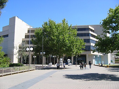
User:Orderinchaos / CC BY-SA 3.0
state libraryState Library of Western Australia
state library in Perth, Western Australia
Getting there Nearest stop or station Perth, about 4 min on foot OpenStreetMap
 catholic cathedral
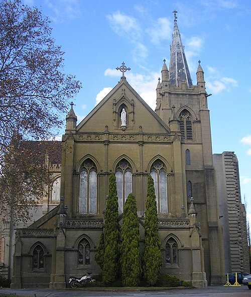
St Mary's Cathedral, Perth
cathedral in Perth, Western Australia
Getting there Nearest stop or station McIver, about 6 min on foot OpenStreetMap
 railway bridge
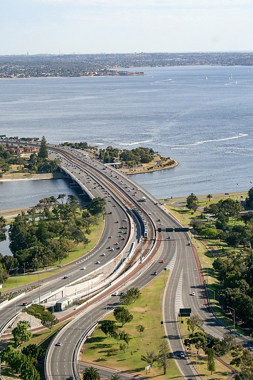
Narrows Bridge
set of bridges in Perth, Western Australia
Getting there Nearest stop or station Elizabeth Quay Bus Station, about 16 min on foot OpenStreetMap
- museum
Western Australian Museum
state museum of Western Australia (statutory authority)
Getting there Nearest stop or station Perth, about 4 min on foot OpenStreetMap
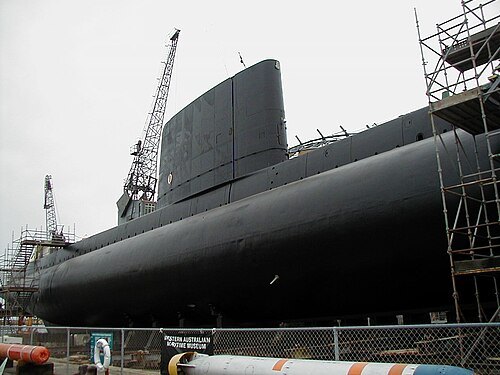 preserved watercraft
HMAS Ovens
1967 Oberon-class submarine
Getting there Nearest stop or station B Shed, about 6 min on foot OpenStreetMap
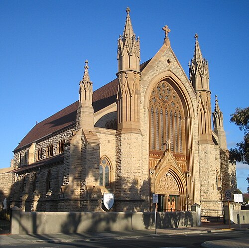 minor basilica
St Patrick's Basilica, Fremantle
heritage listed church in Fremantle, Western Australia
Getting there Nearest stop or station Fremantle Station, about 6 min on foot OpenStreetMap
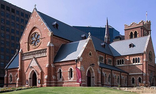 anglican or episcopal cathedral
St George's Cathedral, Perth
church in Perth, Western Australia, Australia
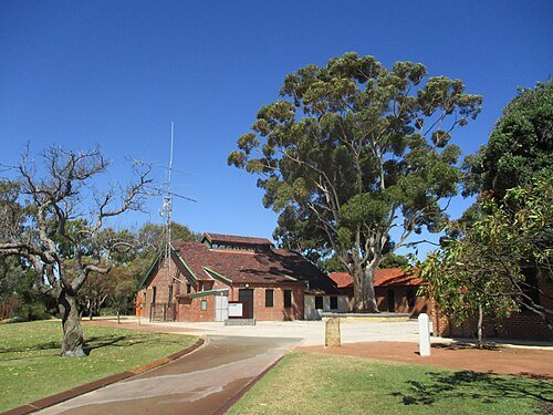 heritage site
Wireless Hill Park
Heritage listed park in Ardross, Western Australia
Getting there Nearest stop or station Booragoon Bus Station, about 18 min on foot OpenStreetMap
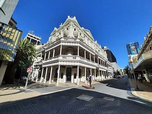 movie theater
His Majesty's Theatre
theatre in Perth, Western Australia
Getting there Nearest stop or station Elizabeth Quay Bus Station, about 6 min on foot OpenStreetMap
- heritage site
Beatty Park
Swimming pool in Perth, Western Australia
Getting there Nearest stop or station Leederville, about 14 min on foot OpenStreetMap
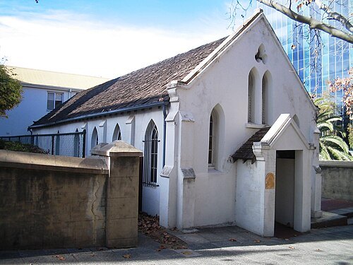 cathedral
St John's Pro-Cathedral
heritage listed cathedral in Perth, Western Australia
Getting there Nearest stop or station McIver, about 8 min on foot OpenStreetMap
- art museum
W D Moore & Co Warehouse
heritage listed building in Fremantle, Western Australia
Getting there Nearest stop or station Sardine Wharf, about 7 min on foot OpenStreetMap
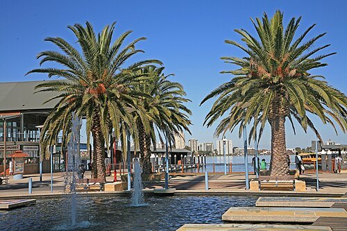 river
Swan River
river in Perth, Western Australia
Getting there Nearest stop or station Northport Rous Head, about 8 min on foot OpenStreetMap
- tower block
Central Park
skyscraper in Perth, Western Australia
Getting there Nearest stop or station Perth Underground, about 5 min on foot OpenStreetMap
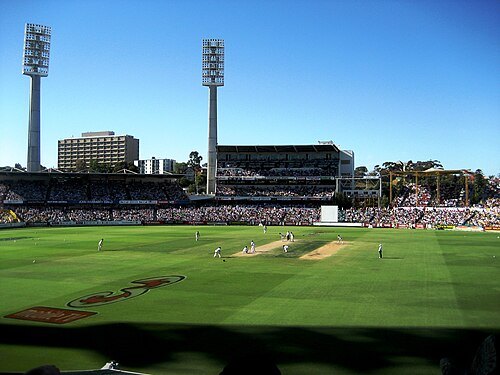
The original uploader was Moondyne at English Wikipedia. / Public domain
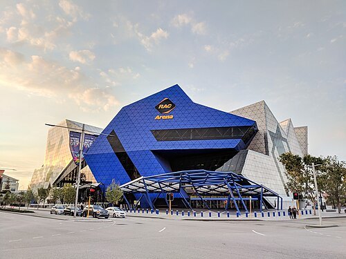 stadium
Perth Arena
stadium in Perth, Western Australia
Getting there Nearest stop or station Perth Busport Zone B, about 7 min on foot OpenStreetMap
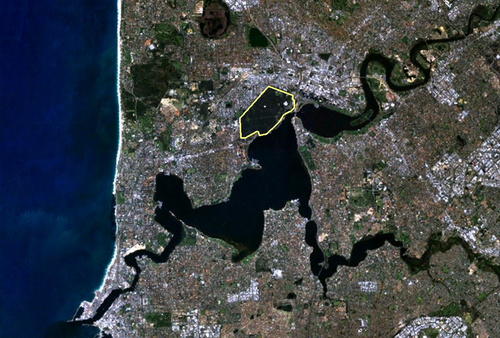
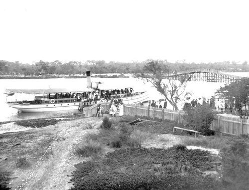 river
Canning River
river in Perth, Western Australia
Getting there Nearest stop or station Canning Bridge, about 19 min on foot OpenStreetMap
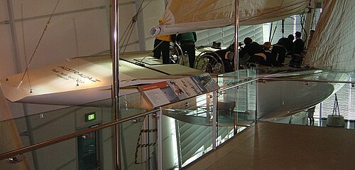 preserved watercraft
Australia II
Australian America's Cup yacht
Getting there Nearest stop or station Perth, about 4 min on foot OpenStreetMap
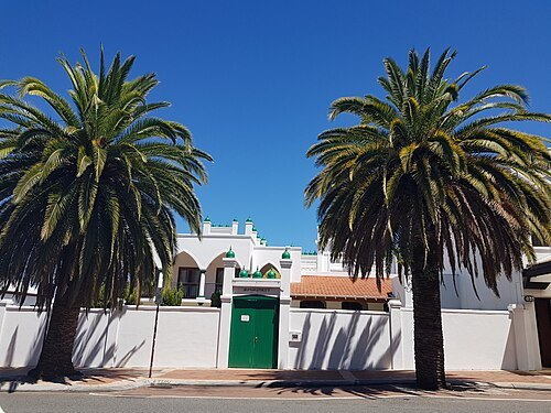 mosque
Perth Mosque
mosque in Perth, Western Australia
Getting there Nearest stop or station Perth Busport Zone A, about 14 min on foot OpenStreetMap
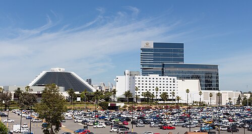 resort
Crown Perth
resort and casino in Burswood, Western Australia
Getting there Nearest stop or station Burswood, about 7 min on foot OpenStreetMap
- river
Helena River
river in Western Australia
Getting there Nearest stop or station Midland, about 14 min on foot OpenStreetMap
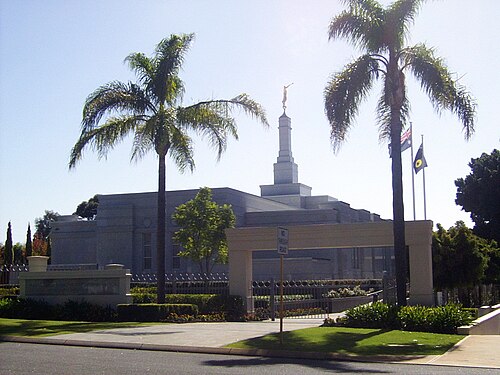 temple
Perth Australia Temple
temple of Church of Jesus Christ of Latter-day Saints in Perth, Western Australia
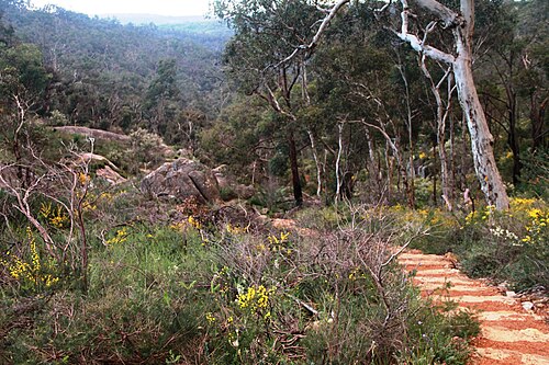
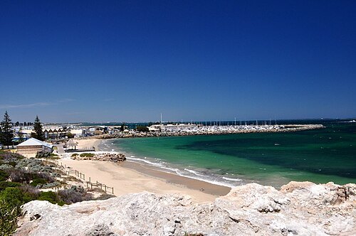 beach
Bathers Beach
beach in Fremantle, Western Australia
Getting there Nearest stop or station B Shed, about 9 min on foot OpenStreetMap
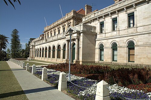 parliament of an australian state or territory
Parliament of Western Australia
Legislative body of the Australian state of Western Australia
Getting there Nearest stop or station City West, about 12 min on foot OpenStreetMap
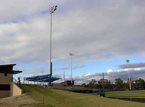 sports venue
Empire Ballpark
baseball park in Perth, Western Australia
Getting there Nearest stop or station Nicholson Road, about 6 min on foot OpenStreetMap
- park
Mueller Park
park in Perth, Western Australia
Getting there Nearest stop or station West Leederville, about 4 min on foot OpenStreetMap
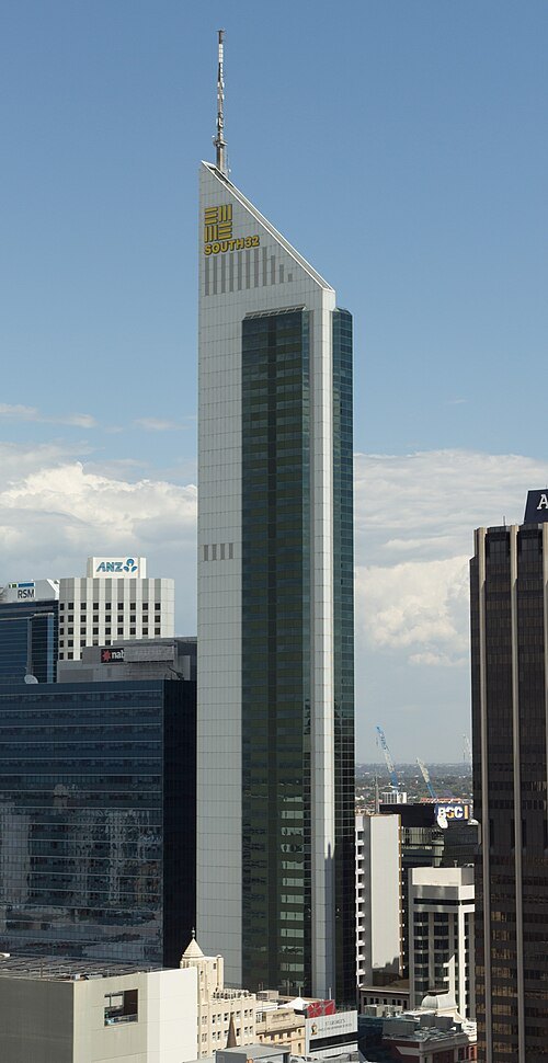 tower block
108 St Georges Terrace
50 story skyscraper in St Georges Tce, Perth, Western Australia
Getting there Nearest stop or station Perth Underground, about 5 min on foot OpenStreetMap
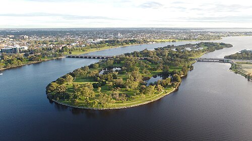 artificial island
Heirisson Island
chain of islands in Swan River, Western Australia, later filled to make one
Getting there Nearest stop or station Causeway Bus Station, about 12 min on foot OpenStreetMap
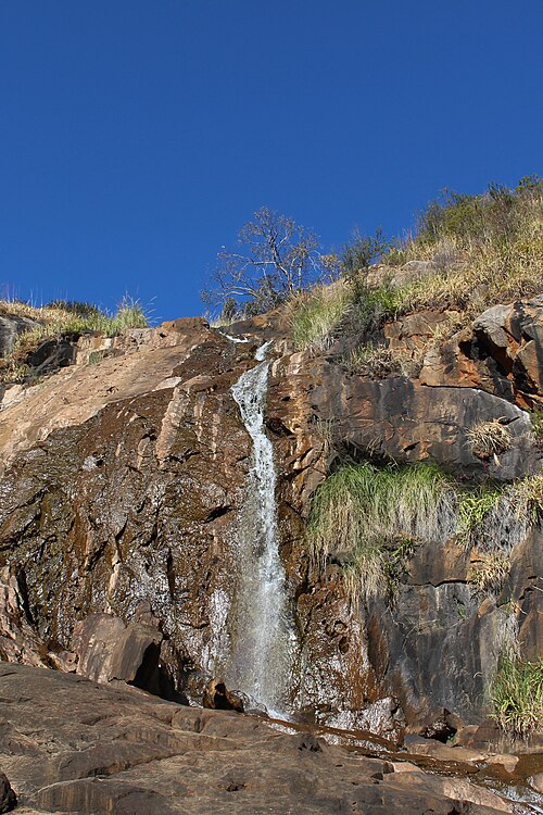
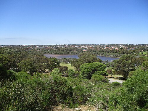
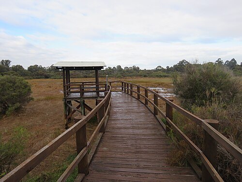 lake
Booragoon Lake
lake in Booragoon, Western Australia
Getting there Nearest stop or station Booragoon Bus Station, about 17 min on foot OpenStreetMap
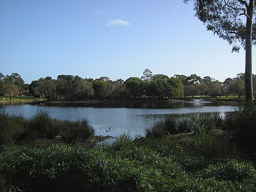
Commander Keane / CC BY-SA 3.0
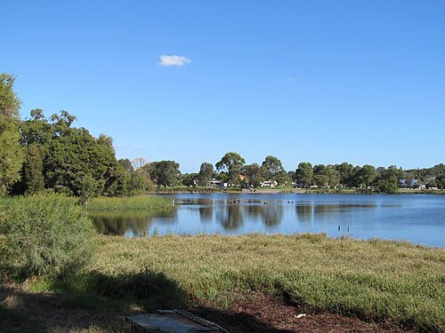
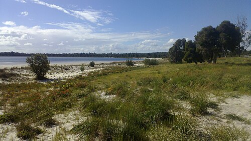
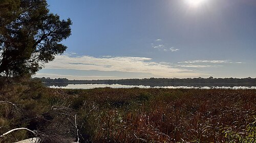
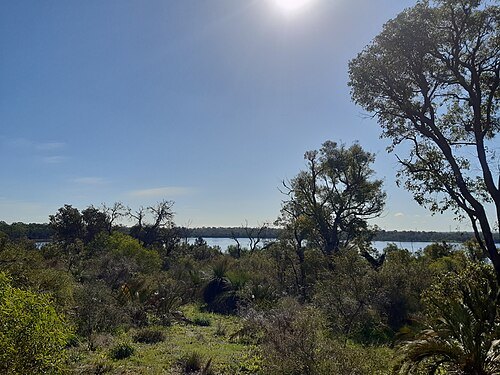
lakeJualbup Lake
lake in Perth. Western Australia
Getting there Nearest stop or station Shenton Park, about 10 min on foot OpenStreetMap
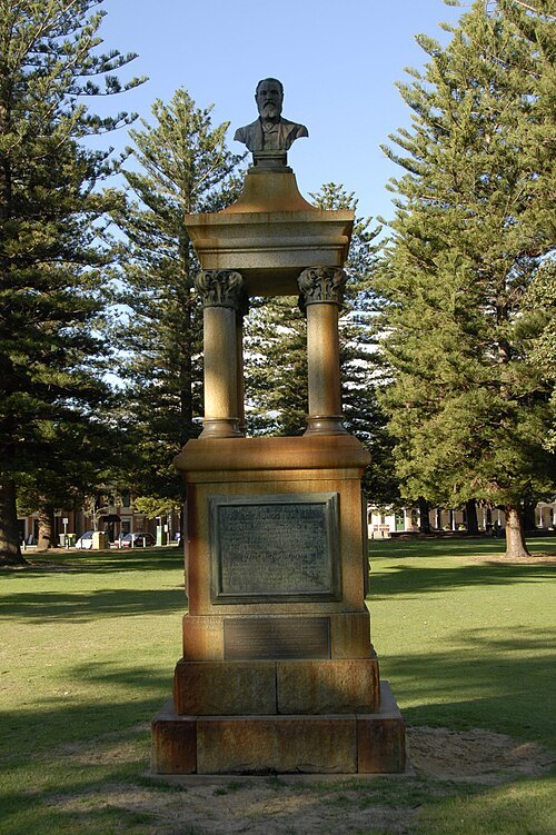 memorial
Maitland Brown Memorial
monument in Fremantle, Western Australia
Getting there Nearest stop or station Sardine Wharf, about 6 min on foot OpenStreetMap
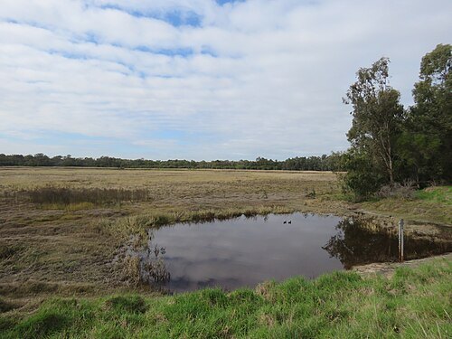
- lake
Lake Claremont
lake in Western Australia
- hill
Cantonment Hill
hill in Fremantle, Western Australia
Getting there Nearest stop or station Fremantle Passenger Terminal, about 13 min on foot OpenStreetMap
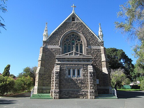
User:Orderinchaos / CC BY-SA 3.0
church buildingSt Mary Star of the Sea
church in Western Australia, Australia
Getting there Nearest stop or station Cottesloe, about 8 min on foot OpenStreetMap


Places to eat
- cafe
La Maison Des Eclairs Cafe
Food: french
- restaurant
Rolls at 996
Food: vietnamese
- restaurant
Sushiken22
Food: sushi
- restaurant
Bam Bam Boo
Food: chinese
Nothing here matches that. Clear a filter and try again.
Opening hours and tickets: OpenStreetMap contributors. Each one shows the day a volunteer last wrote it down, so check the official site before you set out.