Melbourne: what to see and where to eat
Everything below comes from open data and each row says where it came from. We have not been to any of these places and we do not rank them.
Filters
Things to see
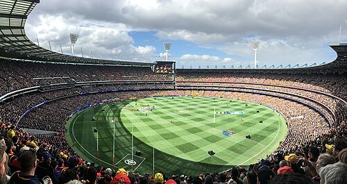 historical cultural heritage site
Melbourne Cricket Ground
Sports stadium in Melbourne, Victoria, Australia
Getting there Nearest stop or station Jolimont, about 6 min on foot OpenStreetMap
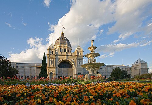
Photograph taken by Diliff and straightened by Ian Fieggen / CC BY 2.5
exhibition parkRoyal Exhibition Building
heritage building in Melbourne, Victoria, Australia
Getting there Nearest stop or station Parliament, about 11 min on foot OpenStreetMap
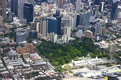 botanical garden
Carlton Gardens
garden in Melbourne, Victoria, Australia
Getting there Nearest stop or station Parliament, about 9 min on foot OpenStreetMap
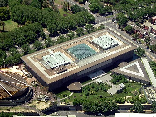
Lakeyboy at English Wikipedia / Public domain
national museumNational Gallery of Victoria
art museum in Melbourne, Australia
Getting there Nearest stop or station Berth 2, about 6 min on foot OpenStreetMap
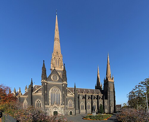 minor basilica
St Patrick's Cathedral
cathedral in Melbourne, Victoria, Australia
Getting there Nearest stop or station Parliament, about 4 min on foot OpenStreetMap
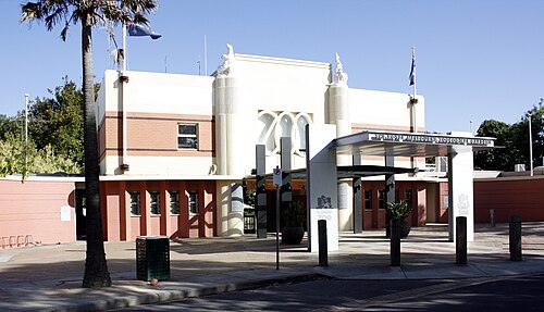
Commander Keane / CC BY-SA 3.0
zooMelbourne Zoo
zoo in Melbourne, Victoria, Australia
Getting there Nearest stop or station Royal Park, about 6 min on foot OpenStreetMap
- museum
Melbourne Museum
museum in Victoria, Australia
Getting there Nearest stop or station Parliament, about 13 min on foot OpenStreetMap
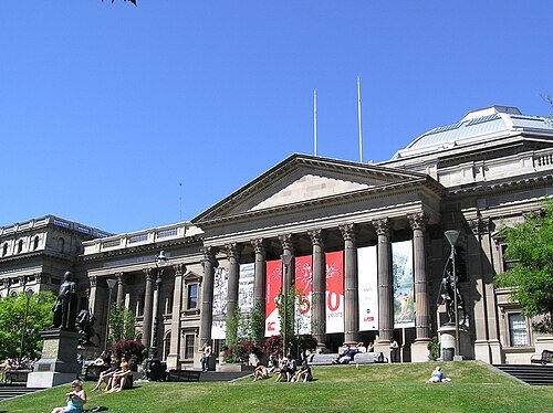 state library
State Library Victoria
central library for the state of Victoria, Australia
Getting there Nearest stop or station Melbourne Central, about 3 min on foot OpenStreetMap
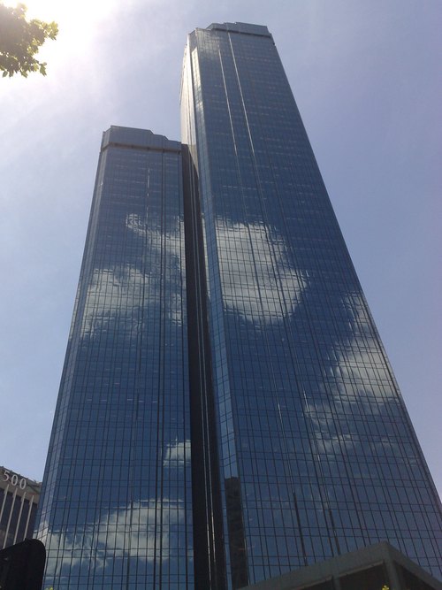 skyscraper
Rialto Towers
office towers in Melbourne, Australia
Getting there Nearest stop or station Crown Landing, about 7 min on foot OpenStreetMap
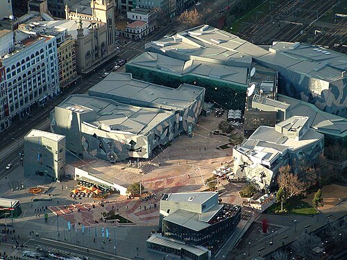
AussieNickuss at en.wikipedia / Public domain
venueFederation Square
public square in Melbourne, Victoria, Australia
Getting there Nearest stop or station Berth 2, about 2 min on foot OpenStreetMap
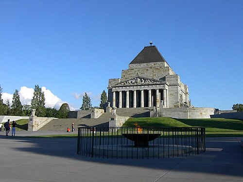
Adam Carr at English Wikipedia / Public domain
war memorialShrine of Remembrance
memorial located in Kings Domain on St Kilda Road, Melbourne, Australia
Getting there Nearest stop or station Anzac, about 5 min on foot OpenStreetMap
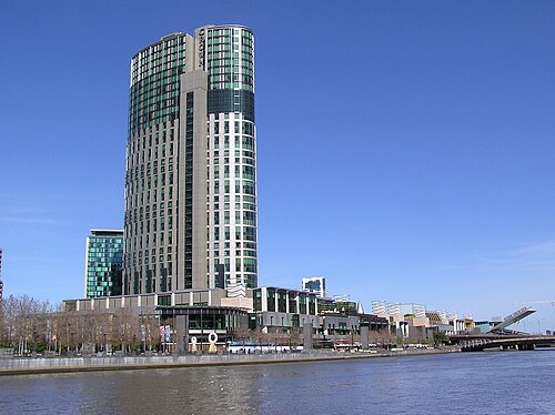 resort
Crown Melbourne
casino and resort in Melbourne, Australia
Getting there Nearest stop or station Crown Landing, about 4 min on foot OpenStreetMap
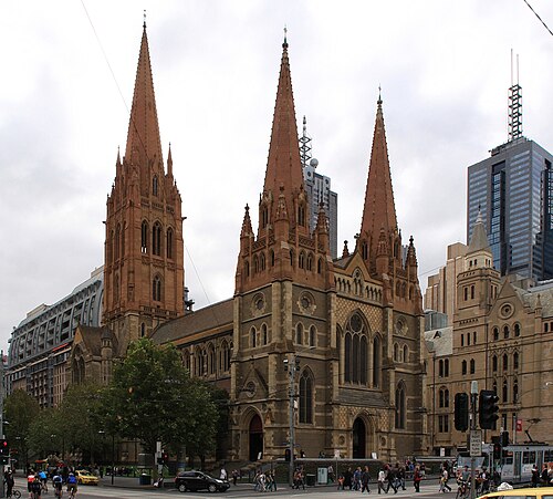 anglican or episcopal cathedral
St Paul's Cathedral
cathedral in Melbourne, Victoria, Australia
Getting there Nearest stop or station Town Hall, about 1 min on foot OpenStreetMap
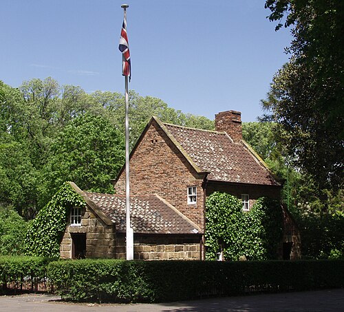
CloudSurfer at English Wikipedia / CC BY-SA 3.0
historic house museumCooks' Cottage
cottage museum in Melbourne
Getting there Nearest stop or station Jolimont, about 7 min on foot OpenStreetMap
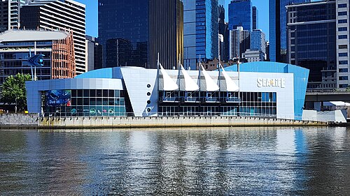 public aquarium
Melbourne Aquarium
aquarium in Melbourne, Australia
Getting there Nearest stop or station Crown Landing, about 4 min on foot OpenStreetMap
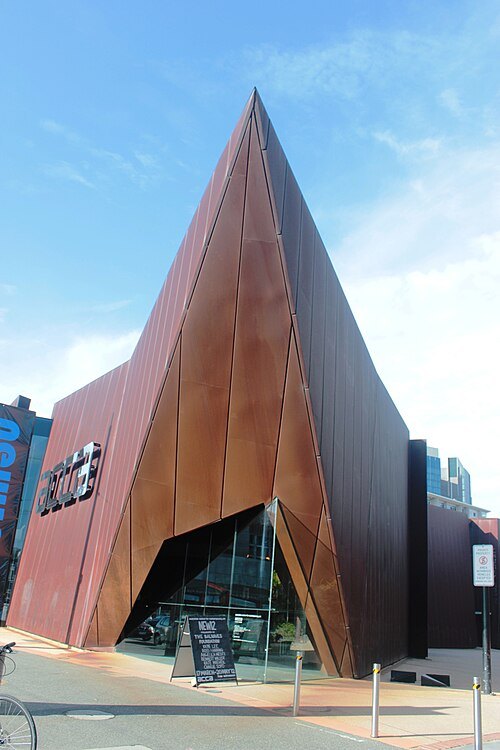 art gallery
Australian Centre for Contemporary Art
art gallery
Getting there Nearest stop or station Southgate Landing - Berth 1, about 12 min on foot OpenStreetMap
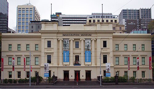 migration museum
Immigration Museum
museum in Melbourne, Victoria, Australia
Getting there Nearest stop or station Southgate Landing - Berth 1, about 7 min on foot OpenStreetMap
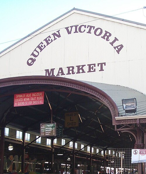 market
Queen Victoria Market
open-air market in Melbourne, Victoria, Australia
Getting there Nearest stop or station State Library, about 9 min on foot OpenStreetMap
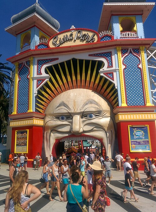
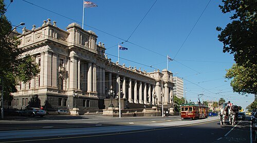
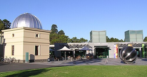 astronomical observatory
Melbourne Observatory
astronomical observatory in Melbourne, Australia
Getting there Nearest stop or station Anzac, about 7 min on foot OpenStreetMap
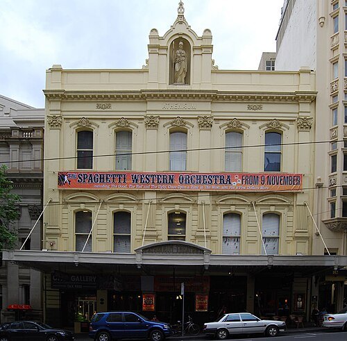 movie theater
Melbourne Athenaeum
theatre in Melbourne, Victoria, Australia
Getting there Nearest stop or station Town Hall, about 3 min on foot OpenStreetMap
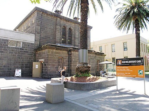
Charlie Brewer from Sydney, Australia / CC BY-SA 2.0
museumOld Melbourne Gaol
former jail in Melbourne, Victoria, Australia and now a tourist attraction
Getting there Nearest stop or station State Library, about 3 min on foot OpenStreetMap
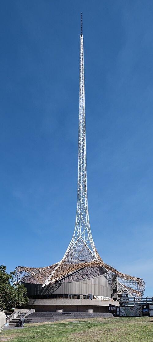 performing arts center
Arts Centre Melbourne
performing arts centre in Melbourne
Getting there Nearest stop or station Berth 2, about 3 min on foot OpenStreetMap
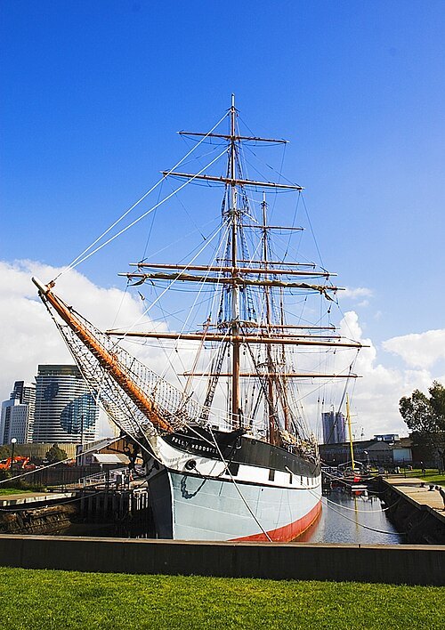
Mfunnell at English Wikipedia / CC BY-SA 3.0
preserved watercraftPolly Woodside
three-masted, iron-hulled barque preserved as a museum ship in Melbourne, Australia
Getting there Nearest stop or station Crown Landing, about 7 min on foot OpenStreetMap
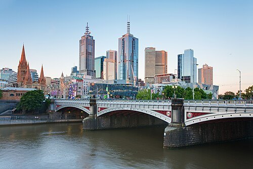 tram bridge
Princes Bridge
road and tram bridge in Melbourne, Victoria, Australia
Getting there Nearest stop or station Berth 2, about 1 min on foot OpenStreetMap
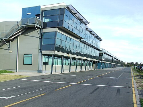
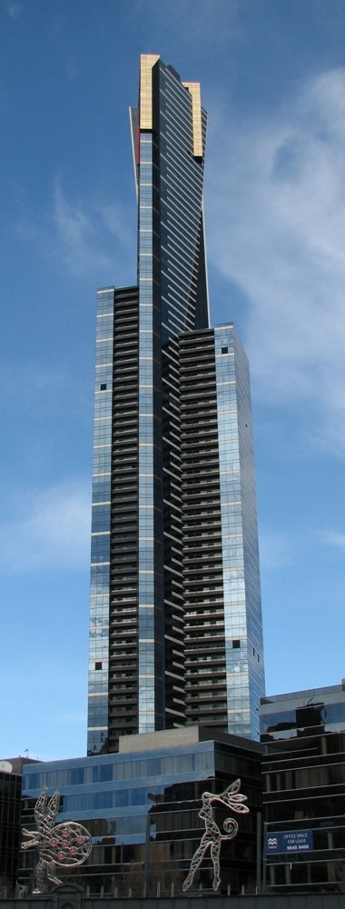 tower block
Eureka Tower
skyscraper in Melbourne, Victoria, Australia
Getting there Nearest stop or station Southgate Landing - Berth 1, about 3 min on foot OpenStreetMap
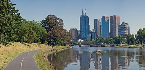
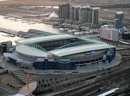
Joe.Bekker at English Wikipedia / CC BY-SA 3.0
multi-purpose stadiumDocklands Stadium
Multi-purpose stadium in Melbourne, Victoria, Australia
Getting there Nearest stop or station Port Phillip Ferries Docklands Terminal, about 3 min on foot OpenStreetMap
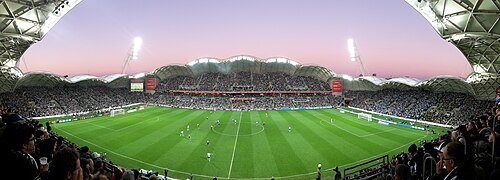 stadium
Melbourne Rectangular Stadium
association football stadium in Melbourne
Getting there Nearest stop or station Richmond, about 8 min on foot OpenStreetMap
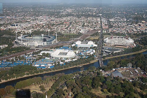 sports venue
Melbourne Park
sporting complex in Melbourne, Victoria, Australia
Getting there Nearest stop or station Jolimont, about 12 min on foot OpenStreetMap
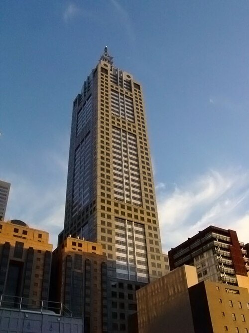
Canley at English Wikipedia / CC BY-SA 3.0
skyscraper120 Collins Street
Skyscraper in Melbourne, Australia
Getting there Nearest stop or station Town Hall, about 6 min on foot OpenStreetMap
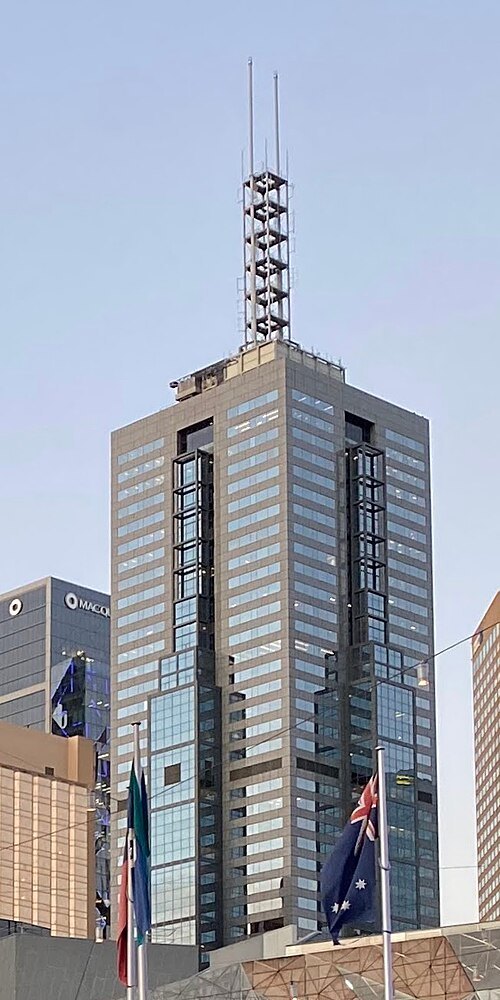 skyscraper
101 Collins Street
Skyscraper in Melbourne, Australia
Getting there Nearest stop or station Town Hall, about 6 min on foot OpenStreetMap
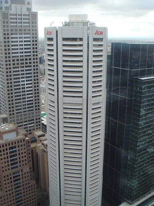 skyscraper
Nauru House
office building in Melbourne, Australia
Getting there Nearest stop or station Parliament, about 5 min on foot OpenStreetMap
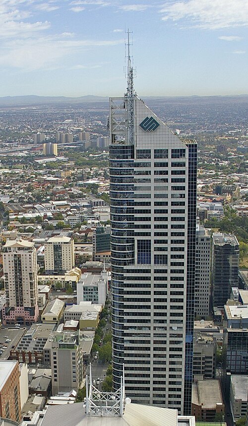 tower block
Bourke Place
tower block
Getting there Nearest stop or station Southern Cross Coach Terminal, about 5 min on foot OpenStreetMap
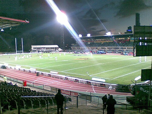
Sliat 1981 (talk) / Public domain
association football venueOlympic Park Stadium
sports stadium in Melbourne (demolished in 2012)
Getting there Nearest stop or station Richmond, about 11 min on foot OpenStreetMap
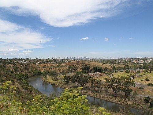
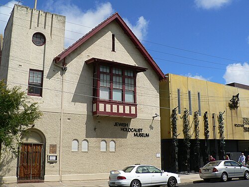
Biatch at en.wikipedia / Public domain
holocaust museumJewish Holocaust Museum and Research Centre
holocaust museum in Melbourne, Australia
Getting there Nearest stop or station Elsternwick, about 3 min on foot OpenStreetMap
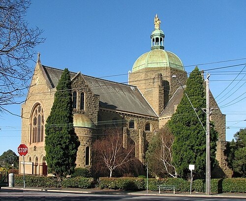
Melburnian (shifted by Rabanus Flavus) / CC BY-SA 3.0
minor basilicaOur Lady of Victories Basilica
church building in Victoria, Australia
Getting there Nearest stop or station Camberwell, about 13 min on foot OpenStreetMap
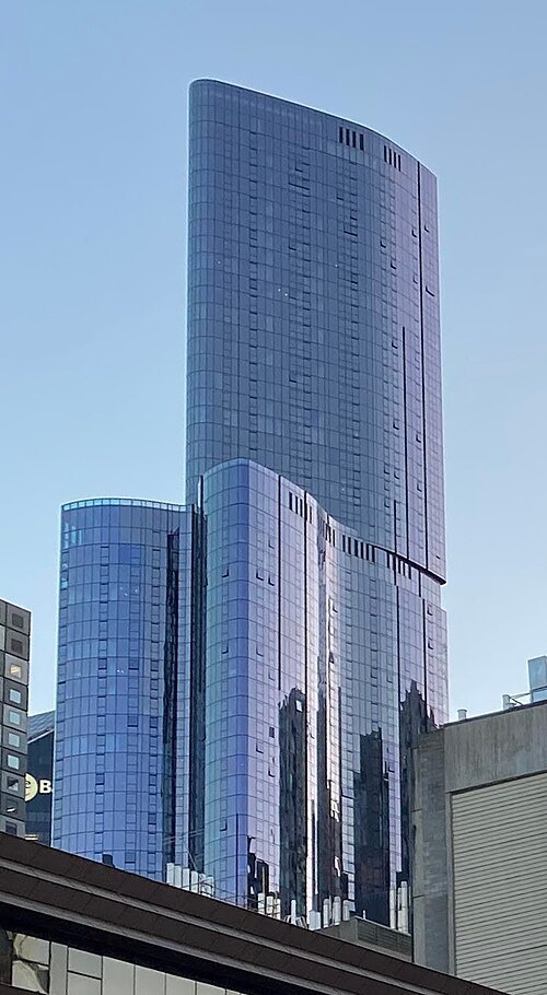
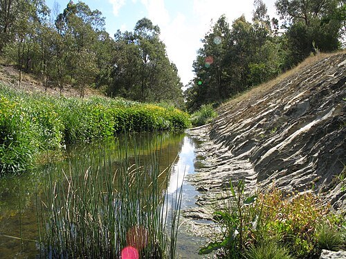
Nick carson at English Wikipedia / CC BY 3.0
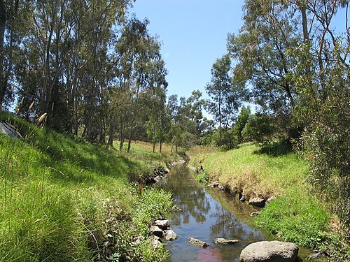
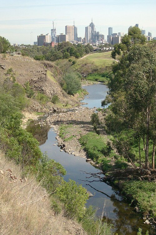
riverKoonung Creek
river in Victoria, Australia
Getting there Nearest stop or station Doncaster Park & Ride, about 4 min on foot OpenStreetMap
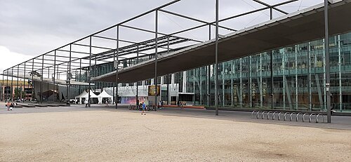 museum
Museums Victoria
museum operator in Victoria, Australia
Getting there Nearest stop or station Parliament, about 13 min on foot OpenStreetMap
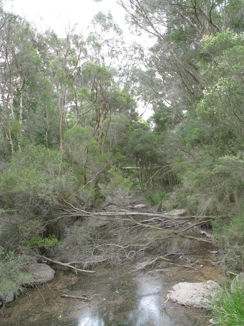
Nick carson at English Wikipedia / Public domain
riverGardiners Creek
river in Australia
Getting there Nearest stop or station Kooyong, about 11 min on foot OpenStreetMap
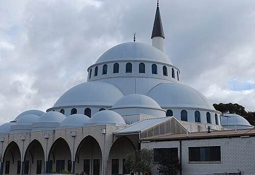 mosque
Sunshine Mosque
mosque in Australia
Getting there Nearest stop or station Ardeer, about 19 min on foot OpenStreetMap
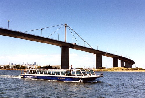
Thad Roan from Littleton, CO, USA, http://www.Bridgepix.com / CC BY-SA 2.0
road bridgeWest Gate Bridge
bridge over the Yarra River in Melbourne, Australia
Getting there Nearest stop or station Spotswood, about 17 min on foot OpenStreetMap
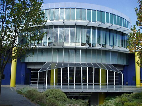 science museum
Scienceworks
science museum in Melbourne, Australia
Getting there Nearest stop or station Spotswood, about 11 min on foot OpenStreetMap
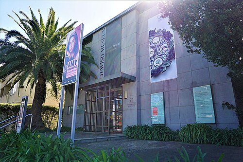 jewish museum
Jewish Museum of Australia
Jewish museum in Melbourne, Australia
Getting there Nearest stop or station Windsor, about 11 min on foot OpenStreetMap


Places to eat
- restaurant
Copper Chimney
Food: indian
- restaurant
Dragon Hot Pot
Food: chinese
- restaurant
Kedai Satay
Food: indonesian
- restaurant
Shanghai Street Xiaolongbao And Dumpling
Food: dumplings
- restaurant
Don Don
Food: japanese
- restaurant
Mini Hot Pot
Food: chinese
Nothing here matches that. Clear a filter and try again.
Opening hours and tickets: OpenStreetMap contributors. Each one shows the day a volunteer last wrote it down, so check the official site before you set out.