Gosford: what to see and where to eat
Everything below comes from open data and each row says where it came from. We have not been to any of these places and we do not rank them.
Filters
Things to see
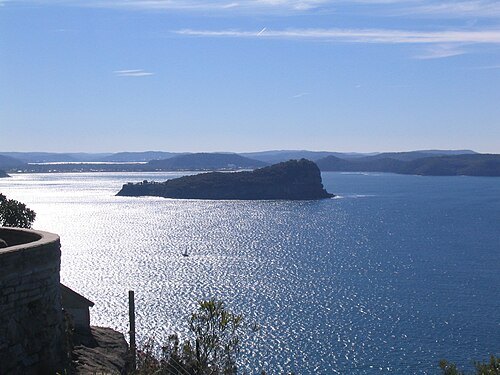
Photographer and uploader was John Dalton at en.wikipedia / CC BY-SA 3.0
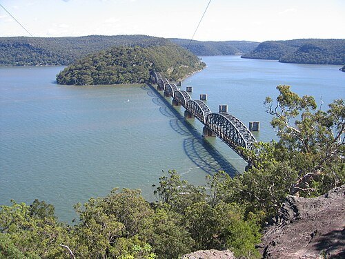
Tim Stewart --Daramulan 05:15, 1 August 2006 (UTC) / CC BY-SA 3.0
railway bridgeHawkesbury River Railway Bridge
railway bridge in Australia
Getting there Nearest stop or station Dangar Island Wharf, about 19 min on foot OpenStreetMap
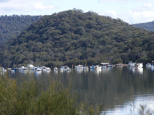 river island
Long Island
elongated island of 73 hectares in the Hawkesbury River, about 50 km north of Sydney, New South Wales, Australia
Getting there Nearest stop or station Hawkesbury River, about 14 min on foot OpenStreetMap
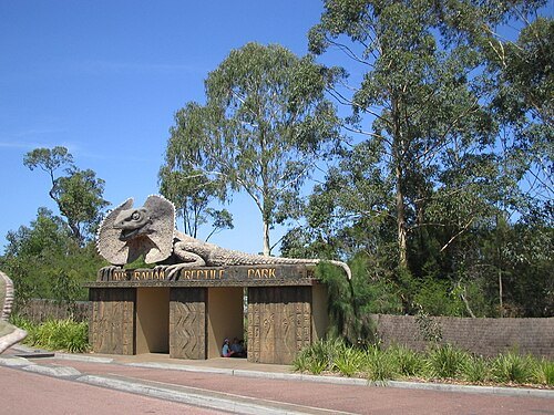
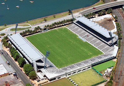
Unknown (Ownership of copyright Central Coast Mariners Football Club) / CC BY-SA 3.0
multi-purpose stadiumCentral Coast Stadium
sports venue in Gosford, on the Central Coast of New South Wales, Australia
Getting there Nearest stop or station Gosford, about 10 min on foot OpenStreetMap
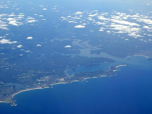
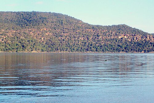
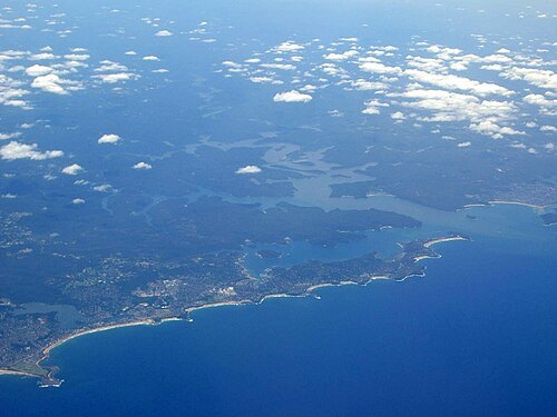
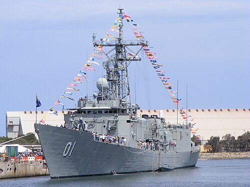
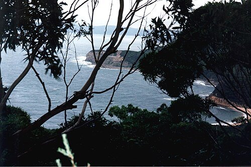
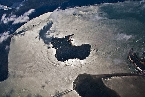
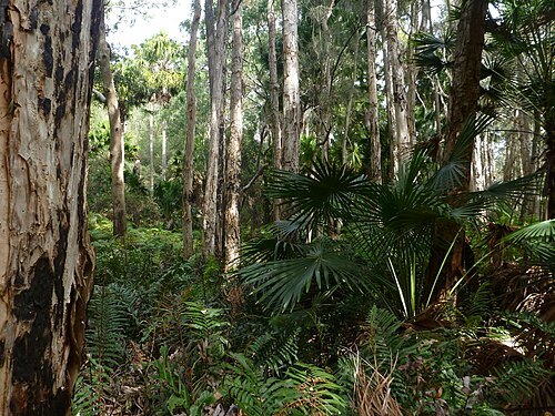
Doug Beckers from Macmasters Beach, Australia / CC BY-SA 2.0
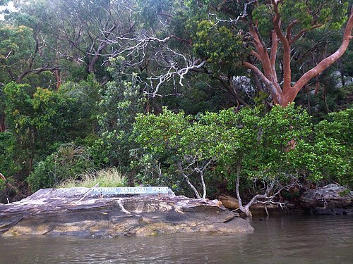
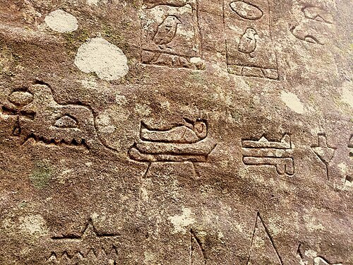
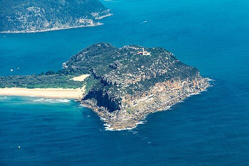 peninsula
Barrenjoey Head
- river island
Milson Island
Island in New South Wales, Australia
Getting there Nearest stop or station Milson's Passage Public Wharf, about 4 min on foot OpenStreetMap
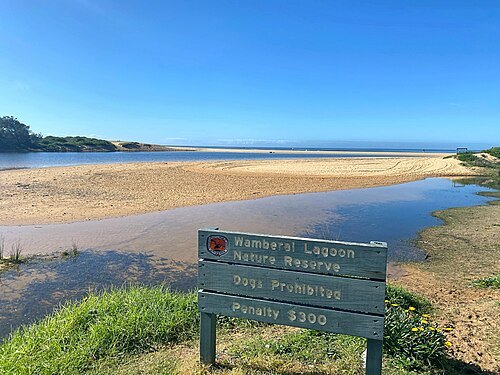
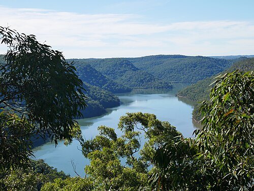
- park
Kibble Park
park in Gosford, New South Wales, Australia
Getting there Nearest stop or station Gosford, about 18 min on foot OpenStreetMap
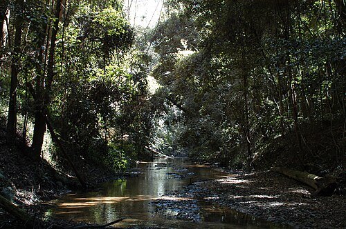
- beach
Shelly Beach


Places to eat
Nothing here matches that. Clear a filter and try again.
Opening hours and tickets: OpenStreetMap contributors. Each one shows the day a volunteer last wrote it down, so check the official site before you set out.