Brisbane: what to see and where to eat
Everything below comes from open data and each row says where it came from. We have not been to any of these places and we do not rank them.
Filters
Things to see
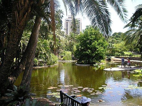
No machine-readable author provided. Lacrimosus assumed (based on copyright claims). / Public domain
botanical gardenCity Botanic Gardens
botanical gardens in Brisbane, Australia
Getting there Nearest stop or station QUT Gardens Point, about 9 min on foot OpenStreetMap
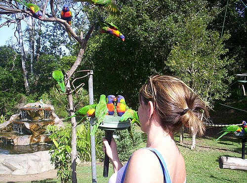
Figaro at English Wikipedia / Public domain
zooLone Pine Koala Sanctuary
zoo in Brisbane, Australia
Getting there Nearest stop or station Sherwood, about 16 min on foot OpenStreetMap
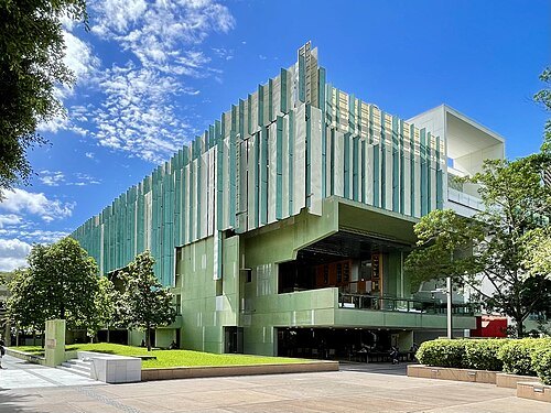
Chris Olszewski / CC BY-SA 4.0
state libraryState Library of Queensland
main research and reference library in Queensland
Getting there Nearest stop or station Cultural Centre, about 2 min on foot OpenStreetMap
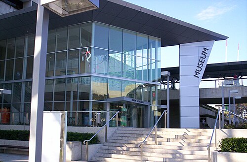 museum
Queensland Museum
state museum of Queensland, Australia
Getting there Nearest stop or station Cultural Centre, about 2 min on foot OpenStreetMap
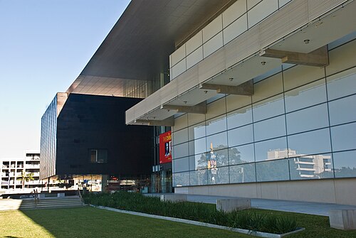 art museum
Gallery of Modern Art
art museum in Brisbane, Queensland, Australia
Getting there Nearest stop or station Cultural Centre, about 4 min on foot OpenStreetMap
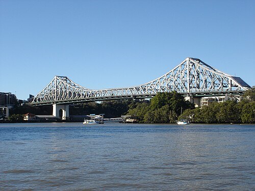 cantilever bridge
Story Bridge
heritage-listed bridge in Brisbane, Australia
Getting there Nearest stop or station Howard Smith Wharves, about 3 min on foot OpenStreetMap
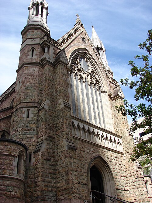
Masalai at English Wikipedia / Public domain
cathedralCathedral of St Stephen, Brisbane
cathedral
Getting there Nearest stop or station Riverside, about 5 min on foot OpenStreetMap
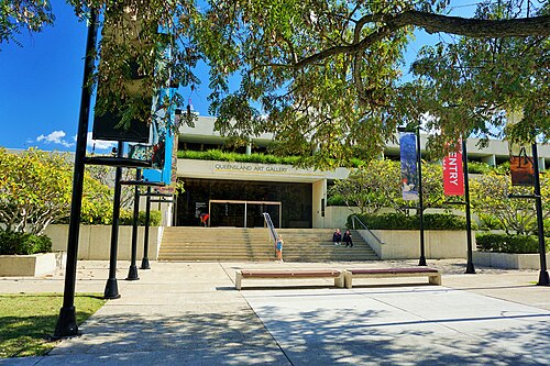
GordonMakryllos / CC BY-SA 4.0
art museumQueensland Art Gallery
art museum in Brisbane, Queensland, Australia
Getting there Nearest stop or station Cultural Centre, about 2 min on foot OpenStreetMap
- parliament building
Parliament House, State of Queensland
House of Parliament for State of Queensland, Australia. Opened 4th August 1868
Getting there Nearest stop or station QUT Gardens Point, about 6 min on foot OpenStreetMap
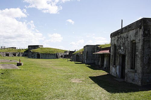
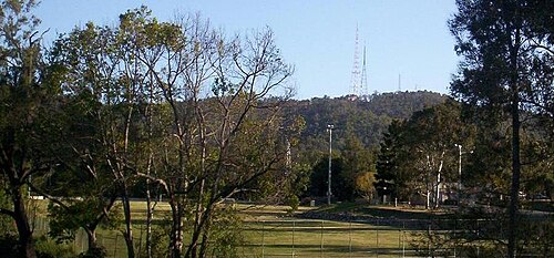
Figaro at English Wikipedia / Public domain
botanical gardenBrisbane Botanic Gardens, Mount Coot-tha
botanical garden in Mount Coot-tha, Queensland
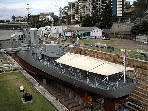 preserved watercraft
HMAS Diamantina
1944 River-class frigate
Getting there Nearest stop or station Maritime Museum, about 3 min on foot OpenStreetMap
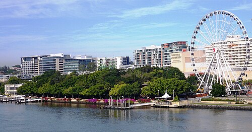
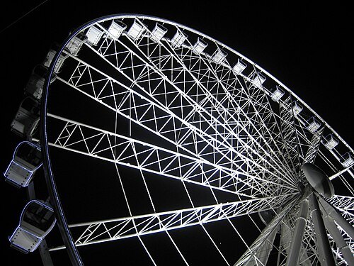 ferris wheel
Wheel of Brisbane
Ferris wheel in Brisbane, Australia
Getting there Nearest stop or station South Bank, about 2 min on foot OpenStreetMap
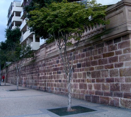
Gene Poole at English Wikipedia / CC BY-SA 3.0
cathedralHoly Name Cathedral, Brisbane
Roman Catholic church in Queensland, Australia
Getting there Nearest stop or station Brisbane Central, about 6 min on foot OpenStreetMap
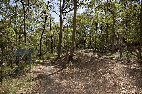
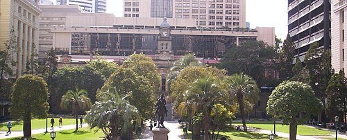
Figaro at en.wikipedia / Public domain
squareANZAC Square
public square in Brisbane, Australia
Getting there Nearest stop or station Brisbane Central, about 2 min on foot OpenStreetMap
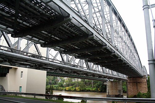
Paulguard at English Wikipedia / Public domain
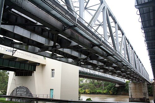
railway bridgeAlbert Bridge, Brisbane
bridge in Australia
Getting there Nearest stop or station Indooroopilly, about 6 min on foot OpenStreetMap
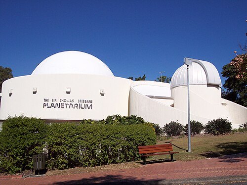
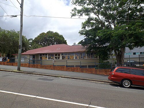 historic site
Diamantina Health Care Museum
historic site in Queensland, Australia
Getting there Nearest stop or station PA Hospital station, about 6 min on foot OpenStreetMap
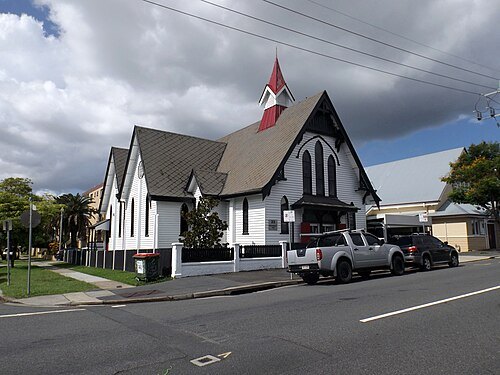 historic site
Mowbraytown Presbyterian Church
church in Brisbane, Queensland, Australia
Getting there Nearest stop or station Mowbray Park, about 10 min on foot OpenStreetMap
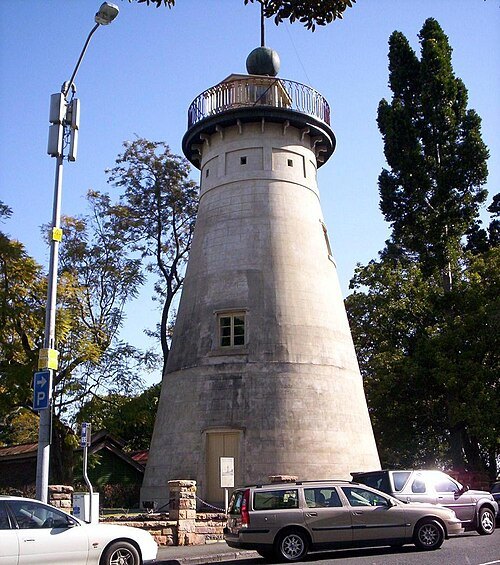
Figaro at English Wikipedia / Public domain
tower millThe Old Windmill
heritage tower mill in Brisbane, Australia
Getting there Nearest stop or station Brisbane Central, about 4 min on foot OpenStreetMap
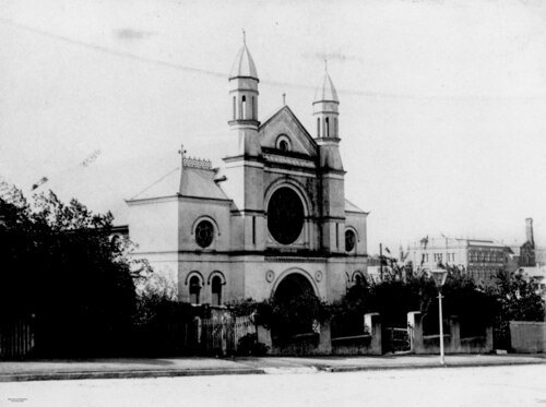
Unknown authorUnknown author / Public domain
historic siteBrisbane Synagogue
building in Brisbane
Getting there Nearest stop or station Queen Street bus station, about 6 min on foot OpenStreetMap
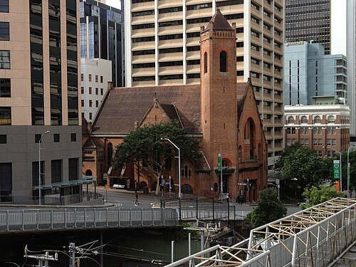
Chris Olszewski / CC BY-SA 3.0
church buildingSt. Andrew's Uniting Church, Brisbane
church building in Queensland, Australia
Getting there Nearest stop or station Brisbane Central, about 2 min on foot OpenStreetMap
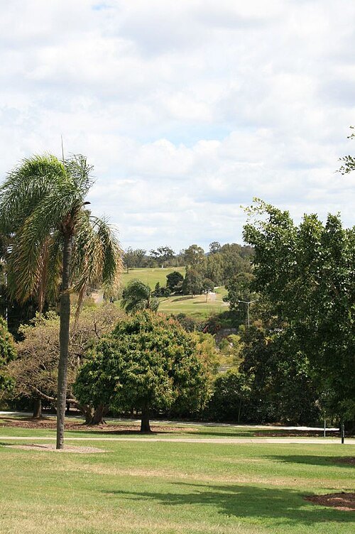
Heritage branch staff / CC BY 3.0
parkVictoria Park, Brisbane
Heritage listed park in Queensland, Australia
Getting there Nearest stop or station Exhibition, about 12 min on foot OpenStreetMap
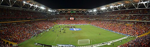 multi-purpose stadium
Lang Park
multi-purpose stadium in Brisbane, Queensland
Getting there Nearest stop or station Milton, about 10 min on foot OpenStreetMap
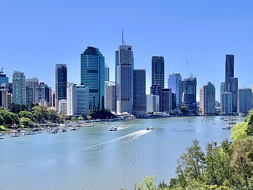
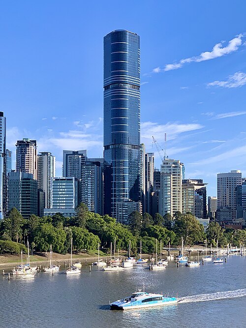
Chris Olszewski / CC BY-SA 4.0
skyscraperBrisbane Skytower
skyscraper in Brisbane, Queensland, Australia
Getting there Nearest stop or station Queen Street bus station, about 7 min on foot OpenStreetMap
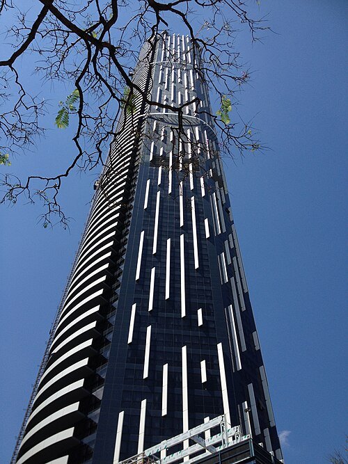
Chris Olszewski / CC BY-SA 3.0
skyscraperInfinity Tower
skyscraper in brisbane
Getting there Nearest stop or station Roma Street busway station, about 3 min on foot OpenStreetMap
- rugby union venue
Ballymore Stadium
multifunctional Australian stadium in Brisbane
Getting there Nearest stop or station Wilston, about 10 min on foot OpenStreetMap
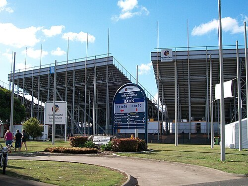
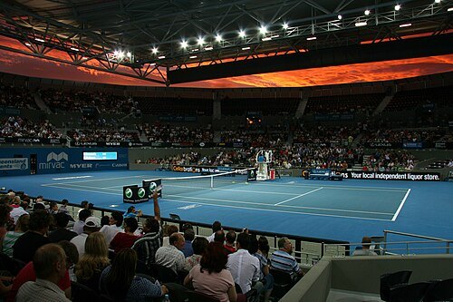 sports venue
Queensland Tennis Centre
tennis stadium in Brisbane, Australia
Getting there Nearest stop or station Yeerongpilly, about 11 min on foot OpenStreetMap
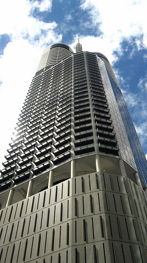
Skyscraper297 (talk) / CC BY-SA 3.0
skyscraperRiparian Plaza
Skyscraper in Brisbane, Australia
Getting there Nearest stop or station Riverside, about 3 min on foot OpenStreetMap
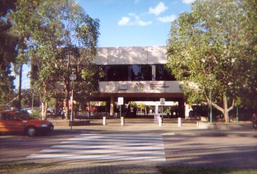
Figaro at en.wikipedia / Public domain
event venueBrisbane Entertainment Centre
multi-purpose arena located in the Brisbane, Australia
Getting there Nearest stop or station Boondall, about 9 min on foot OpenStreetMap
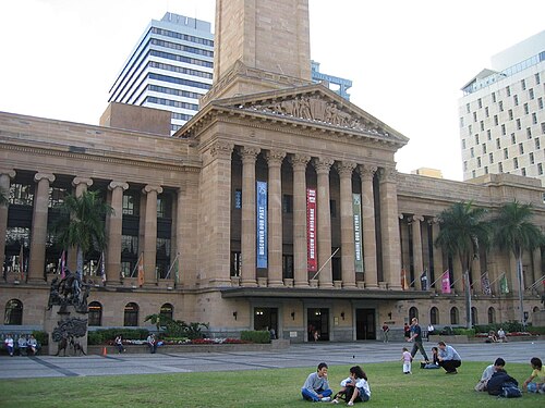
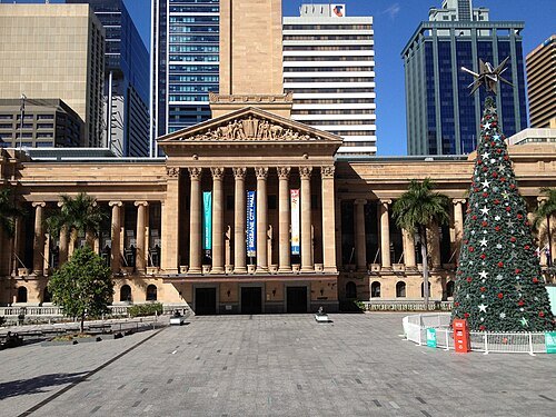
Jonny Brownbill from Melbourne, Australia / CC BY 2.0
museumMuseum of Brisbane
history museum in Brisbane City Hall, King George Square
Getting there Nearest stop or station King George Square Station, about 1 min on foot OpenStreetMap
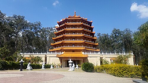
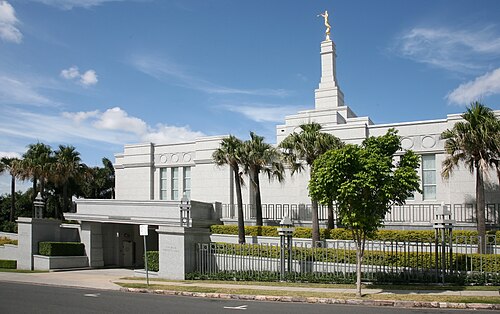 temple
Brisbane Australia Temple
temple of the LDS Church
Getting there Nearest stop or station Maritime Museum, about 8 min on foot OpenStreetMap
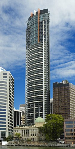
Jeff Chandler / Bigfix at en.wikipedia / CC BY-SA 3.0
skyscraperAurora Tower
skyscraper in Brisbane (Australia)
Getting there Nearest stop or station Riverside, about 4 min on foot OpenStreetMap
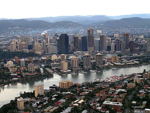
Cyron Ray Macey from Brisbane (-27.470963,153.026505), Australia / CC BY 2.0
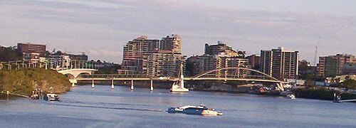
Figaro at English Wikipedia / Public domain
through arch bridgeGoodwill Bridge
bridge in Brisbane, Australia
Getting there Nearest stop or station QUT Gardens Point, about 4 min on foot OpenStreetMap
- parliament of an australian state or territory
Parliament of Queensland
governing body of Queensland, Australia
Getting there Nearest stop or station QUT Gardens Point, about 5 min on foot OpenStreetMap
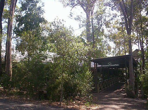
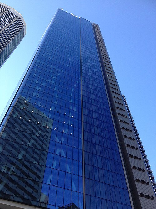
Chris Olszewski / CC BY-SA 4.0
skyscraperOne One One Eagle Street
Australian tallest building
Getting there Nearest stop or station Riverside, about 2 min on foot OpenStreetMap
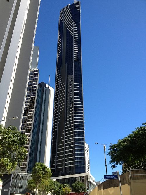
Chris Olszewski / CC BY-SA 3.0
skyscraperSoleil
Australian skyscraper
Getting there Nearest stop or station Holman Street, about 6 min on foot OpenStreetMap
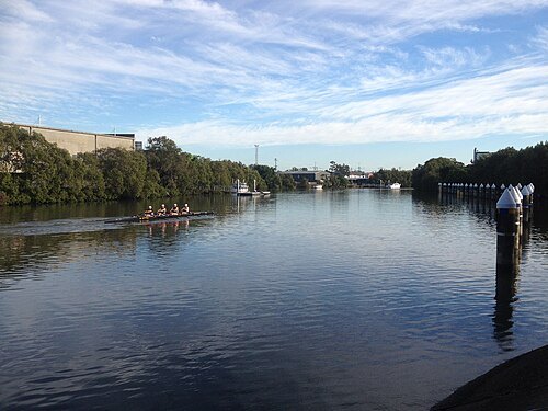
Chris Olszewski / CC BY-SA 3.0
riverBreakfast Creek
river in Queensland, Australia
Getting there Nearest stop or station Bowen Hills, about 11 min on foot OpenStreetMap
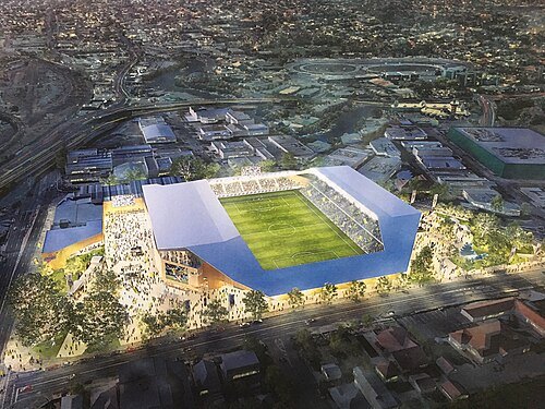 stadium
Perry Park
sports ground in Brisbane, Australia
Getting there Nearest stop or station Bowen Hills, about 4 min on foot OpenStreetMap
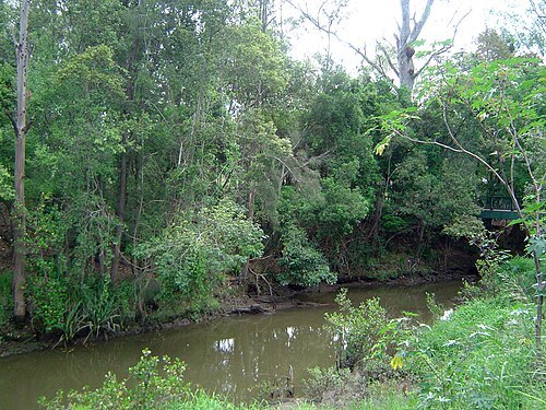
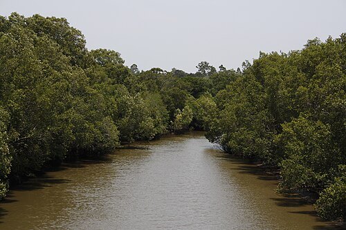
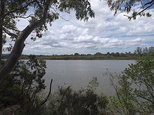 conservation park of australia
Indooroopilly Island Conservation Park
protected area in Queensland, Australia
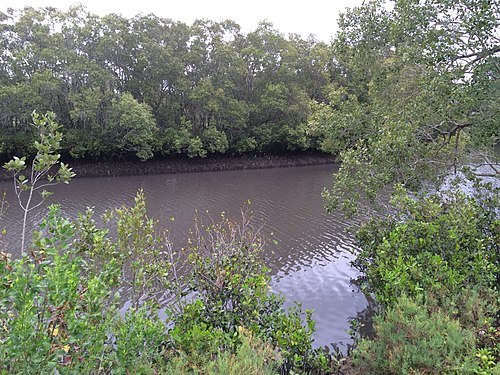 river
Norman Creek
tributary of the Brisbane River
Getting there Nearest stop or station Norman Park, about 14 min on foot OpenStreetMap
- skyscraper
Vision Brisbane
skyscraper in Brisbane
Getting there Nearest stop or station Queen Street bus station, about 7 min on foot OpenStreetMap
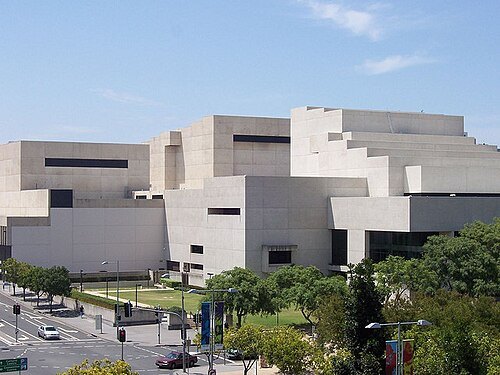
Joe Gatling from Ho Chi Minh City, Vietnam / CC BY 2.0
performing arts centerQueensland Performing Arts Centre
performing arts centre with three theatres and a concert hall in Brisbane, Australia
Getting there Nearest stop or station South Brisbane, about 2 min on foot OpenStreetMap
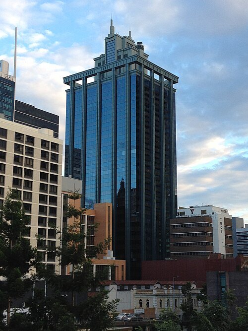
Chris Olszewski / CC BY-SA 3.0
skyscraperState Law Building
Government building in Brisbane, Queensland
Getting there Nearest stop or station King George Square Station, about 3 min on foot OpenStreetMap


Places to eat
- restaurant
Izakaya Goku
Food: japanese
- restaurant
Marinara Cafe & Restaurant
Food: pizza, pasta, seafood
- cafe
The Boys House of Coffee
Food: coffee shop
- cafe
Alphabet
Food: regional
- cafe
Coffee Mentality
Food: coffee shop
- restaurant
Indian Kitchen
Food: regional, indian
- cafe
Insane Acai Bar
Food: smoothie, açaí
Nothing here matches that. Clear a filter and try again.
Opening hours and tickets: OpenStreetMap contributors. Each one shows the day a volunteer last wrote it down, so check the official site before you set out.