Adelaide: what to see and where to eat
Everything below comes from open data and each row says where it came from. We have not been to any of these places and we do not rank them.
Filters
Things to see
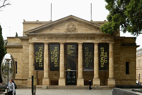 art museum
Art Gallery of South Australia
arts museum in the Australian state of South Australia
Getting there Nearest stop or station Adelaide, about 10 min on foot OpenStreetMap
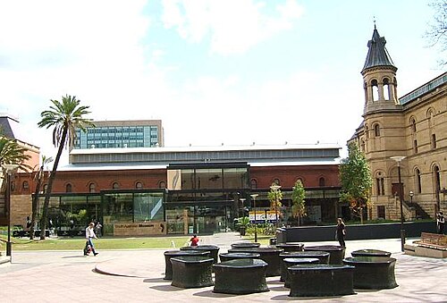 museum
South Australian Museum
natural history museum in Adelaide, South Australia
Getting there Nearest stop or station Adelaide, about 9 min on foot OpenStreetMap
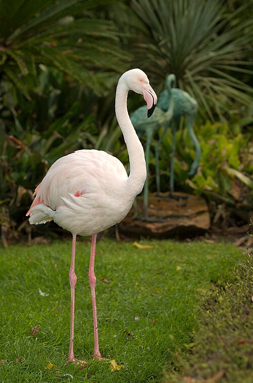
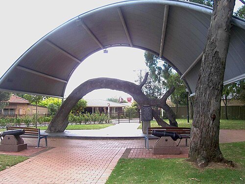
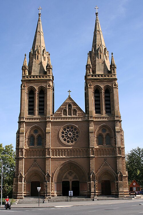
Mike Lehmann, Mike Switzerland 09:46, 28 February 2007 (UTC) / CC BY-SA 3.0
anglican or episcopal cathedralSt Peter's Cathedral
cathedral in Adelaide, South Australia
Getting there Nearest stop or station Adelaide, about 14 min on foot OpenStreetMap
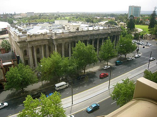 parliament building
Parliament House of South Australia
house of parliament for State of South Australia, Australia
Getting there Nearest stop or station Adelaide, about 3 min on foot OpenStreetMap
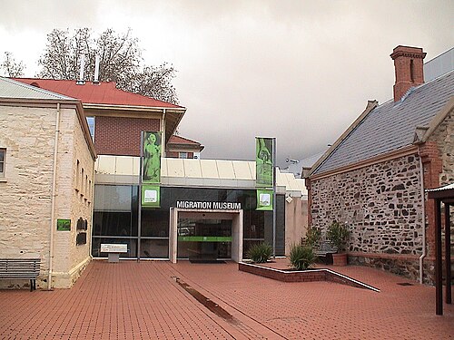 museum
Migration Museum
South Australian museum
Getting there Nearest stop or station Adelaide, about 8 min on foot OpenStreetMap
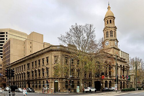
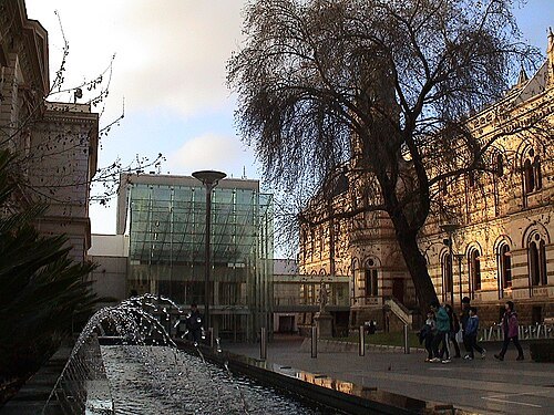 state library
State Library of South Australia
Reference library in Adelaide, South Australia
Getting there Nearest stop or station Adelaide, about 7 min on foot OpenStreetMap
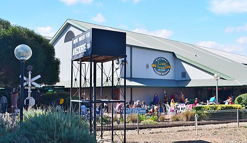 railway museum
National Railway Museum
Australian NRM in Port Adelaide, South Australia
Getting there Nearest stop or station Port Dock Interchange, about 1 min on foot OpenStreetMap
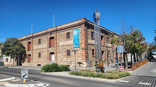 maritime museum
South Australian Maritime Museum
Maritime museum in Port Adelaide
Getting there Nearest stop or station Port Dock Interchange, about 4 min on foot OpenStreetMap
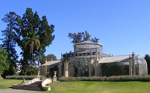
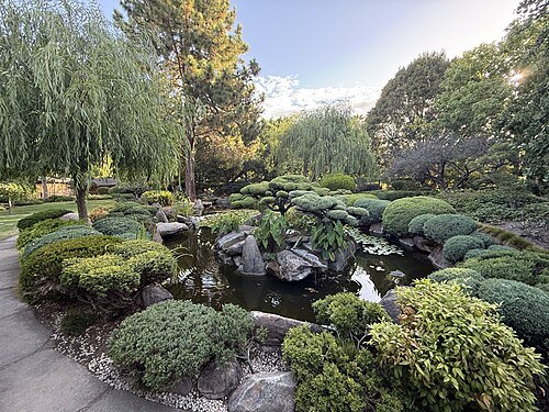 japanese garden outside japan
Adelaide Himeji Garden
traditional Japanese garden in Adelaide, Australia
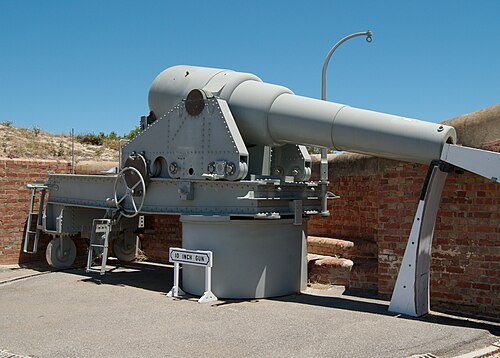 conservation park of south australia
Fort Glanville Conservation Park
protected area in South Australia
- aviation museum
South Australian Aviation Museum
aerospace museum in Port Adelaide, South Australia
Getting there Nearest stop or station Port Adelaide, about 6 min on foot OpenStreetMap
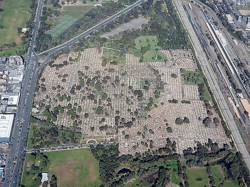
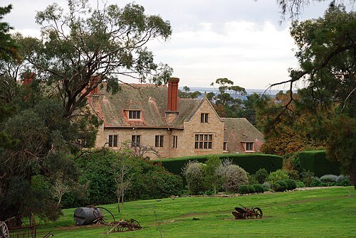
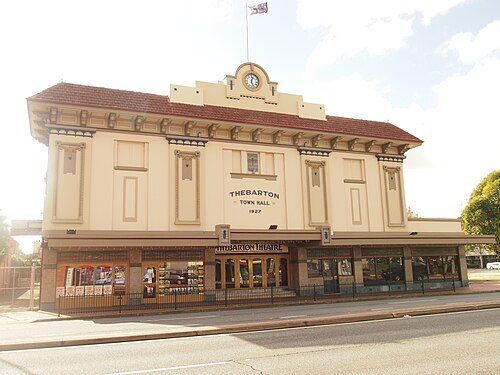 movie theater
Thebarton Theatre
theatre in the inner-western Adelaide suburb of Torrensville, South Australia
Getting there Nearest stop or station Mile End, about 16 min on foot OpenStreetMap
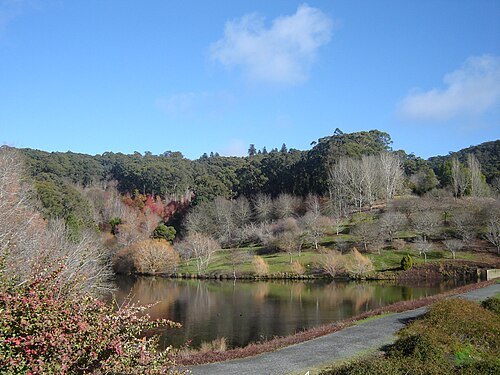
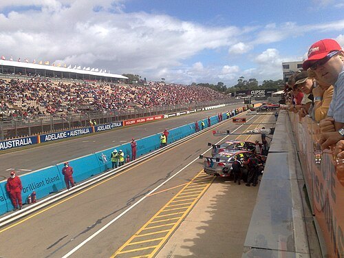
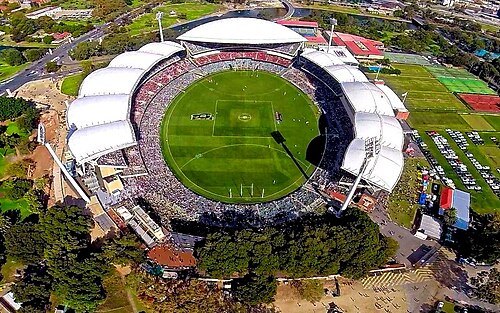
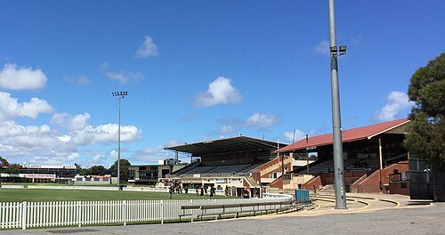
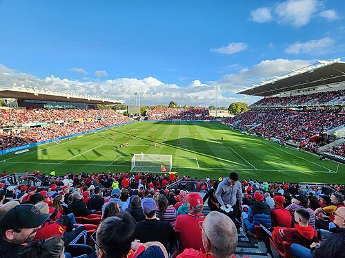 association football venue
Hindmarsh Stadium
football stadium in Australia
Getting there Nearest stop or station Bowden, about 12 min on foot OpenStreetMap
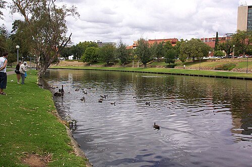
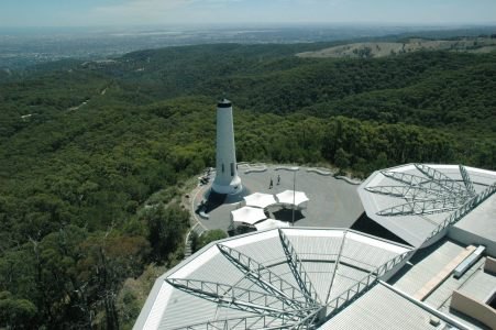
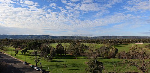
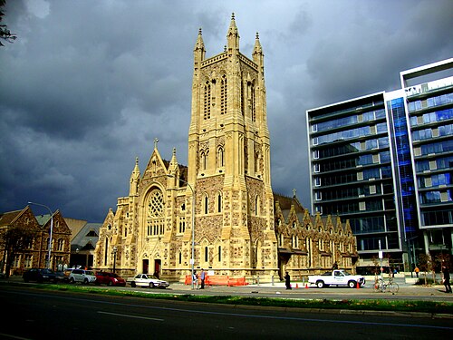
Honeykanakkary / Public domain
catholic cathedralSt Francis Xavier's Cathedral
Catholic cathedral in Adelaide, South Australia
Getting there Nearest stop or station Adelaide, about 15 min on foot OpenStreetMap
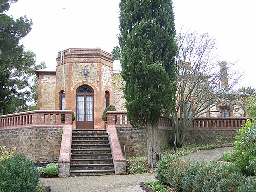
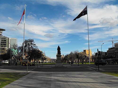
Blueturtle01 (talk) / Public domain
squareVictoria Square
square in Adelaide, South Australia, Australia
Getting there Nearest stop or station Adelaide, about 20 min on foot OpenStreetMap
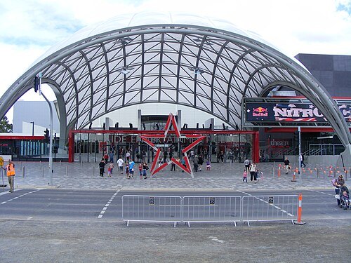
Normangerman at English Wikipedia / Public domain
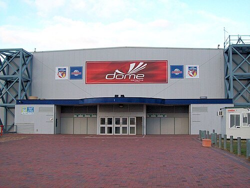
sports venueAdelaide Entertainment Centre
an indoor arena located in the South Australian
Getting there Nearest stop or station Bowden, about 5 min on foot OpenStreetMap
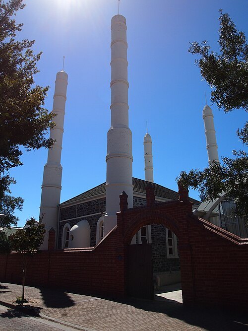 mosque
Central Adelaide Mosque
mosque in Australia
Getting there Nearest stop or station Adelaide Parklands Terminal, about 17 min on foot OpenStreetMap
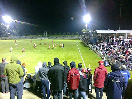 sports venue
Marden Sports Complex
stadium in Marden, South Australia
Getting there Nearest stop or station Klemzig Interchange, about 12 min on foot OpenStreetMap
- parliament of an australian state or territory
Parliament of South Australia
bicameral legislature of the Australian state of South Australia
Getting there Nearest stop or station Adelaide, about 3 min on foot OpenStreetMap
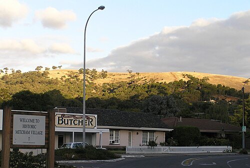
The original uploader was IanRiley at English Wikipedia. / CC BY-SA 2.0
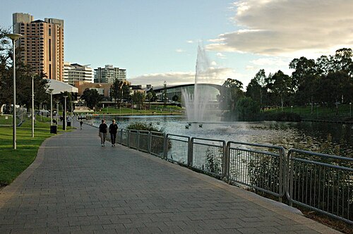 park
Elder Park
public open space in the city of Adelaide
Getting there Nearest stop or station Adelaide, about 5 min on foot OpenStreetMap
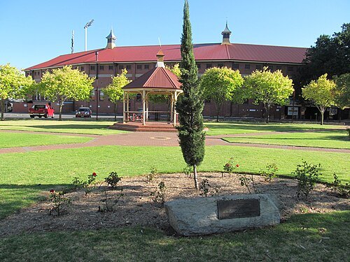
- preserved watercraft
City of Adelaide
clipper ship built in 1864
Getting there Nearest stop or station Port Dock, about 6 min on foot OpenStreetMap
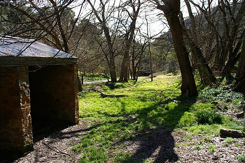 conservation park of south australia
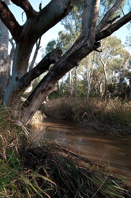
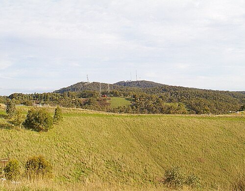
Horsnell Gully Conservation Park
conservation park in South Australia
- art museum
Flinders University Art Museum
university art museums and galleries in North Terrace, Adelaide
Getting there Nearest stop or station Adelaide, about 8 min on foot OpenStreetMap
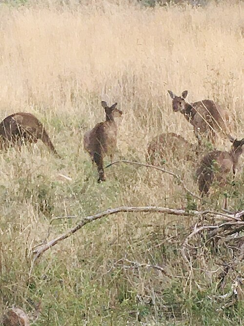
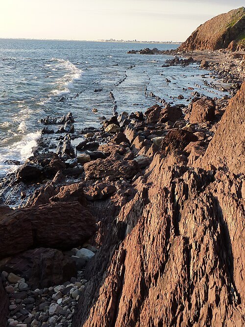 conservation park of south australia
Hallett Cove Conservation Park
protected area in South Australia
Getting there Nearest stop or station Hallett Cove Beach, about 11 min on foot OpenStreetMap
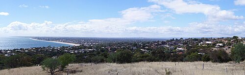 conservation park of south australia
Marino Conservation Park
protected area in South Australia
Getting there Nearest stop or station Marino Rocks, about 13 min on foot OpenStreetMap
- park
Shepherds Hill Recreation Park
protected area in South Australia
Getting there Nearest stop or station Eden Hills, about 15 min on foot OpenStreetMap
 urban park
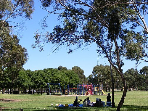
Bonython Park
park in Adelaide, Australia
Getting there Nearest stop or station Mile End, about 16 min on foot OpenStreetMap
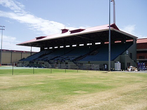
Edelmand at English Wikipedia / Public domain
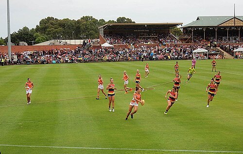
sports venueMemorial Drive Tennis Centre
tennis venue
Getting there Nearest stop or station Adelaide, about 6 min on foot OpenStreetMap
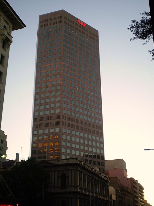
Original uploader was Normangerman at en.wikipedia / Public domain
skyscraperWestpac House
skyscraper in Adelaide, South Australia
Getting there Nearest stop or station Adelaide, about 7 min on foot OpenStreetMap
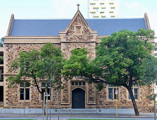 jewish museum
Adelaide Holocaust Museum and Andrew Steiner Education Centre
museum in Adelaide, South Australia
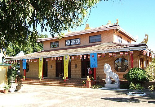
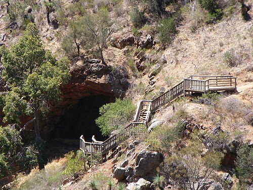 conservation park of south australia
Morialta Conservation Park
in the north-eastern part of the Adelaide foothills
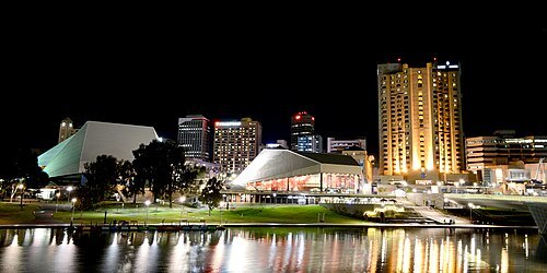
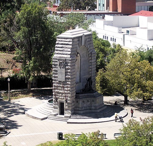
derivative work: Bilby (talk) Adelaide_War_Memorial.jpg: Scott W. / CC BY 2.5
war memorialNational War Memorial
war memorial in Adelaide, South Australia, Australia
Getting there Nearest stop or station Adelaide, about 7 min on foot OpenStreetMap


Places to eat
- cafe
Gloria Jean's
Food: coffee shop
Nothing here matches that. Clear a filter and try again.
Opening hours and tickets: OpenStreetMap contributors. Each one shows the day a volunteer last wrote it down, so check the official site before you set out.