Constantine: what to see and where to eat
Everything below comes from open data and each row says where it came from. We have not been to any of these places and we do not rank them.
Filters
Things to see
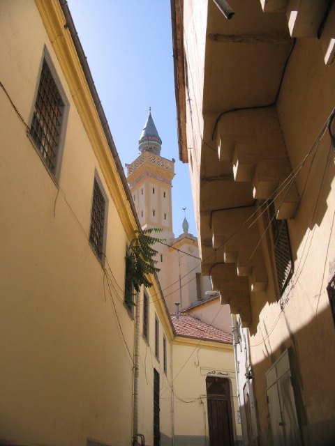 mosque
Great Mosque of Constantine
mosque in Constantine City, Constantine Province, Algeria
Getting there Nearest stop or station Gare urbaine de Bab El Kantra, about 7 min on foot OpenStreetMap
- mosque
Hassan Bey Mosque
Mosque in Constantine, Algeria
Getting there Nearest stop or station Station Tattache Belkacem, about 6 min on foot OpenStreetMap
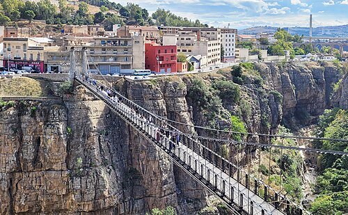 suspension bridge
Pont Mellah Slimane
bridge in Constantine, Algeria
Getting there Nearest stop or station Gare urbaine de Bab El Kantra, about 4 min on foot OpenStreetMap
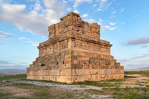 mausoleum
Royal Mausoleum of Soumaâ El Khroub
Tombs in Algeria
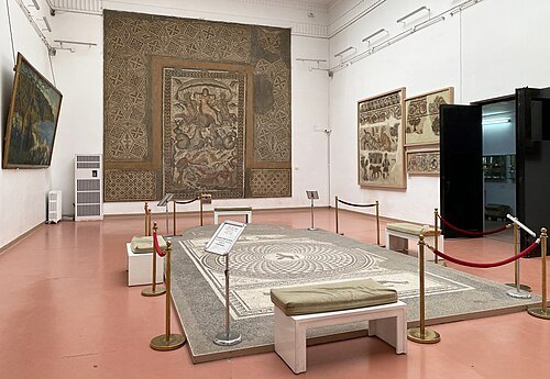 national museum
Cirta National Museum
Algerian archaeological museum
Getting there Nearest stop or station Gare urbaine de Bab El Kantra, about 14 min on foot OpenStreetMap
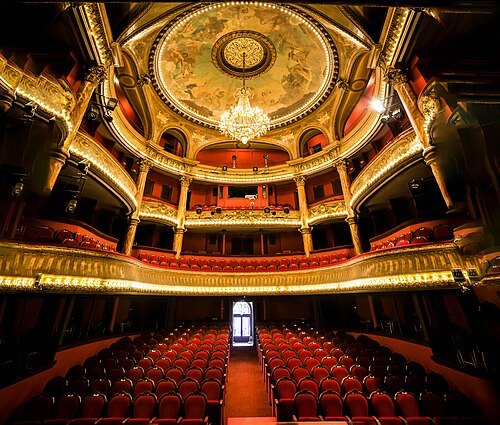 theatre building
Constantine Regional Theater
theatre in Algeria
Getting there Nearest stop or station Gare urbaine de Bab El Kantra, about 9 min on foot OpenStreetMap
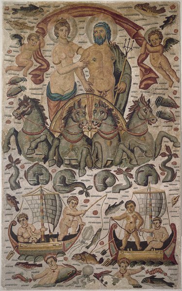
Ghirlandajo at en.wikipedia / Public domain
ancient cityCirta
major ancient city of Numidia, now Constantine in Algeria
Getting there Nearest stop or station Station Tattache Belkacem, about 5 min on foot OpenStreetMap
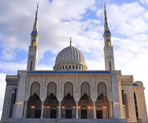 architectural landmark
Emir Abdelkader Mosque
mosque in Constantine, Algeria
Getting there Nearest stop or station محطة الحافلات جنان الزيتون, about 11 min on foot OpenStreetMap
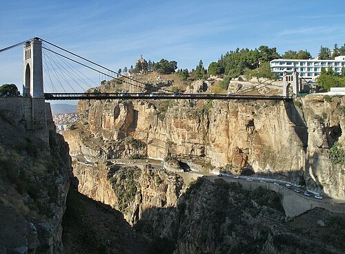 road bridge
Pont Sidi M'Cid
bridge in Algeria
Getting there Nearest stop or station Station Tattache Belkacem, about 5 min on foot OpenStreetMap
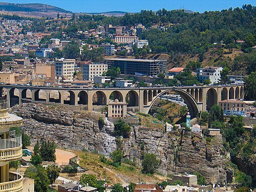
Maghnia-algeria / CC BY-SA 4.0
stone bridgeSidi Rached Viaduct
Bridges in Algeria
Getting there Nearest stop or station Gare urbaine de Bab El Kantra, about 6 min on foot OpenStreetMap
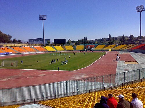 association football venue
Stade Mohamed Hamlaoui
building in Algeria
Getting there Nearest stop or station SNTV Est, about 6 min on foot OpenStreetMap
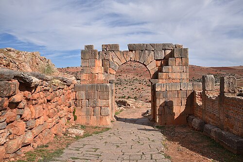
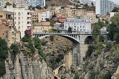 arch bridge
Pont El Kantara
bridge in Constantine, Algeria
Getting there Nearest stop or station Constantine, about 3 min on foot OpenStreetMap
- stadium
Stade Abed Hamdani
building in Algeria
Getting there Nearest stop or station El Khroub, about 4 min on foot OpenStreetMap
- stadium
Ramadan Ben-Abdelmalek Stadium
building in Algeria
Getting there Nearest stop or station SNTV Est, about 6 min on foot OpenStreetMap
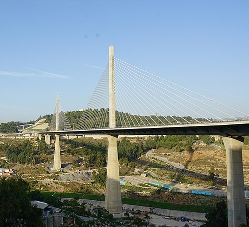
hanming_huang from Singapore / CC BY-SA 2.0
road bridgeSalah Bey Viaduct
bridge in Algeria
Getting there Nearest stop or station Station Khemisti, about 8 min on foot OpenStreetMap
- mosque
Sidi Lakhdar Mosque
mosque in Constantine City, Constantine Province, Algeria
Getting there Nearest stop or station Station Tattache Belkacem, about 4 min on foot OpenStreetMap
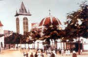
Unknown authorUnknown author / Public domain
cathedralCathedral of Our Lady of the Seven Sorrows
Cathedral in Constantine, Algeria
Getting there Nearest stop or station Station Tattache Belkacem, about 6 min on foot OpenStreetMap
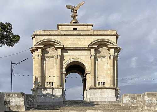 triumphal arch
Monument aux morts de Constantine
Getting there Nearest stop or station Station CHU Ben Badis, about 9 min on foot OpenStreetMap
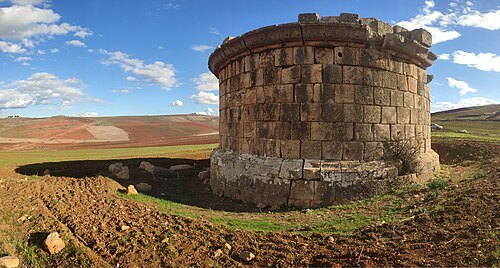 archaeological site
Mausoleum of Quintus Lollius Urbicus
Tomb of Quintus Lollius Urbicus in Tiddis, Algeria
- mosque
Abu Musa Al-Ashari Mosque


Places to eat
No eating place in this city lists its cuisine and opening hours yet.
Nothing here matches that. Clear a filter and try again.
Opening hours and tickets: OpenStreetMap contributors. Each one shows the day a volunteer last wrote it down, so check the official site before you set out.