Boumerdès: what to see and where to eat

Everything below comes from open data and each row says where it came from. We have not been to any of these places and we do not rank them.

41,685 people live here

Nearest airport: Algiers International Houari Boumediene Airport (ALG), about 24.28 km from the centre

Distances are straight-line and the walking time is an estimate, not a route.

Filters

Things to see

  • archaeological site

    Marsa al-Djaje

    Old city in Algeria

    Opening hours Not checked

    Admission Not checked

    About 9 km from the city centre

    Map

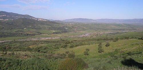
  • Isser River

    moi-même / CC BY-SA 4.0

    river

    Isser River

    river in Algeria

    Opening hours Not checked

    Admission Not checked

    About 20 km from the city centre

    Map

  • Meraldene River

    Kalimoun / CC BY-SA 4.0

    river

    Meraldene River

    river in Algeria

    Opening hours Not checked

    Admission Not checked

    About 9 km from the city centre

    Map

  • Boumerdès River

    Sandervalya / CC BY-SA 4.0

    river

    Boumerdès River

    watercourse in Algeria

    Opening hours Not checked

    Admission Not checked

    Map

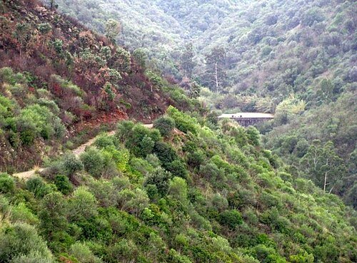
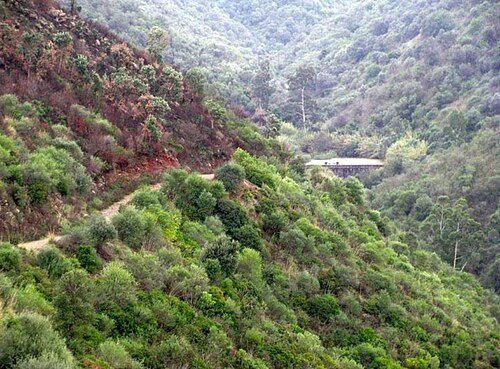
  • Meraldene Dam

    Kalimoun / CC BY-SA 4.0

    dam

    Meraldene Dam

    dam in Meraldene, Thénia, Boumerdès Province, Kabylia

    Opening hours Not checked

    Admission Not checked

    About 8 km from the city centre

    Map

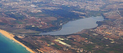
  • Réghaïa lake

    Sandervalya / CC BY-SA 4.0

    lake

    Réghaïa lake

    lake in Algeria

    Opening hours Not checked

    Admission Not checked

    About 12 km from the city centre

    Map

  • venue

    Rouïba Olympic Stadium

    Soccer stadium located in Rouïba, Algeria

    Opening hours Not checked

    Admission Not checked

    Getting there Nearest stop or station Station de Bus vers Alger-Ain Taya, about 11 min on foot OpenStreetMap
    About 17 km from the city centre

    Map

  • Reghaïa River

    Sandervalya / CC BY-SA 4.0

    river

    Reghaïa River

    river in Algeria

    Opening hours Not checked

    Admission Not checked

    About 12 km from the city centre

    Map

  • forest

    Forêt de Reghaïa

    forest in Algeria

    Opening hours Not checked

    Admission Not checked

    About 8 km from the city centre

    Map

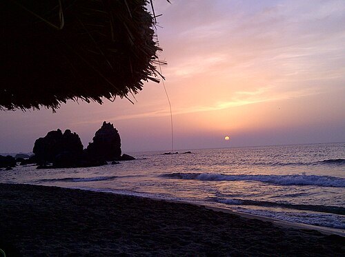
  • Skhirat, Boumerdès

    Cdnawel / CC BY-SA 3.0

    beach

    Skhirat, Boumerdès

    place in Thénia District, Thénia

    Opening hours Not checked

    Admission Not checked

    Map

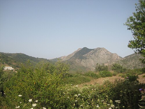
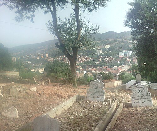
  • Khachna

    Gloogloo / CC BY-SA 3.0

    mountain range

    Khachna

    mountain range of the Tell Atlas, part of the Atlas Mountain System, located in Kabylie, Algeria

    Opening hours Not checked

    Admission Not checked

    Getting there Nearest stop or station Thénia, about 5 min on foot OpenStreetMap
    About 8 km from the city centre

    Map

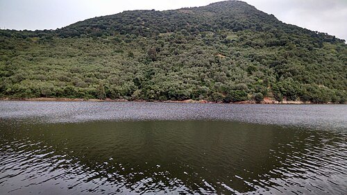
  • Thenia Cemetery

    Karlosins / CC BY-SA 4.0

    cemetery

    Thenia Cemetery

    Muslim cemetery in Algeria

    Opening hours Not checked

    Admission Not checked

    Getting there Nearest stop or station Thénia, about 10 min on foot OpenStreetMap
    About 9 km from the city centre

    Map

  • Beni Amrane Dam

    Hini bo / CC BY-SA 4.0

    dam

    Beni Amrane Dam

    Dam located in Beni Amrane within Boumerdès Province of Algeria

    Opening hours Not checked

    Admission Not checked

    About 8 km from the city centre

    Map

  • forest

    Ain Taya Forest

    forest in Commune Aïn Taya, in Algeria

    Opening hours Not checked

    Admission Not checked

    About 19 km from the city centre

    Map

Places to eat

No eating place in this city lists its cuisine and opening hours yet.

Opening hours and tickets: OpenStreetMap contributors. Each one shows the day a volunteer last wrote it down, so check the official site before you set out.

Nothing picked yet
    Add a place that is not listed here

    One per line. Pasting a list works too.

    Algeria