Batna: what to see and where to eat

Everything below comes from open data and each row says where it came from. We have not been to any of these places and we do not rank them.

290,645 people live here

Nearest airport: Batna Mostefa Benboulaid Airport (BLJ), about 26.01 km from the centre

Distances are straight-line and the walking time is an estimate, not a route.

Filters

Things to see

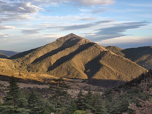
  • Belezma National Park

    Rachid Hamatou / CC BY-SA 4.0

    national park

    Belezma National Park

    national Park in Algeria

    Opening hours Not checked

    Admission Not checked

    About 13 km from the city centre

    Map

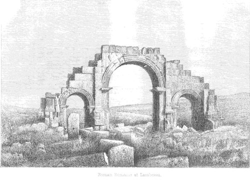
  • Castra Lambaesis

    Unknown authorUnknown author / Public domain

    ancient roman structure

    Castra Lambaesis

    Roman fort

    Opening hours Not checked

    Admission Not checked

    About 11 km from the city centre

    Map

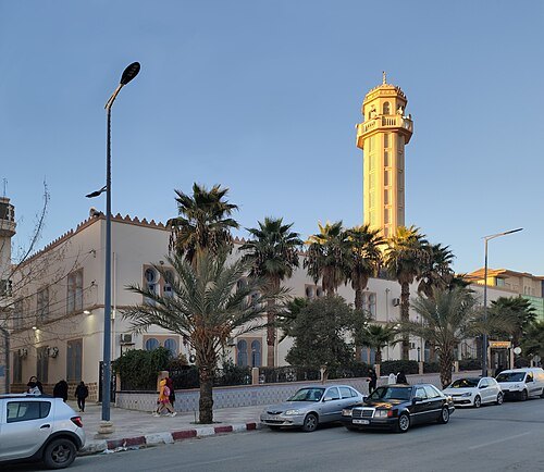
  • 1st November of 1954 Great Mosque

    Zedam Nabil / CC BY 2.0

    mosque

    1st November of 1954 Great Mosque

    building in Algeria

    Opening hours Not checked

    Admission Not checked

    Map

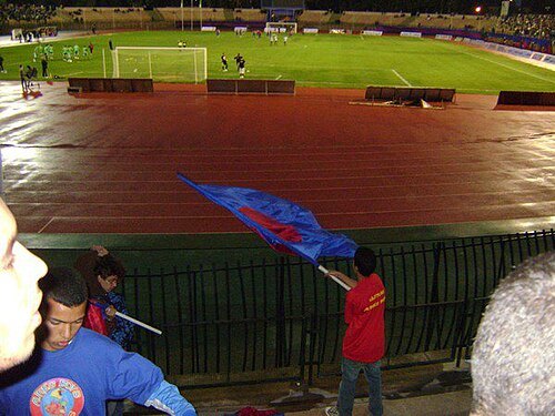
  • Stade of 1st November 1954

    Auressien / CC BY 1.0

    stadium

    Stade of 1st November 1954

    building in Algeria

    Opening hours Not checked

    Admission Not checked

    Map

  • stadium

    Stade Seffouhi

    building in Algeria

    Opening hours Not checked

    Admission Not checked

    Getting there Nearest stop or station Batna, about 11 min on foot OpenStreetMap
    Map

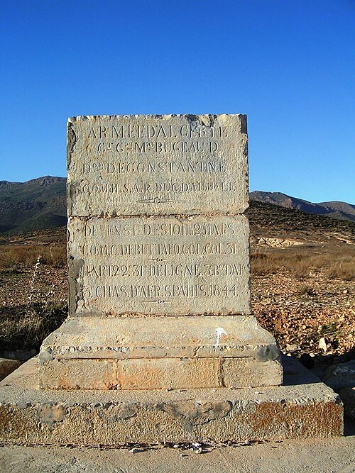
  • Monument of the camp of De Buttafoco

    Rachid Hamatou / CC BY-SA 3.0

    stele

    Monument of the camp of De Buttafoco

    monument in Batna, Algeria

    Opening hours Not checked

    Admission Not checked

    Map

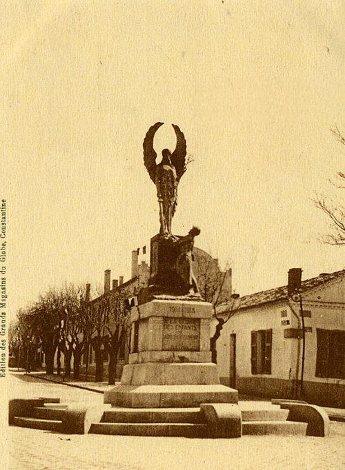
  • monument to the dead of Batna

    Unknown authorUnknown author / Public domain

    sculpture

    monument to the dead of Batna

    Opening hours Not checked

    Admission Not checked

    Map

  • museum

    Lucas Farm Museum

    Opening hours Not checked

    Admission Not checked

    Getting there Nearest stop or station Djerma, about 4 min on foot OpenStreetMap
    About 18 km from the city centre

    Map

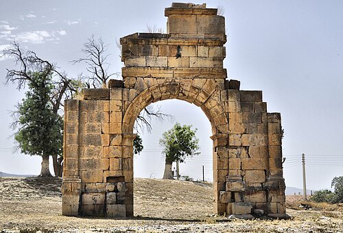
  • Arch of Marcus Aurelius

    Hamza-sia / CC BY-SA 3.0

    triumphal arch

    Arch of Marcus Aurelius

    Opening hours Not checked

    Admission Not checked

    About 15 km from the city centre

    Map

  • mountain

    Djebel Tuggurt

    mountain in Algeria

    Opening hours Not checked

    Admission Not checked

    About 11 km from the city centre

    Map

  • mountain

    Kef Titouguelt

    mountain in Algeria

    Opening hours Not checked

    Admission Not checked

    About 11 km from the city centre

    Map

  • hill

    Tigri

    hill in Algeria

    Opening hours Not checked

    Admission Not checked

    About 19 km from the city centre

    Map

  • spring

    'Aïn Tetaouine

    spring in Batna Province, Algeria

    Opening hours Not checked

    Admission Not checked

    About 15 km from the city centre

    Map

  • mountain

    Djebel Tichao

    mountain in Algeria

    Opening hours Not checked

    Admission Not checked

    About 19 km from the city centre

    Map

  • spring

    'Aïn Talremt

    spring in Batna Province, Algeria

    Opening hours Not checked

    Admission Not checked

    About 11 km from the city centre

    Map

  • mountain

    Draa es Sedda

    mountain in Algeria

    Opening hours Not checked

    Admission Not checked

    About 17 km from the city centre

    Map

  • mountain

    Djebel Râs er Rih

    mountain in Algeria

    Opening hours Not checked

    Admission Not checked

    About 20 km from the city centre

    Map

  • mountain

    Djebel el Mraoua

    mountain in Algeria

    Opening hours Not checked

    Admission Not checked

    Map

  • mountain

    Djebel Icha'li

    mountain in Algeria

    Opening hours Not checked

    Admission Not checked

    Map

  • forest

    Forêt d'Ich Ali

    Opening hours Not checked

    Admission Not checked

    Map

  • spring

    Aïn el Hamra

    spring in Batna Province, Algeria

    Opening hours Not checked

    Admission Not checked

    About 11 km from the city centre

    Map

  • mountain pass

    Teniet el Gontous

    mountain pass in Batna Province, Algeria

    Opening hours Not checked

    Admission Not checked

    About 15 km from the city centre

    Map

  • mountain

    Râs Gueddelane

    mountain in Algeria

    Opening hours Not checked

    Admission Not checked

    About 19 km from the city centre

    Map

  • spring

    Aïn Drine

    spring in Batna Province, Algeria

    Opening hours Not checked

    Admission Not checked

    About 18 km from the city centre

    Map

  • spring

    Aïn Charme

    spring in Batna Province, Algeria

    Opening hours Not checked

    Admission Not checked

    About 20 km from the city centre

    Map

  • hill

    Bou Youssef

    hill in Algeria

    Opening hours Not checked

    Admission Not checked

    About 17 km from the city centre

    Map

  • hill

    Djebel Bou Kezzez

    hill in Algeria

    Opening hours Not checked

    Admission Not checked

    About 12 km from the city centre

    Map

  • mountain

    Kef Bou Khardel

    mountain in Algeria

    Opening hours Not checked

    Admission Not checked

    About 12 km from the city centre

    Map

  • mountain

    Koudia Bel Ouara

    mountain in Algeria

    Opening hours Not checked

    Admission Not checked

    About 18 km from the city centre

    Map

  • mountain

    Monts de Belezma

    mountain in Algeria

    Opening hours Not checked

    Admission Not checked

    About 16 km from the city centre

    Map

  • mountain

    Abelgo

    mountain in Algeria

    Opening hours Not checked

    Admission Not checked

    About 17 km from the city centre

    Map

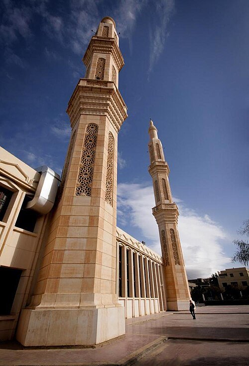
  • Abdelhamid Ben Badis Mosque (Batna)

    Reda Kerbush / CC BY-SA 4.0

    mosque

    Abdelhamid Ben Badis Mosque (Batna)

    Mosque in Batna city

    Opening hours Not checked

    Admission Not checked

    Map

  • mountain

    Koudia Tenoun Kenine

    mountain in Algeria

    Opening hours Not checked

    Admission Not checked

    About 9 km from the city centre

    Map

  • mountain

    Djebel Takharbi

    mountain in Algeria

    Opening hours Not checked

    Admission Not checked

    About 8 km from the city centre

    Map

  • mountain

    Koudia Srat

    mountain in Algeria

    Opening hours Not checked

    Admission Not checked

    About 14 km from the city centre

    Map

  • mountain

    Djebel Sarif

    mountain in Algeria

    Opening hours Not checked

    Admission Not checked

    About 19 km from the city centre

    Map

  • mountain

    Djebel el Mafla

    mountain in Algeria

    Opening hours Not checked

    Admission Not checked

    About 13 km from the city centre

    Map

  • spring

    'Aïn Meriel

    spring in Batna Province, Algeria

    Opening hours Not checked

    Admission Not checked

    Getting there Nearest stop or station Djerma, about 19 min on foot OpenStreetMap

    About 18 km from the city centre

    Map

  • spring

    Aïn el Melah

    spring in Batna Province, Algeria

    Opening hours Not checked

    Admission Not checked

    About 9 km from the city centre

    Map

  • mountain

    Djebel Maaguel

    mountain in Algeria

    Opening hours Not checked

    Admission Not checked

    About 11 km from the city centre

    Map

  • hill

    Les Trois Pierres

    hill in Algeria

    Opening hours Not checked

    Admission Not checked

    About 17 km from the city centre

    Map

  • spring

    'Aïn el Kerma

    spring in Batna Province, Algeria

    Opening hours Not checked

    Admission Not checked

    About 19 km from the city centre

    Map

  • mountain pass

    Foum Rherab

    mountain pass in Batna Province, Algeria

    Opening hours Not checked

    Admission Not checked

    About 20 km from the city centre

    Map

  • mountain

    Kef Guelaa

    mountain in Algérie

    Opening hours Not checked

    Admission Not checked

    About 19 km from the city centre

    Map

  • mountain

    Djebel Bou Kherchouch

    mountain in Algeria

    Opening hours Not checked

    Admission Not checked

    About 13 km from the city centre

    Map

  • spring

    Aïn Belkhez

    spring in Batna Province, Algeria

    Opening hours Not checked

    Admission Not checked

    About 14 km from the city centre

    Map

  • mountain

    Djebel Azeb

    mountain in Algeria
    Opening hours Not checked

    Admission Not checked

    About 10 km from the city centre

    Map

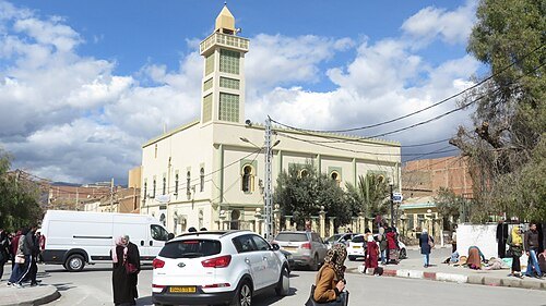
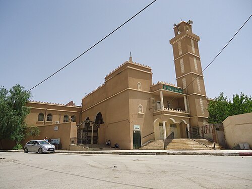
  • El-Atik mosque of the martyr Tahar Messaouden

    Great11 / CC BY-SA 4.0

    mosque

    El-Atik mosque of the martyr Tahar Messaouden

    Mosque in Batna city

    Opening hours Not checked

    Admission Not checked

    Getting there Nearest stop or station Batna, about 17 min on foot OpenStreetMap
    Map

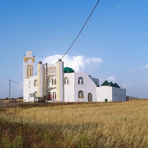
  • Uthman ibn Affan mosque of Batna

    Omar Ilyes / CC BY-SA 3.0

    mosque

    Uthman ibn Affan mosque of Batna

    Mosque in Batna city
    Opening hours Not checked

    Admission Not checked

    Map

  • Errahma Mosque (Ouyoun El Assafir)

    Omar Ilyes, adjusted by Riad Salih / CC BY-SA 3.0

    mosque

    Errahma Mosque (Ouyoun El Assafir)

    Mosque in Algeria

    Opening hours Not checked

    Admission Not checked

    About 16 km from the city centre

    Map

  • mountain

    Koudia Zedraïm

    mountain in Algeria

    Opening hours Not checked

    Admission Not checked

    About 14 km from the city centre

    Map

  • mountain

    Djebel Tissoures

    mountain in Algeria

    Opening hours Not checked

    Admission Not checked

    About 16 km from the city centre

    Map

  • spring

    Aïn Tarchena

    spring in Batna Province, Algeria

    Opening hours Not checked

    Admission Not checked

    About 14 km from the city centre

    Map

  • mountain pass

    Col de Telmet

    mountain pass in Batna Province, Algeria

    Opening hours Not checked

    Admission Not checked

    About 12 km from the city centre

    Map

  • mountain pass

    Teniet ech Chaïr

    mountain pass in Batna Province, Algeria

    Opening hours Not checked

    Admission Not checked

    About 12 km from the city centre

    Map

  • spring

    Aïn Mrida

    spring in Batna Province, Algeria

    Opening hours Not checked

    Admission Not checked

    About 13 km from the city centre

    Map

  • spring

    Aïn Miet

    spring in Batna Province, Algeria

    Opening hours Not checked

    Admission Not checked

    About 10 km from the city centre

    Map

  • mountain

    Kef Mokhtar

    mountain in Algeria

    Opening hours Not checked

    Admission Not checked

    About 9 km from the city centre

    Map

  • mountain

    Djebel Mestaoua

    mountain in Algeria

    Opening hours Not checked

    Admission Not checked

    About 16 km from the city centre

    Map

  • spring

    Aïn el Krabia

    spring in Batna Province, Algeria

    Opening hours Not checked

    Admission Not checked

    About 15 km from the city centre

    Map

Places to eat

  • restaurant

    Délice crêpes

    Food: sandwich, crepe, burger

    Mo-Su 10:00-22:00

    bouig

    Map

Opening hours and tickets: OpenStreetMap contributors. Each one shows the day a volunteer last wrote it down, so check the official site before you set out.

Nothing picked yet
    Add a place that is not listed here

    One per line. Pasting a list works too.

    Algeria