Algiers: what to see and where to eat
Everything below comes from open data and each row says where it came from. We have not been to any of these places and we do not rank them.
Filters
Things to see
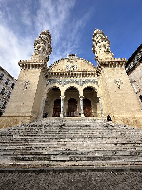 mosque
Ketchaoua Mosque
mosque in Algiers, Algeria
Getting there Nearest stop or station Place des Martyrs (Martyrs Square), about 3 min on foot OpenStreetMap
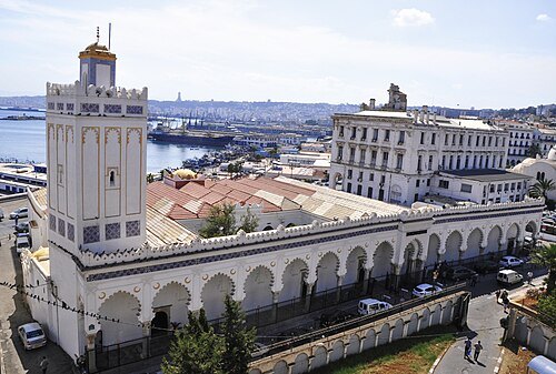 mosque
Djamaa El Kebir of Algiers
historic mosque in Algiers, Algeria
Getting there Nearest stop or station Martyrs Square, about 1 min on foot OpenStreetMap
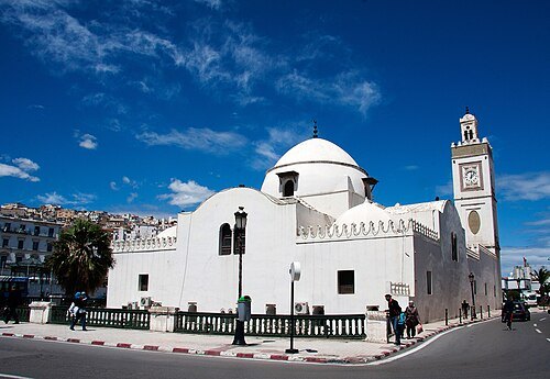 mosque
Djamaa al-Djedid
mosque in the Casbah of Algiers
Getting there Nearest stop or station Martyrs Square, about 1 min on foot OpenStreetMap
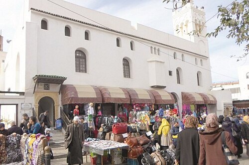 mosque
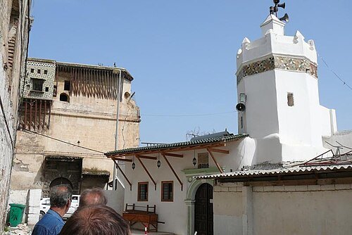
Ali Bitchin Mosque
mosque in Algiers, Algeria
Getting there Nearest stop or station Place des Martyrs (Martyrs Square), about 2 min on foot OpenStreetMap
Yves Jalabert from La Rochelle, France / CC BY-SA 2.0
mosqueEl Barani Mosque
mosque in Algiers, Algeria
Getting there Nearest stop or station Ali Boumendjel, about 8 min on foot OpenStreetMap
 memorial
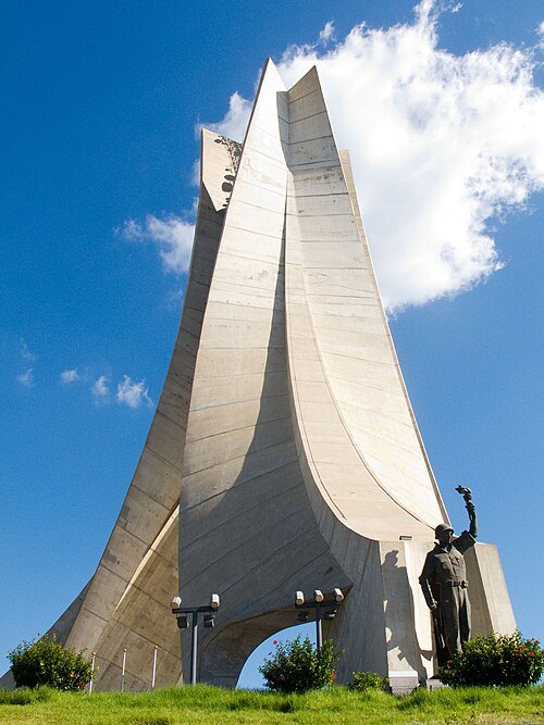
Martyrs Memorial
monument in Algiers, Algeria
Getting there Nearest stop or station Mémorial, about 4 min on foot OpenStreetMap
 national museum
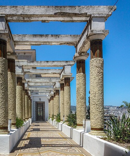
National Museum of Fine Arts of Algiers
Art Museum in Algeria
Getting there Nearest stop or station Jardin d'essai (Botanical garden), about 1 min on foot OpenStreetMap
 mosque
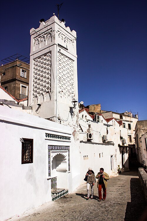
Sidi Ramdan Mosque
mosque in the Casbah of Algiers
Getting there Nearest stop or station Martyrs Square, about 1 min on foot OpenStreetMap
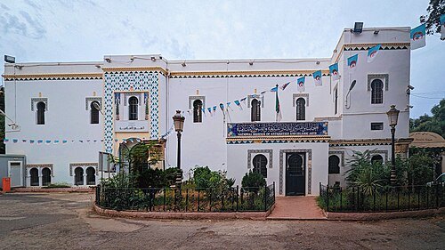 museum
Museum of Antiquities
museum of Archaeology and Art, Algiers, Algeria
Getting there Nearest stop or station Khelifa Boukhalfa, about 13 min on foot OpenStreetMap
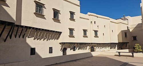 museum
Rais Palace
building in Algeria
Getting there Nearest stop or station Place des Martyrs, about 5 min on foot OpenStreetMap
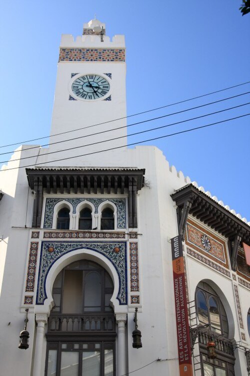 museum
Museum of Modern Art of Algiers
museum
Getting there Nearest stop or station Ali Boumendjel, about 4 min on foot OpenStreetMap
Muhammed amine benloulou / CC BY-SA 4.0
museumBardo National Museum
national museum in Algiers, Algeria
Getting there Nearest stop or station 1st May, about 14 min on foot OpenStreetMap
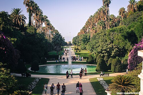 botanical garden
Botanical Garden of Hamma
Gardens in Algiers
Getting there Nearest stop or station Station Jardin d'Essai, about 5 min on foot OpenStreetMap
- mosque
Safir Mosque
mosque in Algiers, Algeria
Getting there Nearest stop or station Ali Boumendjel, about 6 min on foot OpenStreetMap
Yves Jalabert from La Rochelle, France / CC BY-SA 2.0
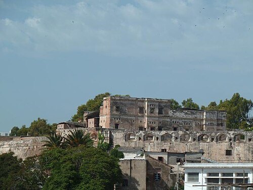
palaceDey Palace
Palaces in Algeria
Getting there Nearest stop or station Ali Boumendjel, about 9 min on foot OpenStreetMap
- mausoleum
Zawiyet Sidi M'hamed Bou Qobrine (Algiers)
Zawiya and building in Algeria
Getting there Nearest stop or station Station Sidi M'hamed محطة سيدي امحمد, about 2 min on foot OpenStreetMap
Abderrahmane boudjenane / CC BY-SA 4.0
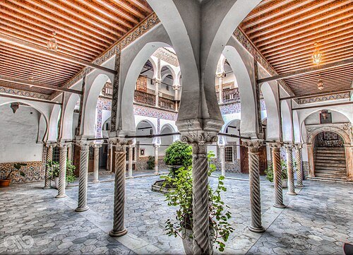
museumMuseum of Popular Arts and Traditions
Algerian museum
Getting there Nearest stop or station Place des Martyrs (Martyrs Square), about 3 min on foot OpenStreetMap
 palace
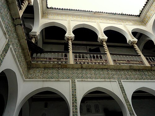
Dar Aziza
building in Algiers, Algeria
Getting there Nearest stop or station Place des Martyrs (Martyrs Square), about 2 min on foot OpenStreetMap
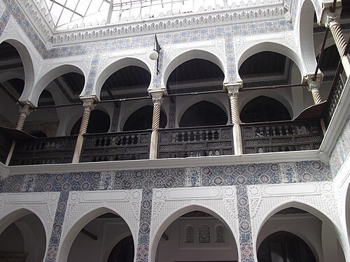 palace
Dar Hassan Pacha
building in Algiers, Algeria
Getting there Nearest stop or station Place des Martyrs (Martyrs Square), about 2 min on foot OpenStreetMap
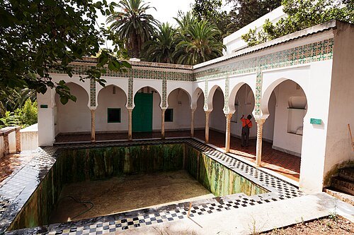 villa
Villa Abd-el-Tif
villa in Algiers, Algeria
Getting there Nearest stop or station Jardin d'Essai, about 2 min on foot OpenStreetMap
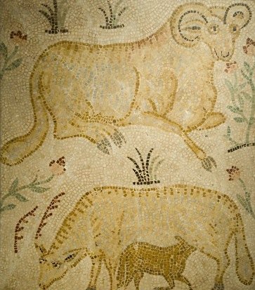
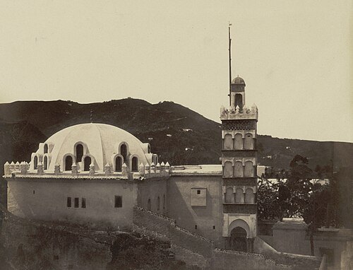
Félix-Jacques Moulin / Public domain
mosqueSidi Abderrahman Mosque
mosque in the Kasbah of Algiers
Getting there Nearest stop or station Martyrs Square, about 1 min on foot OpenStreetMap
- barbary coast
Regency of Algiers
1516–1830 autonomous state in North Africa
Getting there Nearest stop or station Place des Martyrs (Martyrs Square), about 1 min on foot OpenStreetMap
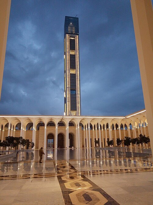 mosque
Djamaa El Djazaïr
third largest mosque in the world and the tallest minaret in the world, located in Mohammadia, Algiers, Algeria
Getting there Nearest stop or station Station Belle Vue, about 11 min on foot OpenStreetMap
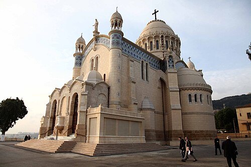 minor basilica
Basilica of Notre-Dame-d'Afrique
building in Algeria
Getting there Nearest stop or station Station Notre Dame d'Afrique, about 1 min on foot OpenStreetMap
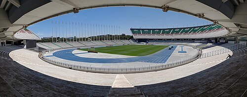 association football venue
Stade 5 Juillet 1962
Football stadium in Algiers, Algeria
Getting there Nearest stop or station Cous, about 18 min on foot OpenStreetMap
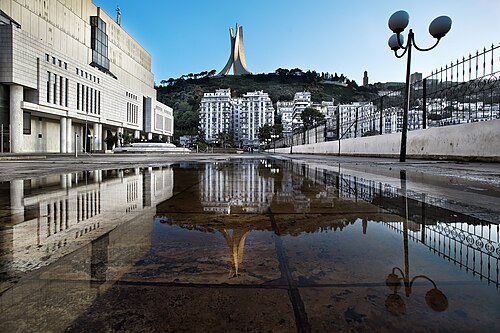
Henry_Marion from Paris, France / CC BY-SA 2.0
national libraryNational Library of Algeria
Algerian national library
Getting there Nearest stop or station Jardin d'essai (Botanical garden), about 3 min on foot OpenStreetMap
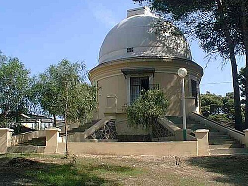
Original uploader was Mehnimalik at fr.wikipedia / CC BY-SA 3.0
astronomical observatoryCenter of Research in Astronomy, Astrophysics and Geophysics
astronomical observatory
Getting there Nearest stop or station Station Village Celleste, about 9 min on foot OpenStreetMap
- synagogue
Ben Farès Mosque
Mosque and former synagogue in Algiers, Algeria
Getting there Nearest stop or station Place des Martyrs (Martyrs Square), about 5 min on foot OpenStreetMap
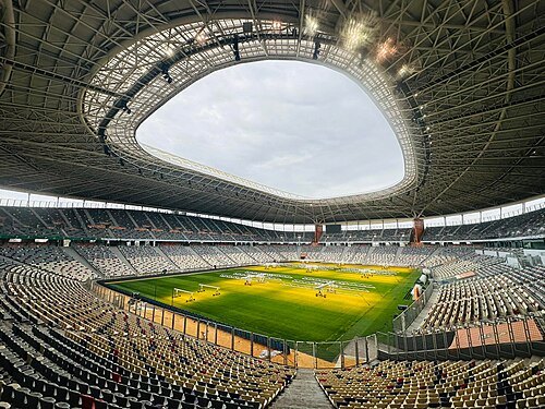
- tied island
Peñón of Algiers
former island in Algeria
Getting there Nearest stop or station Martyrs Square, about 7 min on foot OpenStreetMap
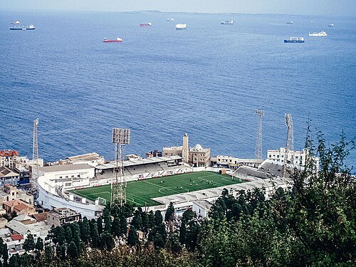 association football venue
Omar Hamadi Stadium
football stadium in Bologhine, Algiers, Algeria
Getting there Nearest stop or station Station Bab El Oued, about 7 min on foot OpenStreetMap
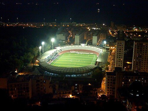 stadium
Stade 20 Août 1955
stadium
Getting there Nearest stop or station Station Jardin d'Essai, about 7 min on foot OpenStreetMap
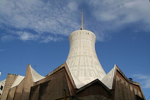 catholic cathedral
Cathedral of the Sacred Heart of Jesus, Algiers
cathedral in Algiers, Algeria
Getting there Nearest stop or station Khelifa Boukhalfa, about 9 min on foot OpenStreetMap
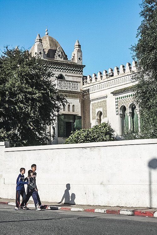 villa
Villa Sesini
building and torture camp in Algeria
Getting there Nearest stop or station Station El Madania, about 1 min on foot OpenStreetMap
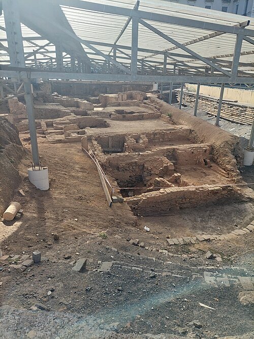 ancient city
Icosium
ancient city near Algiers in Africa
Getting there Nearest stop or station Ali Boumendjel, about 5 min on foot OpenStreetMap
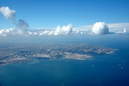 bay
Bay of Algiers
bay in Algiers, Algeria
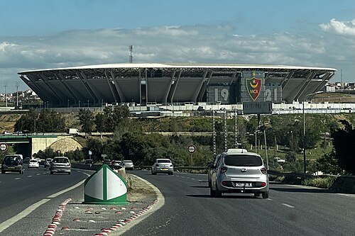
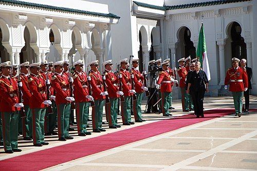
U.S. Department of State from United States / Public domain
palaceEl Mouradia Palace
the official residence of the President of the Algerian Republic
Getting there Nearest stop or station Station Bir Mourad Raïs, about 11 min on foot OpenStreetMap
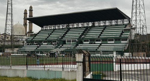 stadium
Mohamed Benhaddad Stadium
building in Algeria
Getting there Nearest stop or station Gare routière de Ben Omar, about 6 min on foot OpenStreetMap
- stadium
Stade Dar El Beïda
building in Algeria
Getting there Nearest stop or station Dar El Beida, about 11 min on foot OpenStreetMap
- venue
Rouïba Olympic Stadium
Soccer stadium located in Rouïba, Algeria
Getting there Nearest stop or station Station de Bus vers Alger-Ain Taya, about 11 min on foot OpenStreetMap
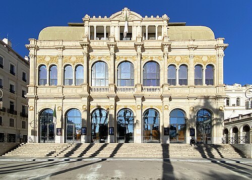 theatre building
Algerian National Theater Mahieddine Bachtarzi
building in Algeria
Getting there Nearest stop or station Ali Boumendjel, about 3 min on foot OpenStreetMap
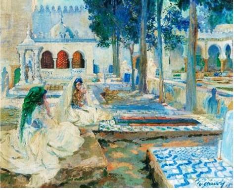
Léon Cauvy (1874-1933) / Public domain
cemeteryEl Kettar Cemetery
cemetery in Algeria
Getting there Nearest stop or station محطة تريولي, about 5 min on foot OpenStreetMap
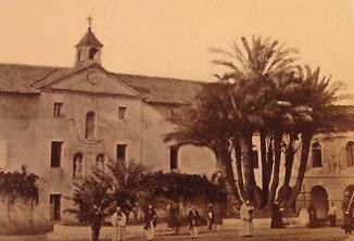
Unknown authorUnknown author / Public domain
trappist monasteryStaoueli Abbey
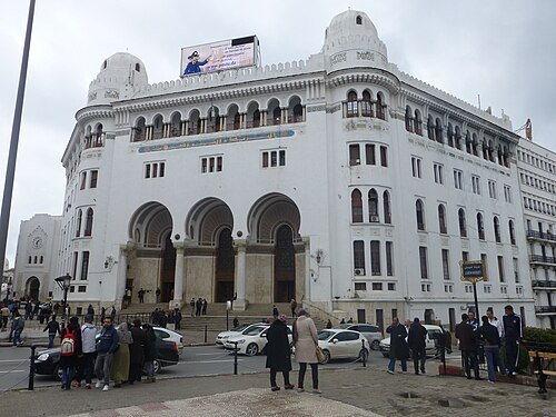 boulevard
Boulevard Mohamed-Khemisti
Getting there Nearest stop or station Tafourah - Main post office, about 2 min on foot OpenStreetMap
- palace
People's Palace (Algiers)
public building in Algiers
Getting there Nearest stop or station 1st May, about 15 min on foot OpenStreetMap
- sports venue
Hassen Harcha Arena
sports venue
Getting there Nearest stop or station 1st May, about 9 min on foot OpenStreetMap
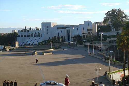
US Army Africa from Vicenza, Italy / CC BY 2.0
military museumCentral Army Museum
museum in Algiers, Algeria
Getting there Nearest stop or station Mémorial, about 4 min on foot OpenStreetMap
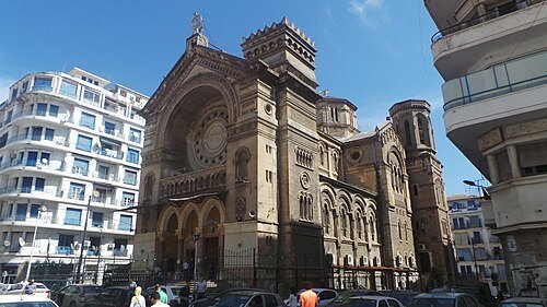 mosque
El Rahma Mosque
mosque in Algiers, Algeria
Getting there Nearest stop or station Khelifa Boukhalfa, about 1 min on foot OpenStreetMap
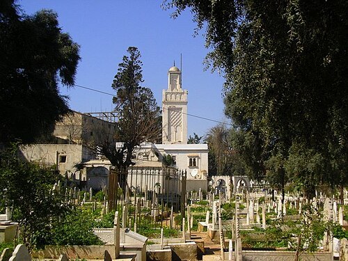 cemetery
Sidi M'hamed Bou Qobrine Cemetery
cemetery in Belouizdad
Getting there Nearest stop or station Station Sidi M'hamed محطة سيدي امحمد, about 2 min on foot OpenStreetMap
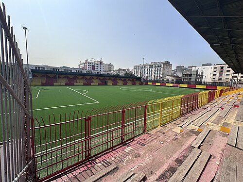 stadium
Stade Frères Zioui
multi-use stadium
Getting there Nearest stop or station Station Tripoli Thaalibia, about 2 min on foot OpenStreetMap
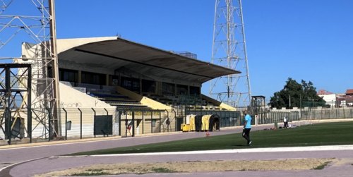 stadium
Stade 1er Novembre 1954
Football stadium in Algeria
Getting there Nearest stop or station Station Pont El Harrch, about 7 min on foot OpenStreetMap
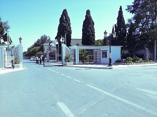 cemetery
El Alia Cemetery
cemetery in Algeria
Getting there Nearest stop or station محطة القطب الجامعي, about 17 min on foot OpenStreetMap
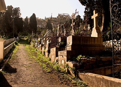 cemetery
St. Eugene Cemetery
cemetery in Algeria
Getting there Nearest stop or station Station Notre Dame d'Afrique, about 7 min on foot OpenStreetMap
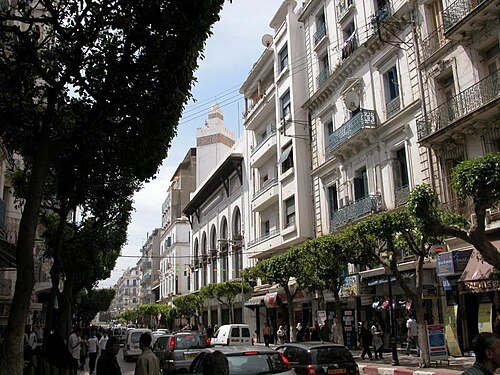 street
Larbi Ben M’Hidi street
street in Alger Centre, Algeria
Getting there Nearest stop or station Ali Boumendjel, about 6 min on foot OpenStreetMap
- park
Ben Aknoun Park


Places to eat
- restaurant
FUN - Pizzeria Salon de thé
Food: sandwich, french, crepe, tea, cake, mediterranean, local, coffee shop, pizza, diner
Nothing here matches that. Clear a filter and try again.
Opening hours and tickets: OpenStreetMap contributors. Each one shows the day a volunteer last wrote it down, so check the official site before you set out.